
Map · 6 places
Bangladesh Cyclone and Flood Zones
This map highlights the cyclone-prone areas in the southern region of Bangladesh, as well as the flood-prone lowland areas across the country. It serves as a vital tool for understanding the environmental risks and planning for disaster management in Bangladesh.
Made with ProxiUpdated Jun 2025
- Disaster Risk Zones 5
- Flood Prone Areas 1
Places on This Map
6 places · 2 groupsNearby Maps
Dream Touch Production Map
9 stops Delwar Hossain's Workspace
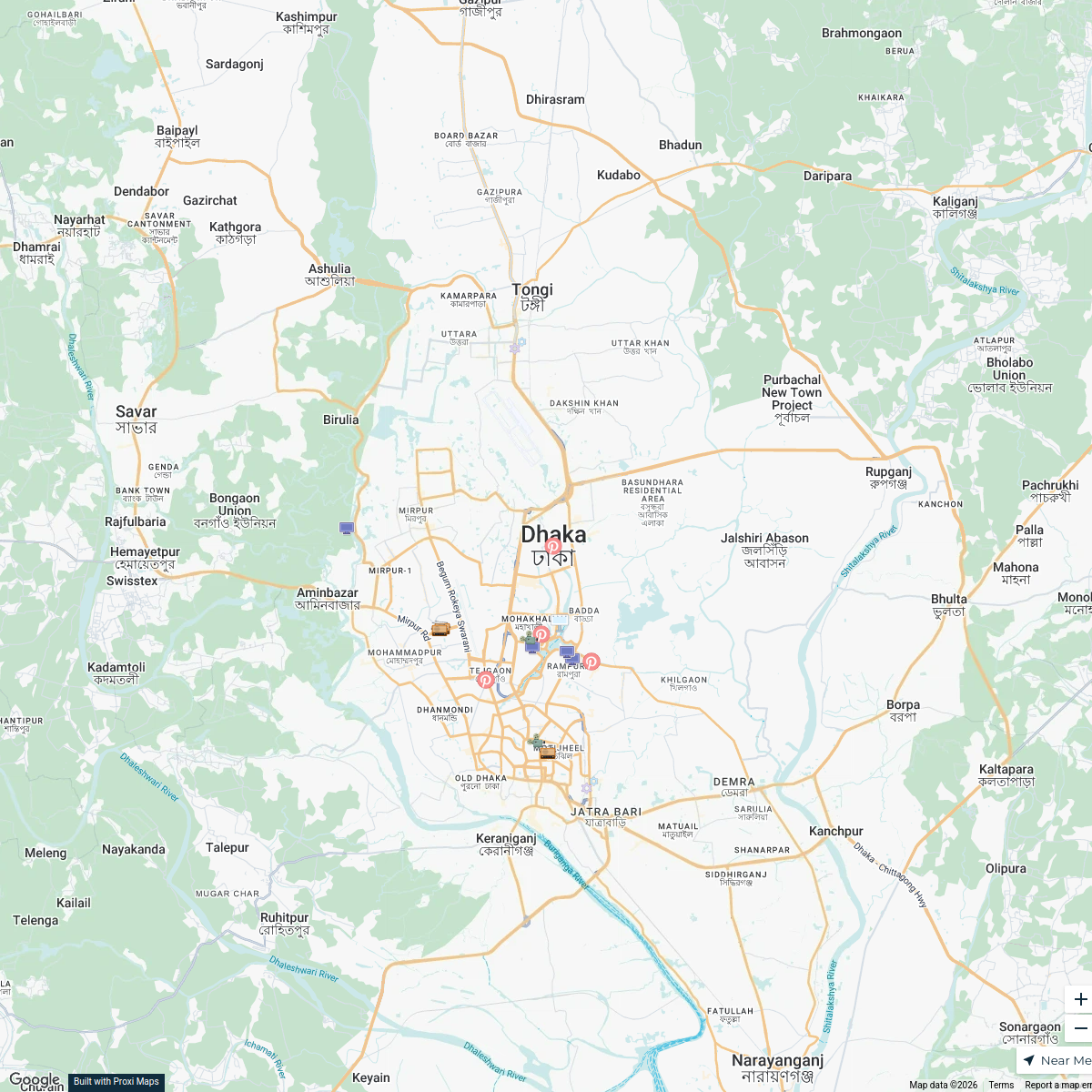
Electronic Media in Dhaka
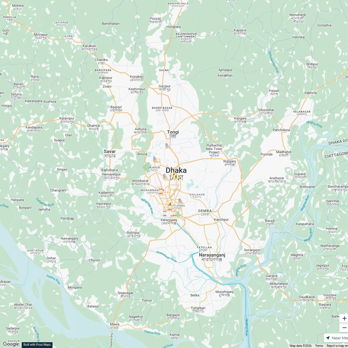
20 stops · Dhaka, BangladeshOffice Building's WorkspaceParks in Dhaka
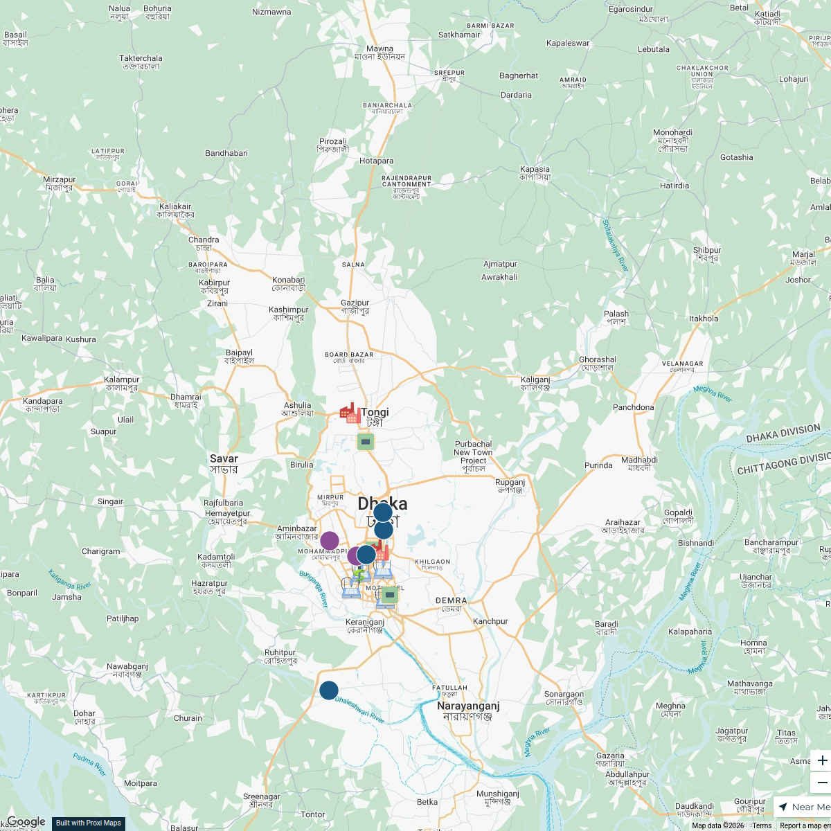
20 stops · Dhaka, Bangladeshrayhanul's WorkspaceDhaka Industries
17 stopsMd Mobashir Hasan's WorkspaceOur Participants
116 stops Future Scholar Foundation's Workspace
National Focal Points
25 stopsu.schwela's Workspace
This map was made with Proxi
Have a main street, a market, or a story worth walking? Make your own map in a few minutes.