
Map · 18 places
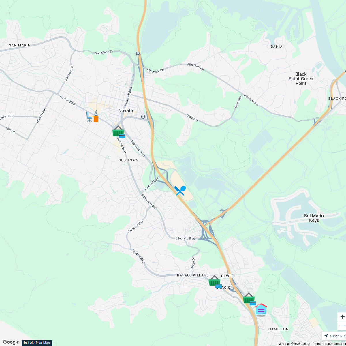
San Francisco Bay Area BART Map
A comprehensive map highlighting the BART (Bay Area Rapid Transit) stations and routes throughout the San Francisco Bay Area. This map focuses on the connectivity and accessibility provided by the BART system across key areas of the Bay Area including major cities and transportation hubs.
Made with ProxiUpdated Jun 2025
- City Landmarks 7
- Public Transport 7
- BART Stations 2
- Travel Tips 2
Places on This Map
18 places · 4 groupsNearby Maps
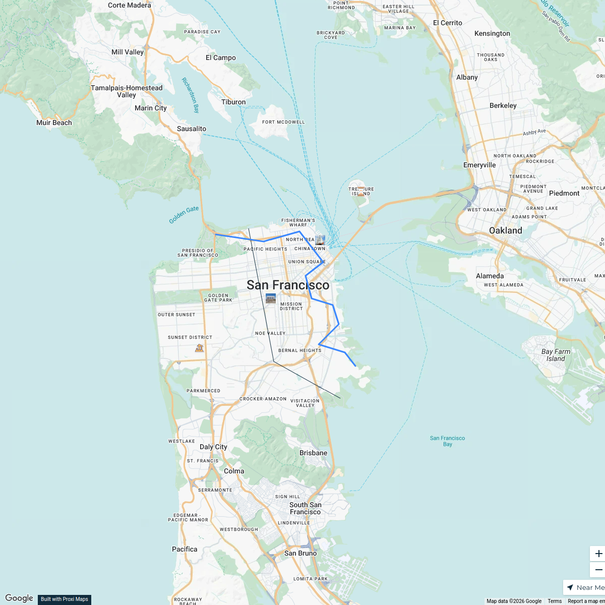
San Francisco Gold Rush Era Map
4 stops Aaron Peakes's Workspace
Steele San Fran 2026
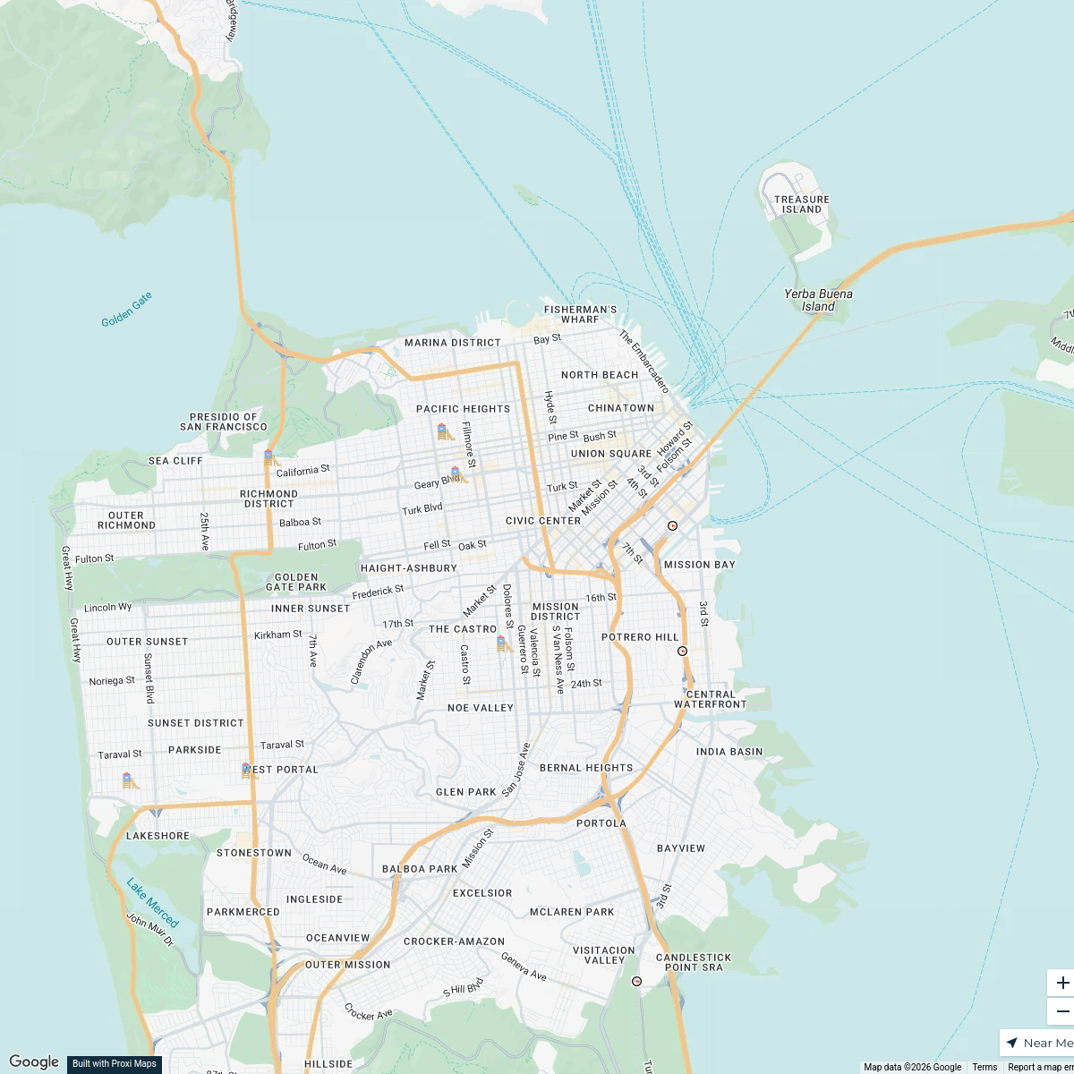
16 stops · San Francisco, CA, USAhumboldt 2026San Francisco Playgrounds
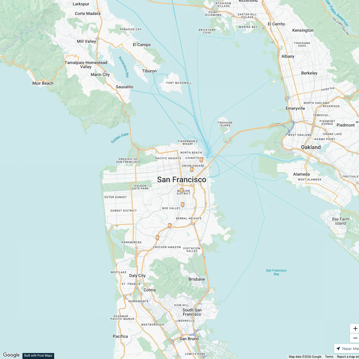
7 stops · San Francisco, CA, USAjvi2025's WorkspaceBART Stations in San Francisco
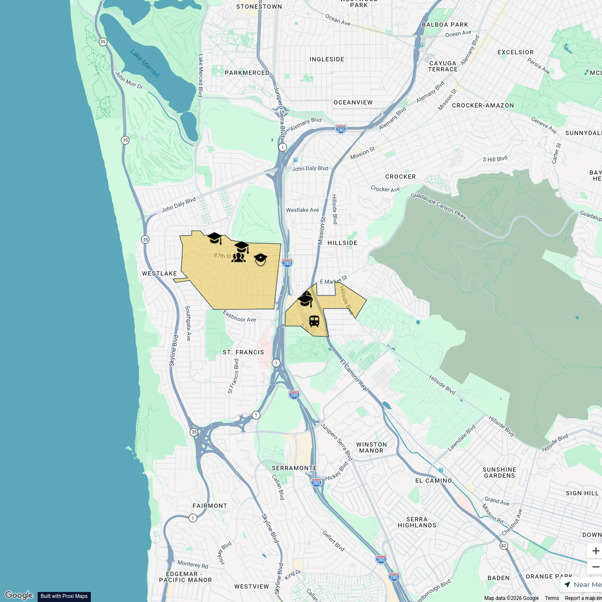
6 stops · San Francisco, CA, USAMatvey Kalachev's WorkspaceBroadmoor Residential Neighborhood Map
7 stops rrouse's Workspace
Proud to be pet inclusive!
8 stops brian's Workspace

This map was made with Proxi
Have a main street, a market, or a story worth walking? Make your own map in a few minutes.