
Map · 16 places
Dehradun Site Suitability Map
Map highlighting suitability and risk zones for development in and around Dehradun, Uttarakhand.
Made with ProxiUpdated Jun 2025
- City 3
- Educational Institution 2
- Natural Site 2
- Public Park 2
- Hill Station 1
- Religious Site 1
- Research Institution 1
- Road 1
- State 1
- Town 1
- Transport Hub 1
Places on This Map
16 places · 11 groupsNearby Maps
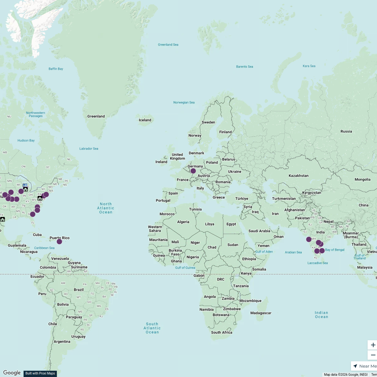
Uttarakhand Tourist Map
71 stops · Uttarakhand, India Aanchal Khanna's Workspace
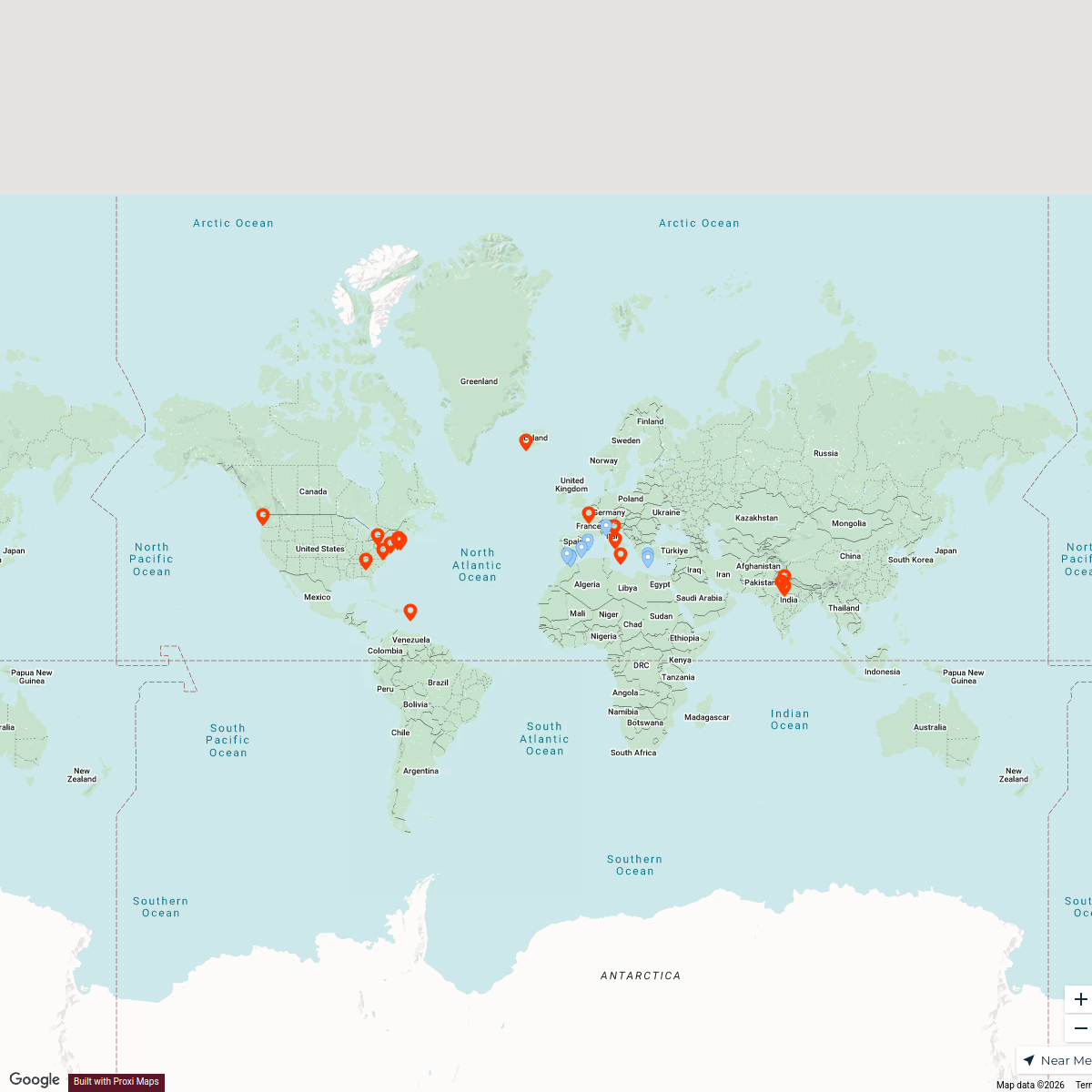
D&A Places
392 stops tricia.grasher's Workspace
Traveled
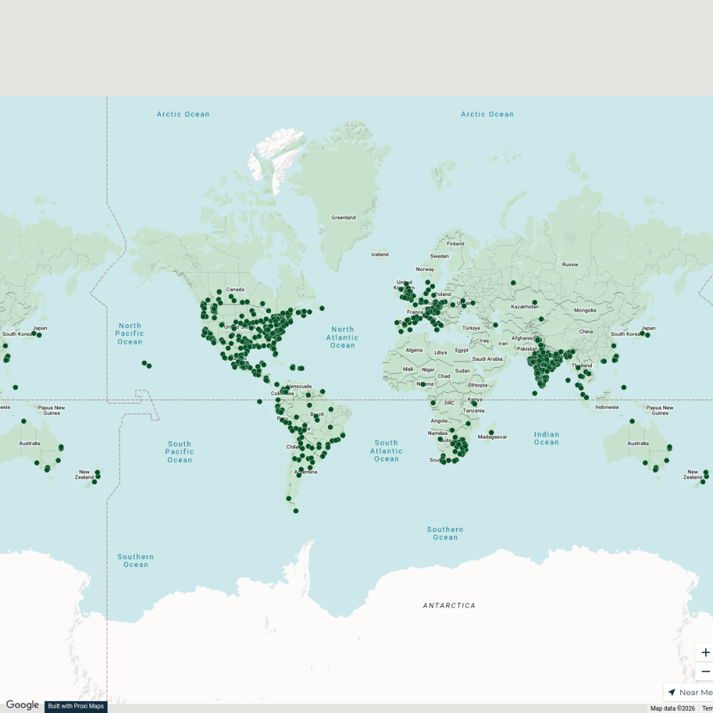
25 stopsAnika Agarwal's WorkspaceCity Nature Challenge 2024 cities
714 stops ajaecker's Workspace
Community Map
Dehradun Adventure Guide
16 stops · Dehradun, Uttarakhand, IndiaShared by the Proxi communityCommunity Map
Dehradun Educational Institutions
7 stops · Dehradun, Uttarakhand, IndiaShared by the Proxi community

This map was made with Proxi
Have a main street, a market, or a story worth walking? Make your own map in a few minutes.