
Map · 16 places
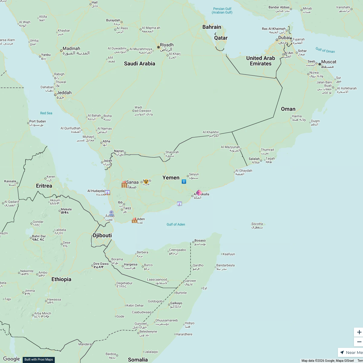
Yemen Oil Infrastructure Map
A detailed map centered on Yemen illustrating major oil fields marked with blue dots, solid lines indicating pipelines labeled with their length in kilometers and diameter in inches, and tank icons representing export terminals with their respective capacities. The map also features country borders and major cities as placeholders for reference, providing a comprehensive overview of Yemen's oil infrastructure.
Made by aiyouth87's WorkspaceUpdated Jun 2025
- Export Terminals 5
- Country Borders 4
- Major Cities 4
- Oil Fields 3
Places on This Map
16 places · 4 groupsNearby Maps
Yemen Power Plants Map
13 stops · Yemen dr.salah.alshaibani's Workspace
Community Map
Map of Selected Countries
9 stops · YemenShared by the Proxi communityCommunity Map
Yemen Terrain Map
3 stops · YemenShared by the Proxi communityCommunity Map
Yemen Research Map
12 stops · YemenShared by the Proxi communityCommunity Map
Yemen Conflict Historical Overview
14 stops · YemenShared by the Proxi communityCommunity Map
Districts of Yemen
16 stops · YemenShared by the Proxi community
This map was made with Proxi
Have a main street, a market, or a story worth walking? Make your own map in a few minutes.