
Map · 9 places
Public Transport in Chemnitz
A detailed map highlighting public transport options in Chemnitz, Germany, including bus and tram stops, lines, schedules, and connectivity to key landmarks.
Made with ProxiUpdated Jun 2025
- Hotels 2
- Train Stations 2
- Bus Stops 1
Places on This Map
9 places · 3 groupsNearby Maps
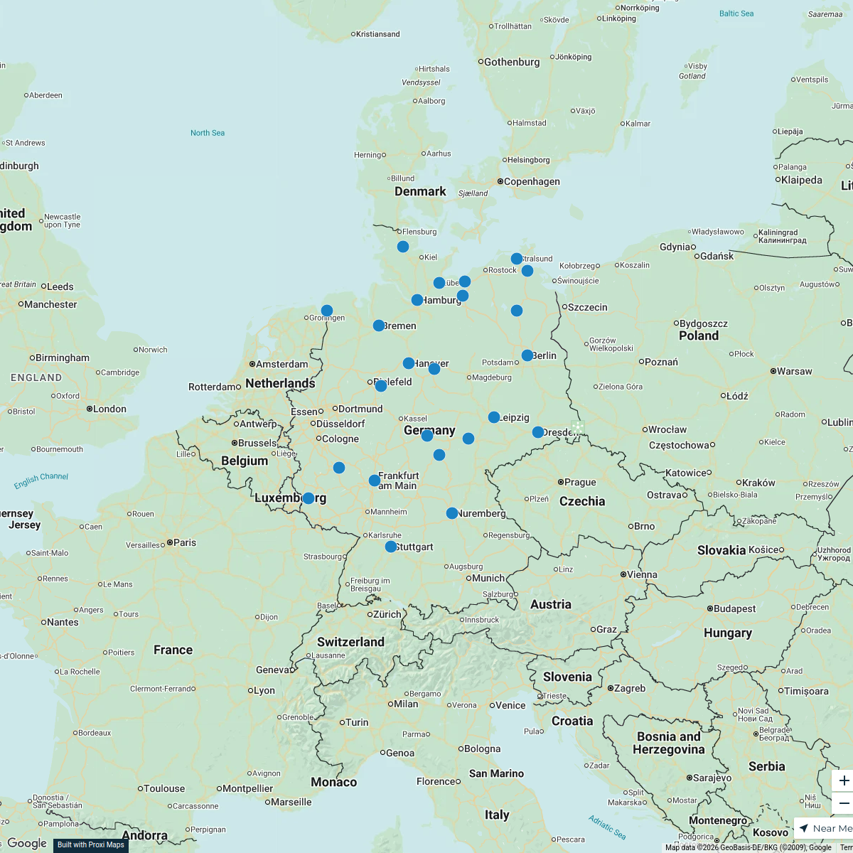
Germany Hub Map
26 stops · Germany preussen's Workspace
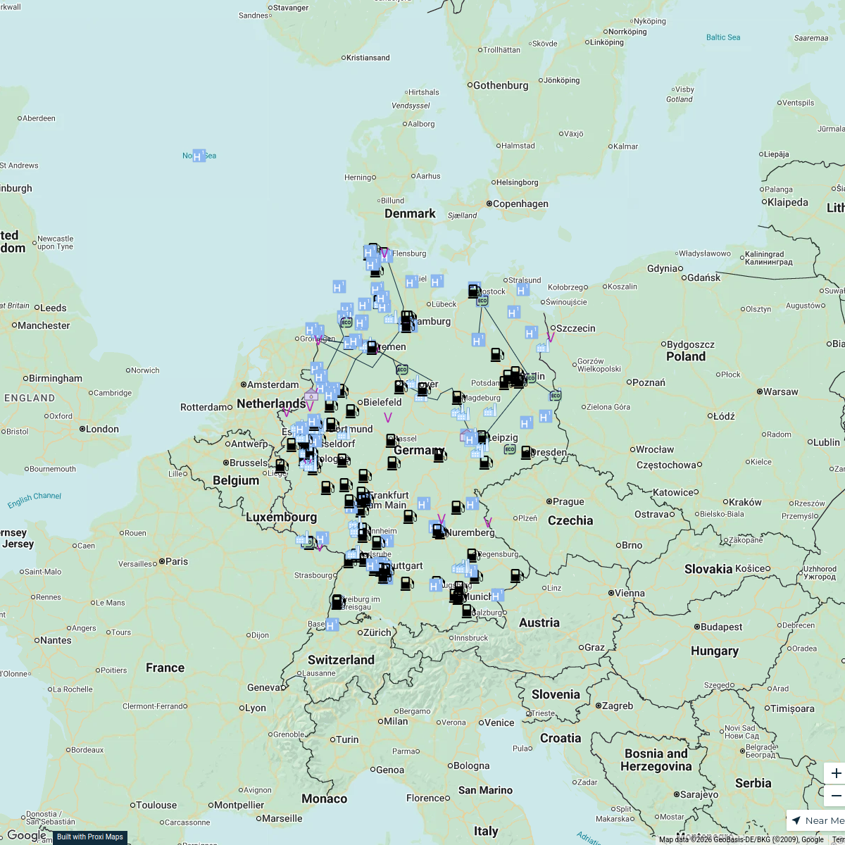
Wasserstoff Infrastruktur in DE
250 stopsnina.vogel's WorkspaceWolfsburg Exploration
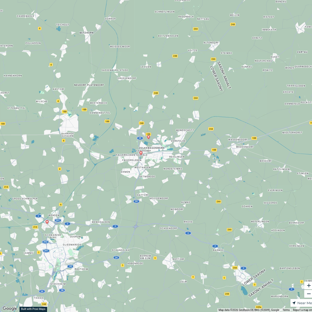
21 stops · 38 Wolfsburg, Deutschland coolgirl.den's Workspace
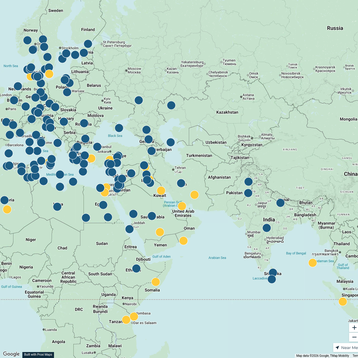
Pin Your Heart
425 stops · Europe Voluson Performance
Tourist Attractions in France
328 stopsanders.winroth's WorkspaceCommunity Map
Chemnitz Map 2025
16 stops · Chemnitz, 09 Chemnitz, DeutschlandShared by the Proxi community

This map was made with Proxi
Have a main street, a market, or a story worth walking? Make your own map in a few minutes.