
Map · 31 places
Evacuation Route from Beirut to Amman
A detailed evacuation map illustrating the overland vehicle route from Beirut, Lebanon, through Tripoli and into Syria via Homs and Damascus, ultimately reaching Amman, Jordan. The map distinguishes between Plan A (fastest route) and Plan B (safest route), highlighting key highways, border crossings, and cities while avoiding conflict-prone areas.
Made with ProxiUpdated Jun 2025
- Evacuation Routes 10
- Border Crossings 9
- Highways 6
- Military Zones 4
- Safe Zones 2
Places on This Map
31 places · 5 groupsNearby Maps
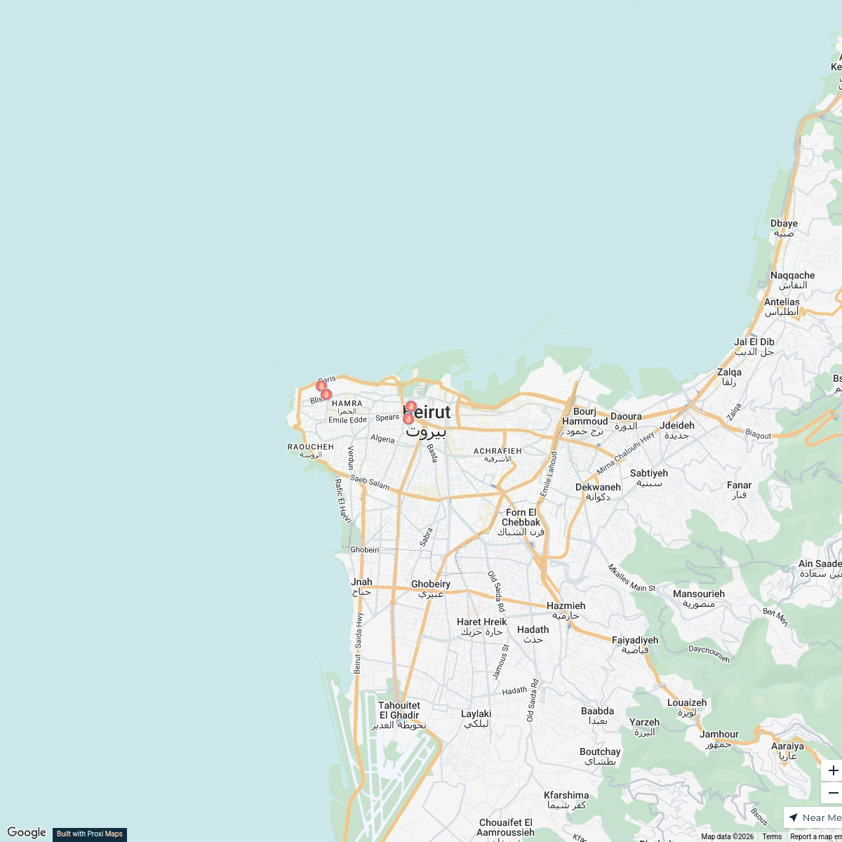
Gyms in Hamra and Bliss, Beirut
5 stops mohamad taym kassas's Workspace
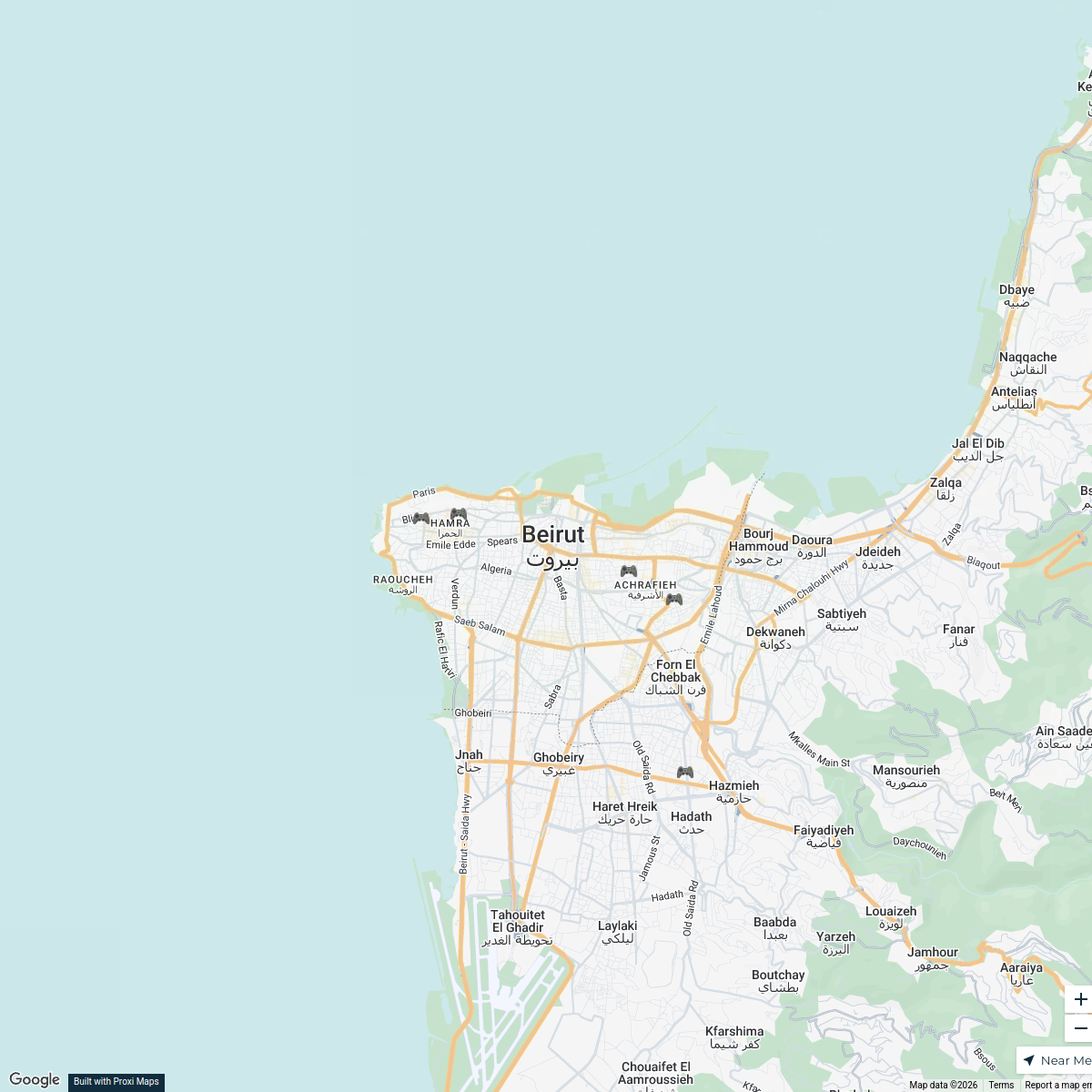
Jdeideh Gaming Lounge Map
5 stops · Jdeideh, LebanonYehya Chami's WorkspaceFitness Centers in Beirut
5 stops · Beirut, Lebanonmohamad taym kassas's WorkspacePrivate Schools in Beirut
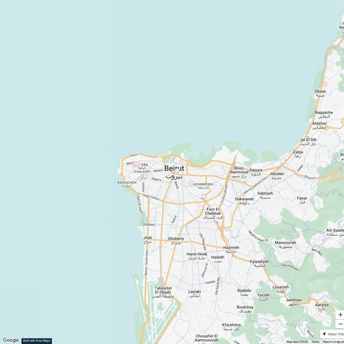
4 stops · Beirut, LebanonMohammed Omran's WorkspaceFlower Shops of Beirut
23 stops · Beirut, LebanonDalia Ghadban's WorkspaceGyms in Beirut
5 stops · Beirut, Lebanonmohamad taym kassas's Workspace


This map was made with Proxi
Have a main street, a market, or a story worth walking? Make your own map in a few minutes.