
Map · 17 places
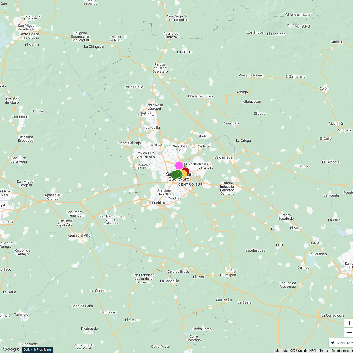
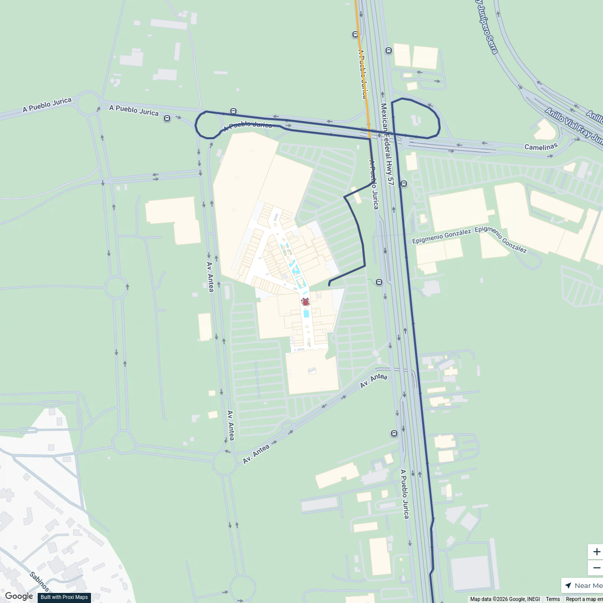
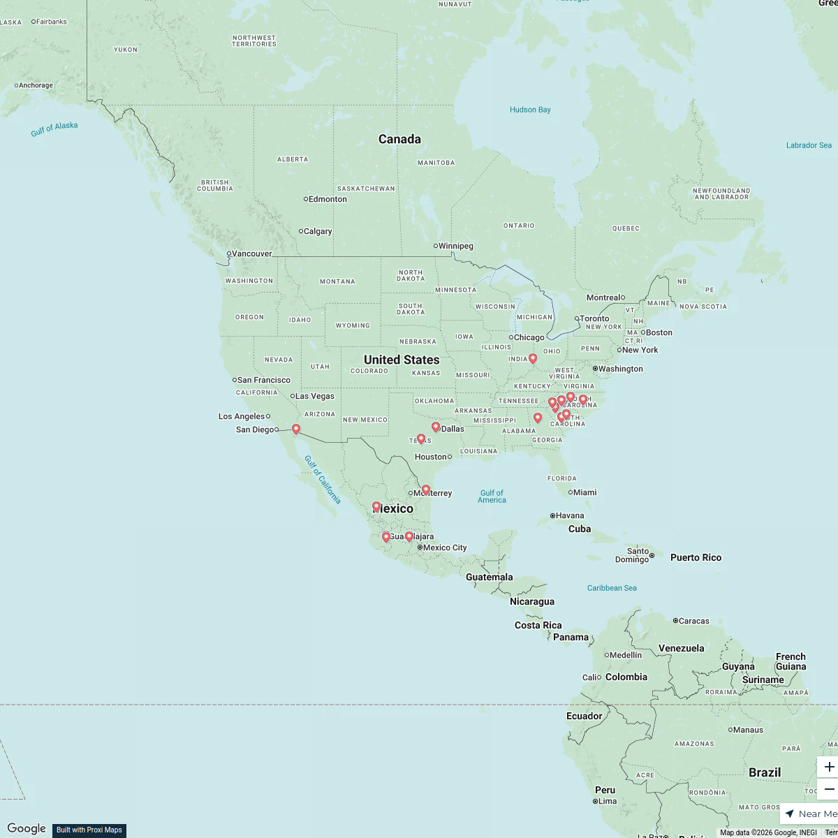
Querétaro School Zone Map
A detailed map showcasing the areas around a central school in Querétaro, providing insights into nearby facilities, parks, and essential services.
Made with ProxiUpdated Jun 2025
- Parks 3
- Schools 3
- Shopping 3
- Medical Facilities 2
- Public Transport 2
- Restaurants 2
- Cafes 1
- public health services 1
Places on This Map
17 places · 8 groupsNearby Maps
3er Piso Churk´s para Chilangos
23 stops · Santiago de Querétaro, Qro., Mexico Regina Urquiza's Workspace
Santiago Cabaret Scene
8 stops · Cabaret, Av. Antea 12401, 76127 Santiago de Querétaro, Qro., México Wedding Night
Maliarts Team
18 stopsgggMundo Joven > Sucursales, México
115 stops · MexicoJuan Garoz's WorkspaceComex, México Map
1266 stopsdcalzada's WorkspaceOFC Manufacturers in North America
22 stopsjignyasa07's Workspace

This map was made with Proxi
Have a main street, a market, or a story worth walking? Make your own map in a few minutes.