
Map · 20 places · Hailey, ID
Ketchum Walkability Map
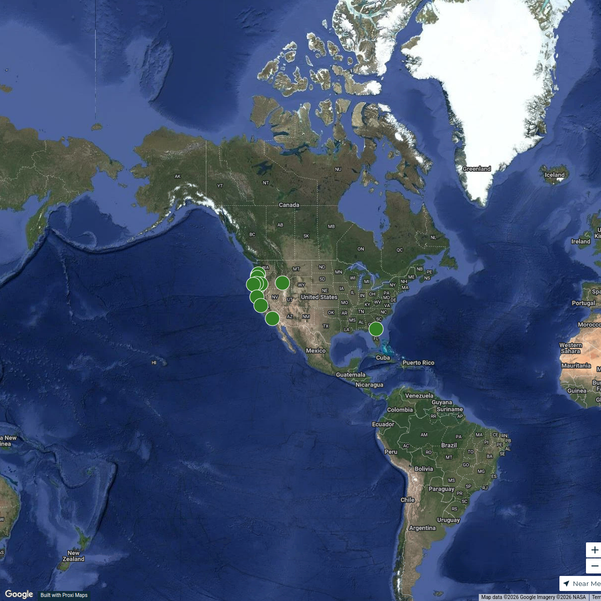
A detailed walkability map highlighting pedestrian-friendly areas, pathways, and amenities within Ketchum, Idaho. This map will serve as a resource for residents and visitors to explore the town on foot, including access to parks, shops, and community spaces.
Made with ProxiUpdated Jun 2025
- Parks 7
- Community Centers 4
- Public Transport 3
- Restaurants 3
- Shopping Areas 2
- Residential Areas 1
Places on This Map
20 places · 6 groupsNearby Maps

3 Day Ketchum Trip
9 stops · Ketchum, ID, USA Doug Colbeck's Workspace
Explorations Beyond City Limits
15 stops · City of Rocks, Idaho 83342, USA candicefuhriman's Workspace
Puppy Locations, USA
16 stops · United Statesssyovan's WorkspaceCities That Raised Winter Olympians
40 stops Livability
Brian’s Ski Map
20 stops · Denver, CO, USAbeisenbeis's WorkspaceRink Deets
918 stops andrea's Workspace


This map was made with Proxi
Have a main street, a market, or a story worth walking? Make your own map in a few minutes.