
Map · 17 places
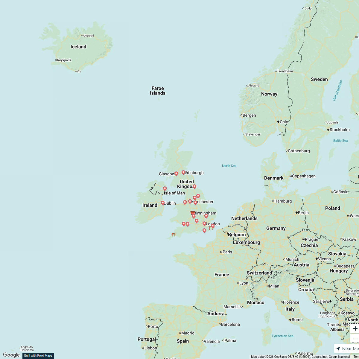
Land Use Map of Saltaire
This map provides an overview of the various land uses in Saltaire, Shipley, UK, highlighting residential, commercial, industrial, recreational, and public spaces. It focuses on the unique historical and cultural significance of Saltaire, known for its Victorian architecture and status as a UNESCO World Heritage Site.
Made with ProxiUpdated Jun 2025
- Cultural Heritage Sites 6
- Educational Institutions 2
- Health Facilities 2
- Transport Links 2
- Commercial Zones 1
- Industrial Sites 1
- Public Parks 1
- Residential Areas 1
Places on This Map
17 places · 8 groupsNearby Maps
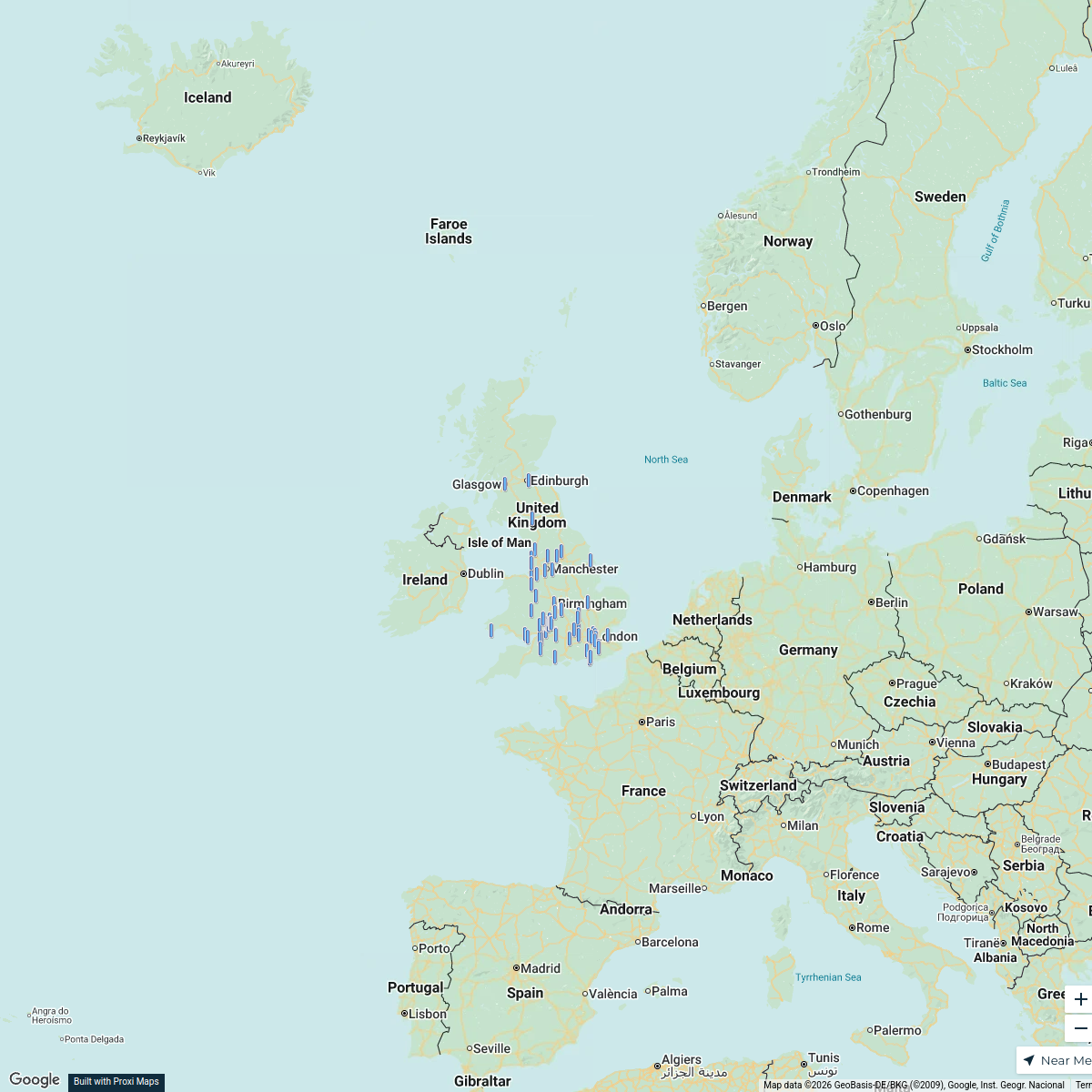
CBUK/WW map!
64 stops skirkwood-horne's Workspace
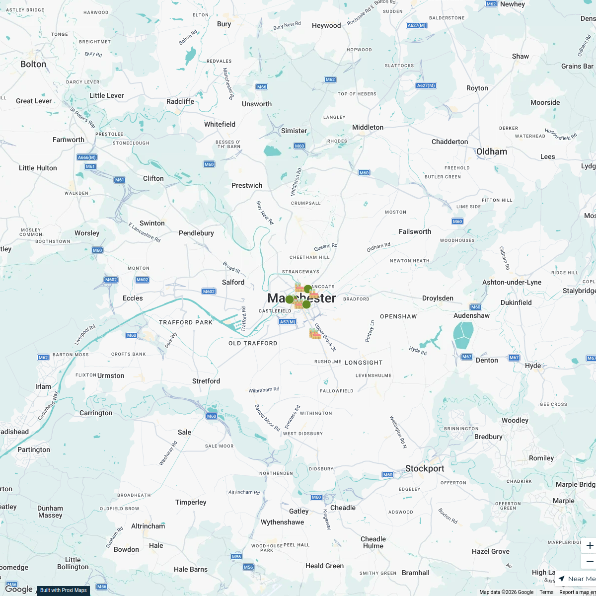
A Day in Manchester, UK
12 stops · 曼彻斯特, 英国曼彻斯特 suqiao
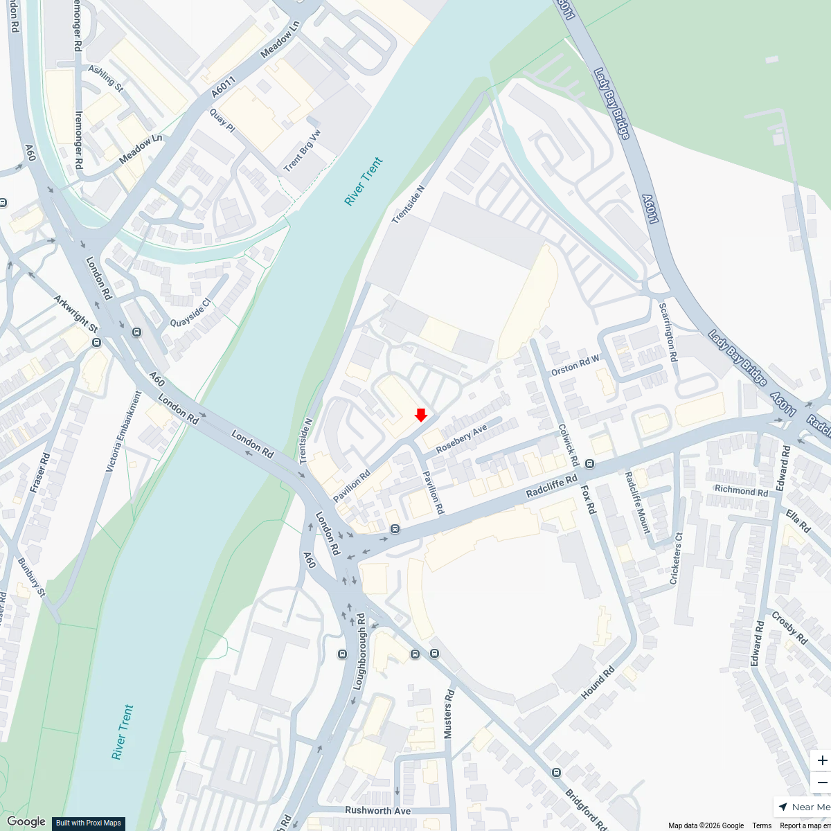
Music Venues Near Nottingham Forest
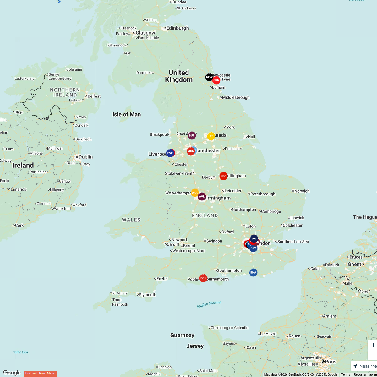
7 stops · Nottingham Forest Football Club Ticket Office, Pavilion Road, West Bridgford, Nomowen's WorkspacePremier League Clubs Map
20 stopsjake's WorkspaceMap of Premier League Teams
20 stops · England, UK Andrew Swinney's Workspace
United Kingdom Overview Map
22 stops · United Kingdom, Verenigd KoninkrijkFemke De Bruin's Workspace

This map was made with Proxi
Have a main street, a market, or a story worth walking? Make your own map in a few minutes.