
Map · 16 places
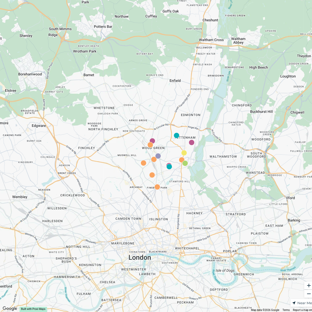
Hatfield and Surrounding Areas
A map showing Hatfield in relation to key locations and infrastructure in the area.
Made with ProxiUpdated May 2025
- Town 3
- Health 2
- Commercial 1
- Community Facility 1
- Education 1
- Natural Area 1
- Park 1
- Pathway 1
- Planning Zone 1
- Residential 1
- Road 1
- Transport 1
- Water Body 1
Places on This Map
16 places · 13 groupsNearby Maps
Haringey Community and Food Support
15 stops · London Borough of Haringey, London, UK spokengift1's Workspace
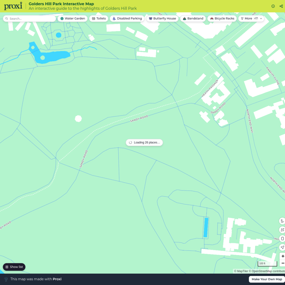
Golders Hill Park Interactive Map
26 stops mattwasser's Workspace
Pest Control London
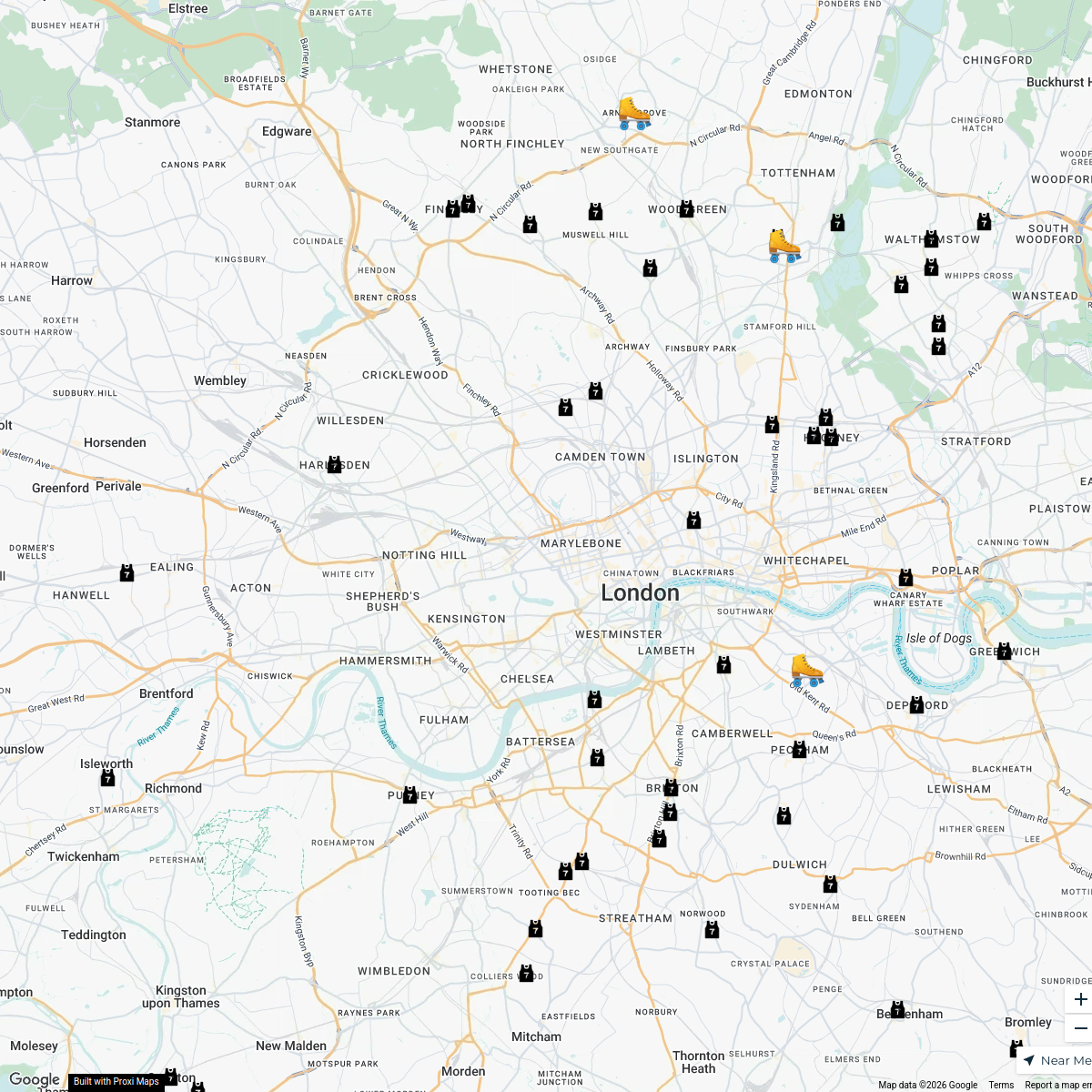
37 stops · MA PEST CONTROL, 20 Ladbroke Cres, London W11 1PS, UKbethalmoore's WorkspaceLondon Roller Derby
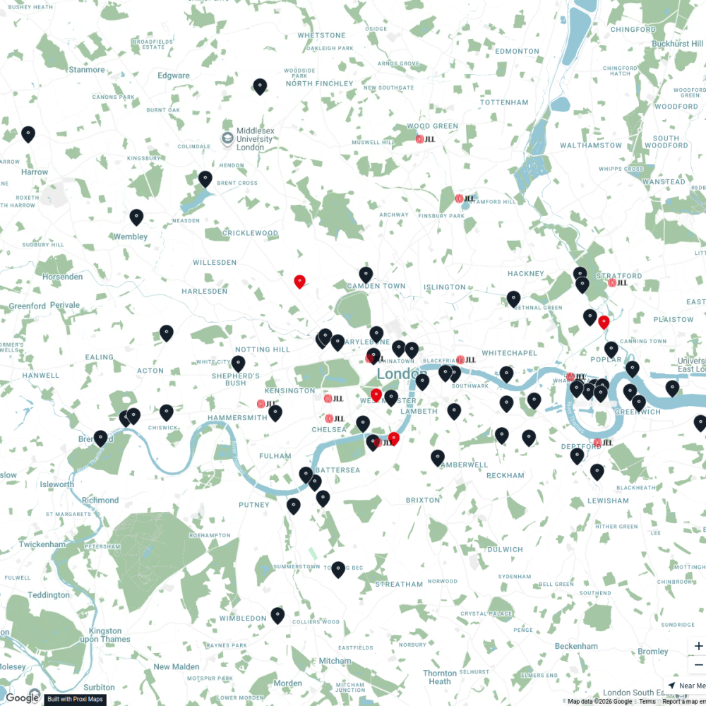
76 stopskatylw123's WorkspaceJLL Residential
76 stops JLL London
LAB ARCHITECTS
1 stop · London, UKgeorgie's Workspace

This map was made with Proxi
Have a main street, a market, or a story worth walking? Make your own map in a few minutes.