
Map · 18 places
Urban Development in Meghalaya
A comprehensive map showcasing the built-up areas of Meghalaya, India, highlighting urban growth, infrastructure, and key urban centers within the state.
Made with ProxiUpdated May 2025
- Public Services 4
- Recreational Spaces 3
- Residential Zones 3
- Urban Areas 3
- Commercial Areas 2
- Infrastructure 2
- Transport Networks 1
Places on This Map
18 places · 7 groupsNearby Maps
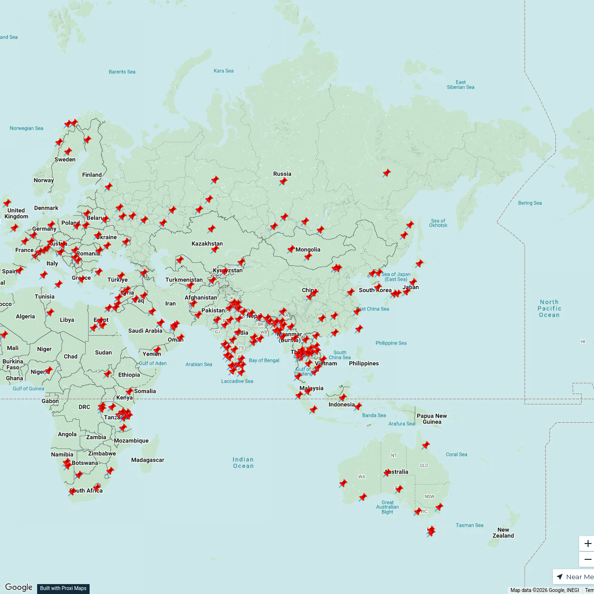
Asia-Centered World Map
211 stops · Asia Cameron's Workspace
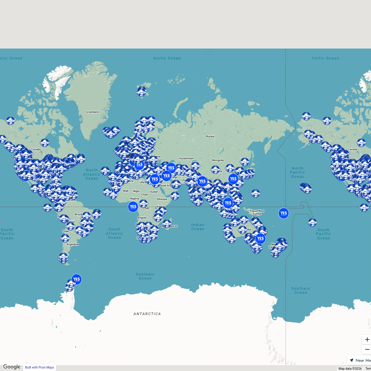
Seek Discomfort Adventure Map
974 stops Seek Discomfort's Adventure Map
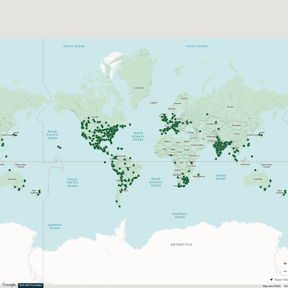
City Nature Challenge 2024 cities
714 stops ajaecker's Workspace
Community Map
Exploring Meghalaya
15 stops · Meghalaya, IndiaShared by the Proxi communityCommunity Map
Meghalaya Tourist Attractions
18 stops · Meghalaya, IndiaShared by the Proxi communityCommunity Map
Bridges of Meghalaya
8 stops · Meghalaya, IndiaShared by the Proxi community
This map was made with Proxi
Have a main street, a market, or a story worth walking? Make your own map in a few minutes.