
Map · 25 places
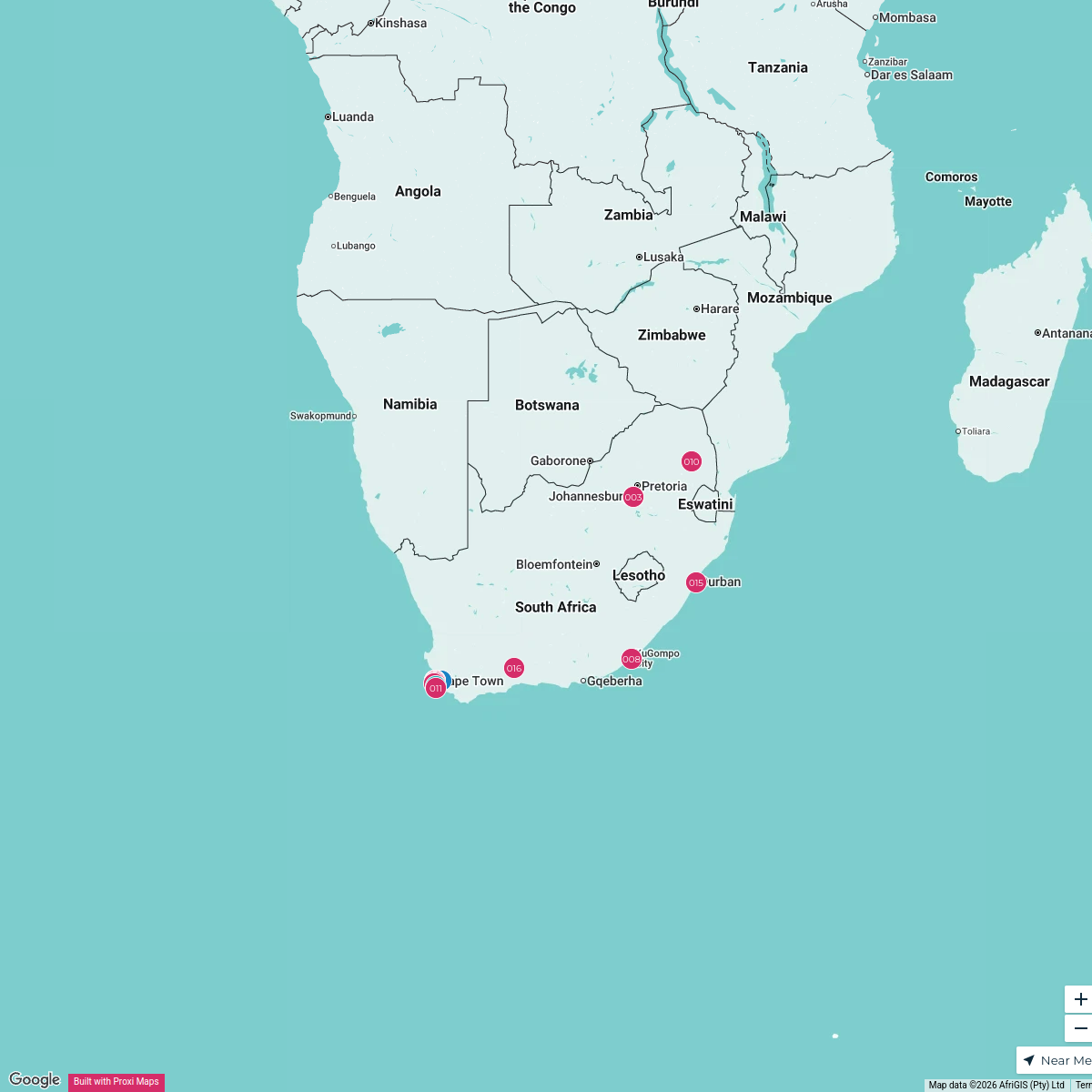
Public Health Facilities in Western Cape
A detailed map showcasing the locations of public health facilities throughout the Western Cape province of South Africa. This map helps users to easily find hospitals, clinics, and other healthcare services available in the region.
Made with ProxiUpdated May 2025
- Hospitals 12
- Planet Youth 8
- Community Health Centers 3
- New Facility Planned 2
Places on This Map
25 places · 4 groupsNearby Maps

Lekker Passport: Jimny Edition
47 stops Lekker Passport

Lekker Passport Map
577 stopsLekker Passport
Beer Passport 2024/2025
120 stopsLekker PassportExplore the world with TRAVEL360
17 stops Test Team
DISCOVER the WORLD
180 stops · default_map_center 360 Realiti
 Community Map
restaurants near dana bay
7 stops · Dana Bay, Mossel Bay, 6510, South AfricaShared by the Proxi community

This map was made with Proxi
Have a main street, a market, or a story worth walking? Make your own map in a few minutes.