
Map · 15 places
Florida Keys Hurricane Evacuation Map
A detailed map for evacuation routes and safety zones in the Florida Keys during hurricane events. This map includes information on shelters, hospitals, and evacuation routes essential for residents and tourists to navigate safely.
Made with ProxiUpdated May 2025
- Emergency Services 4
- Safety Zones 4
- Tourist Information 3
- Hospitals 2
- Evacuation Routes 1
- Shelters 1
Places on This Map
15 places · 6 groupsNearby Maps
Walmarts in North Florida
10 stops · North Key Largo, FL 33037, USA Frankie Gatlin's Workspace
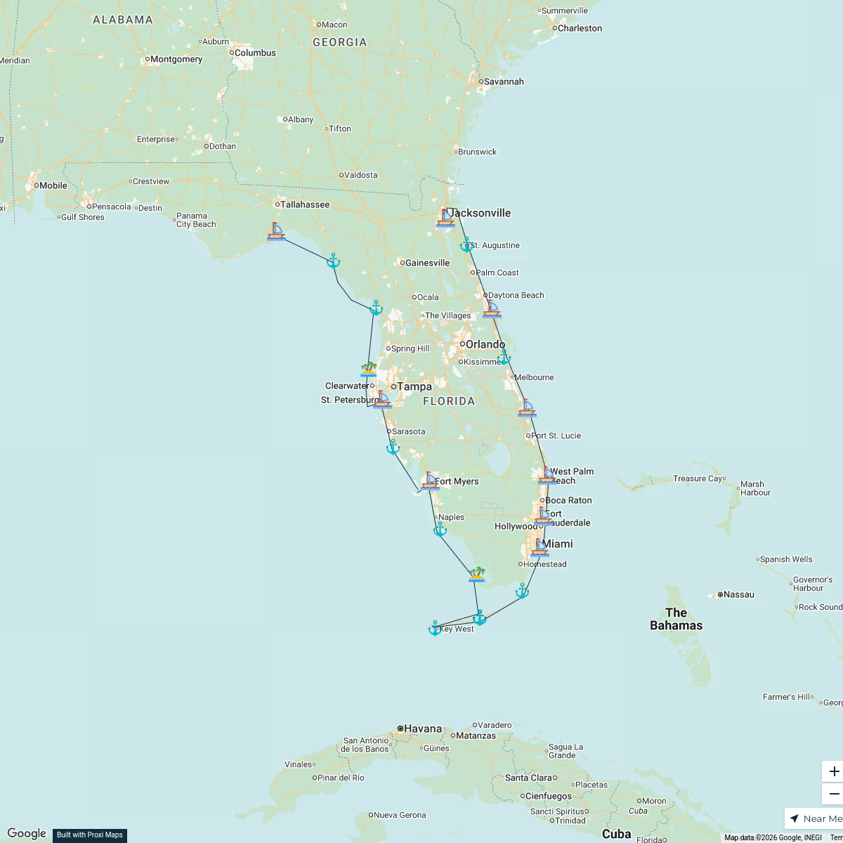
Florida Sail Plan Map
24 stops David Hart's Workspace
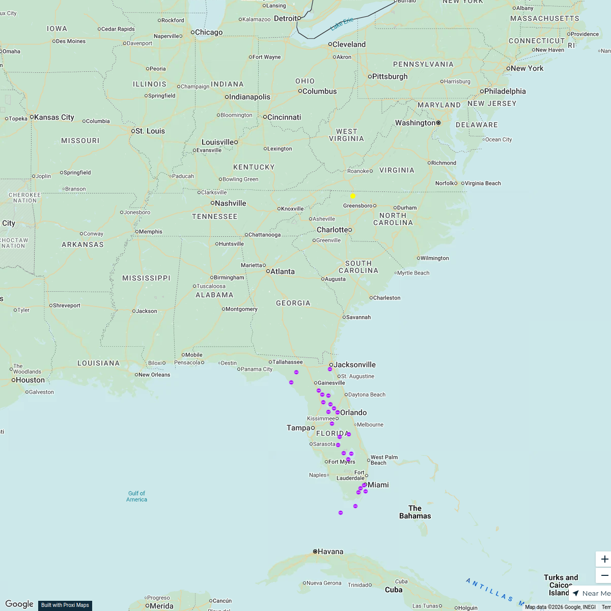
Southeast Region Destinations
19 stops · Florida, USAchristy.perez · @christy.perez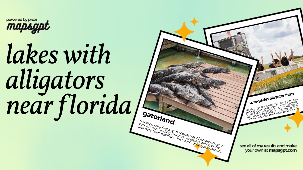
lakes with alligators near Florida
4 stops · Florida, USA Chelsey's Proxi Workspace
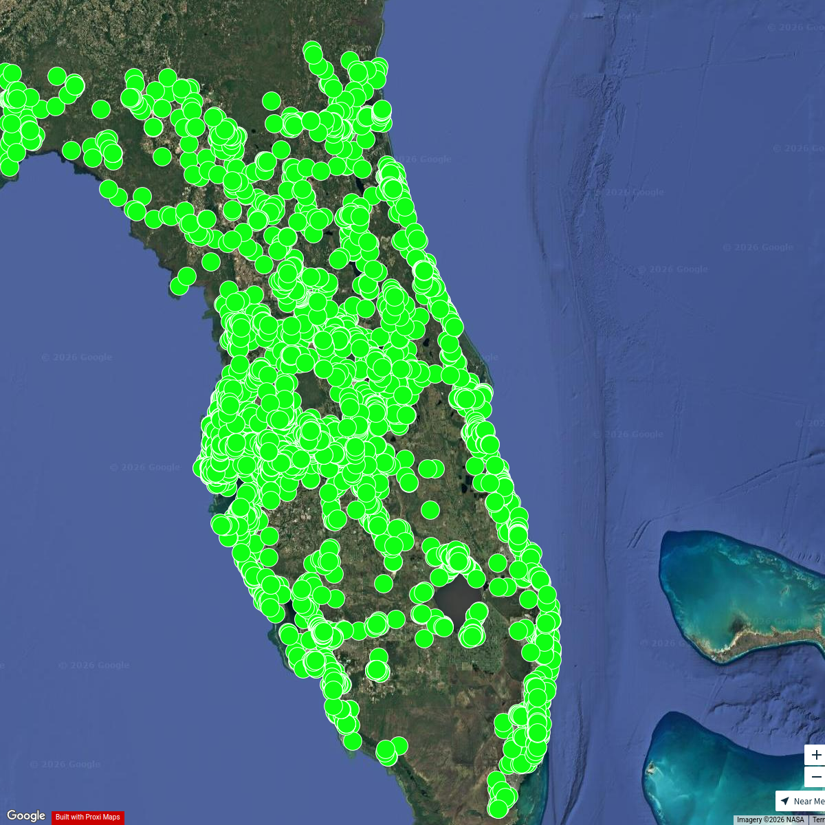
Florida MH Communities
5153 stops jason's Workspace
Florida Exploration Map
25 stopspeacemkr1's Workspace


This map was made with Proxi
Have a main street, a market, or a story worth walking? Make your own map in a few minutes.