
Map · 15 places
Farm Dam Dependency in East Grampians
This map showcases properties in the East Grampians area that rely on farm dams for water. It integrates spatial data on land parcels, reticulated water access, and the locations of dams to provide a comprehensive view of agricultural reliance on these water sources.
Made with ProxiUpdated May 2025
- Farm Dams 6
- Water Access 4
- Agricultural Properties 3
- Land Parcels 2
Places on This Map
15 places · 4 groupsNearby Maps
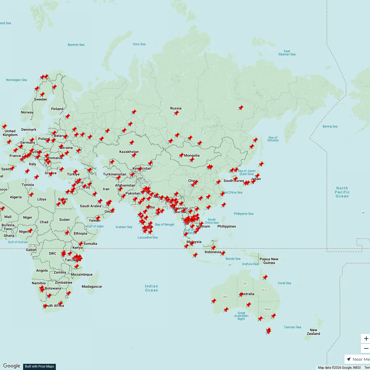
Asia-Centered World Map
211 stops · Asia Cameron's Workspace
Community Map
state parks near victoria, australia
9 stops · Victoria, AustraliaShared by the Proxi community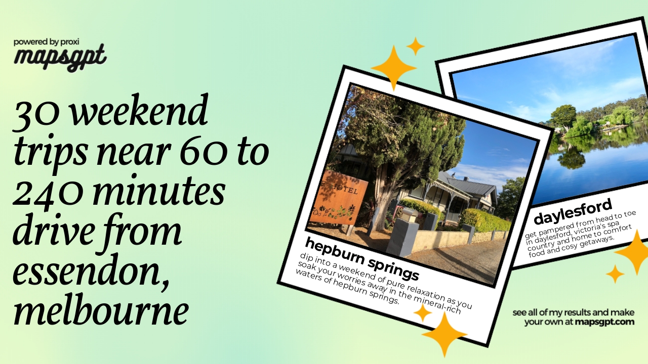 Community Map
30 weekend trips near 60 to 240 minutes drive from Essendon, Melbourne
27 stops · Essendon VIC 3040, AustraliaShared by the Proxi communityCommunity Map
rock climbing gyms near Melbourne
7 stops · Melbourne VIC, AustraliaShared by the Proxi community Community Map
hiking trails near melbourne
8 stops · Melbourne VIC, AustraliaShared by the Proxi communityCommunity Map
New South Wales Landmarks
22 stops · New South Wales, AustraliaShared by the Proxi community
This map was made with Proxi
Have a main street, a market, or a story worth walking? Make your own map in a few minutes.