
Map · 6 places
Political Map of Ahmedabad East
A detailed political map showcasing the various administrative divisions, constituencies, and significant political landmarks in the Ahmedabad East region of Gujarat.
Made with ProxiUpdated May 2025
- Political Parties 5
- Political Divisions 1
Places on This Map
6 places · 2 groupsNearby Maps
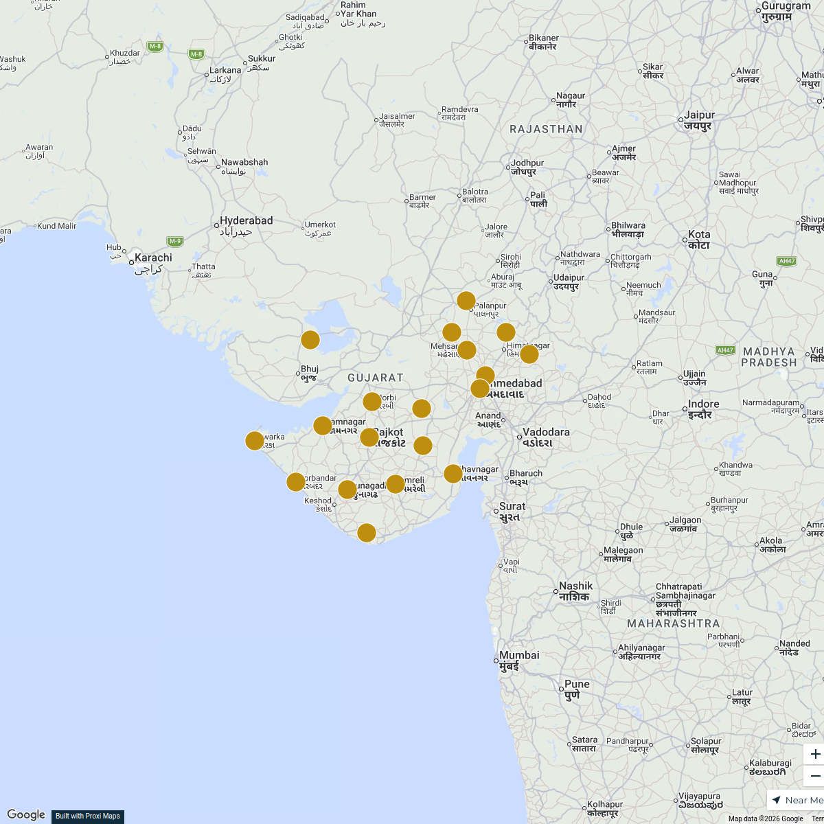
Districts in North Gujarat, Gujarat, India Map
19 stops · Gujarat, India Vedanshee Narshana's Workspace
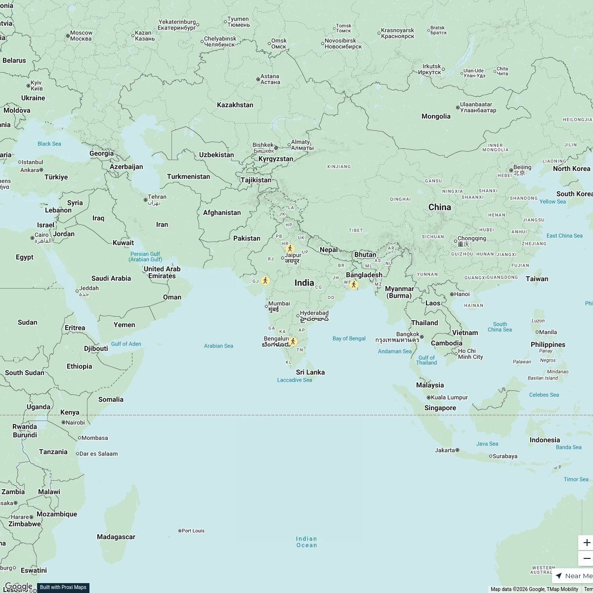
TB Incidence Across Indian States 2024
4 stops · India DrAishwarya A's Workspace
Pin Your Heart
425 stops · Europe Voluson Performance
ISAM 2024 Attendees
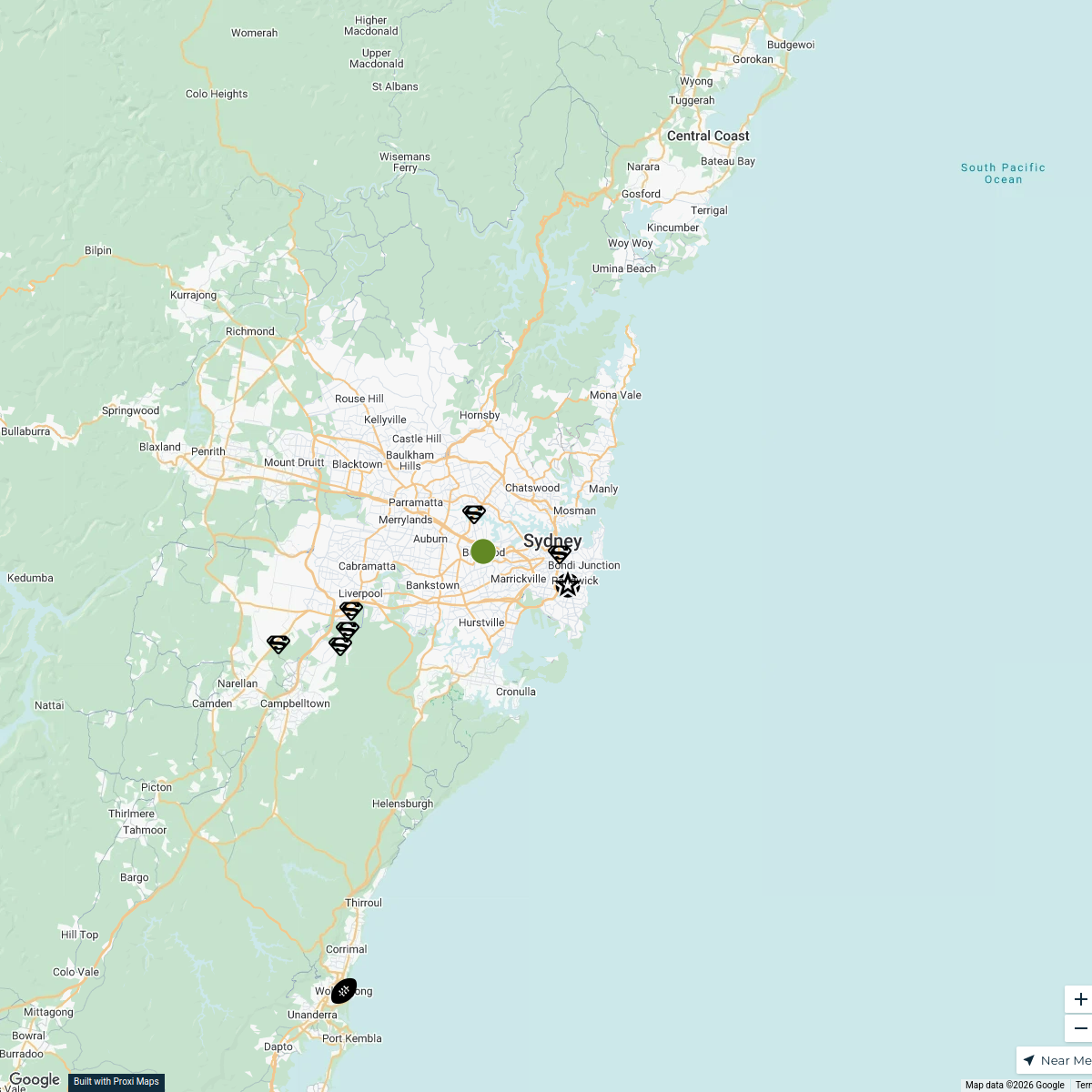
99 stopsPeter Mylon's WorkspaceSydney Explorer
127 stops · Sydney NSW, Australiabhidetejas03's WorkspaceBlack Natural Materials Economy
60 stopsAdire Farms & Colorworks's Workspace

This map was made with Proxi
Have a main street, a market, or a story worth walking? Make your own map in a few minutes.