
Map · 15 places
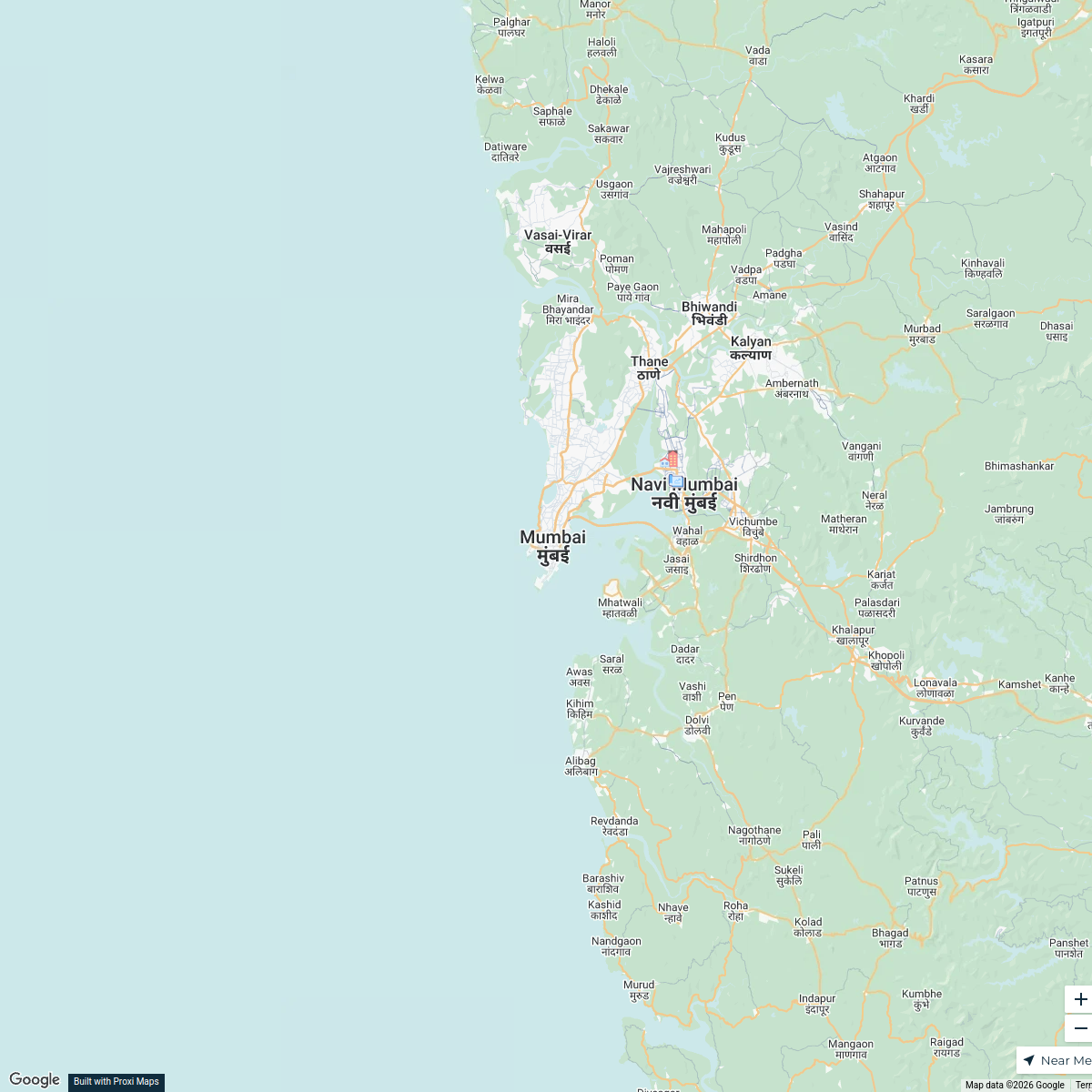
Nalasopara and Surrounding Areas Map
A detailed map focusing on Nalasopara and its surrounding areas within Mumbai, Maharashtra, showcasing key landmarks, neighborhoods, and transport links.
Made with ProxiUpdated May 2025
- Educational Institutions 3
- Landmarks 3
- Residential Areas 3
- Restaurants 3
- Parks and Recreation 2
- Shopping Centers 1
Places on This Map
15 places · 6 groupsNearby Maps
Real Estate Developments in Mumbai
2 stops · Mumbai, Maharashtra, India Saurav Mehta's Workspace
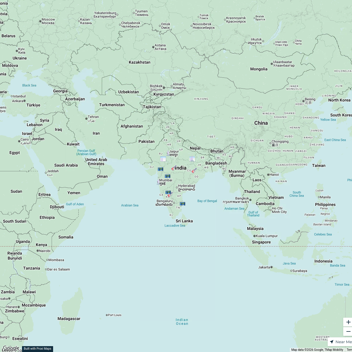
Prehistoric Sites in India
16 stops · India B_2_B Artistry's Workspace
Pin Your Heart
425 stops · Europe Voluson Performance

Beer Passport Map
357 stops Lekker Passport
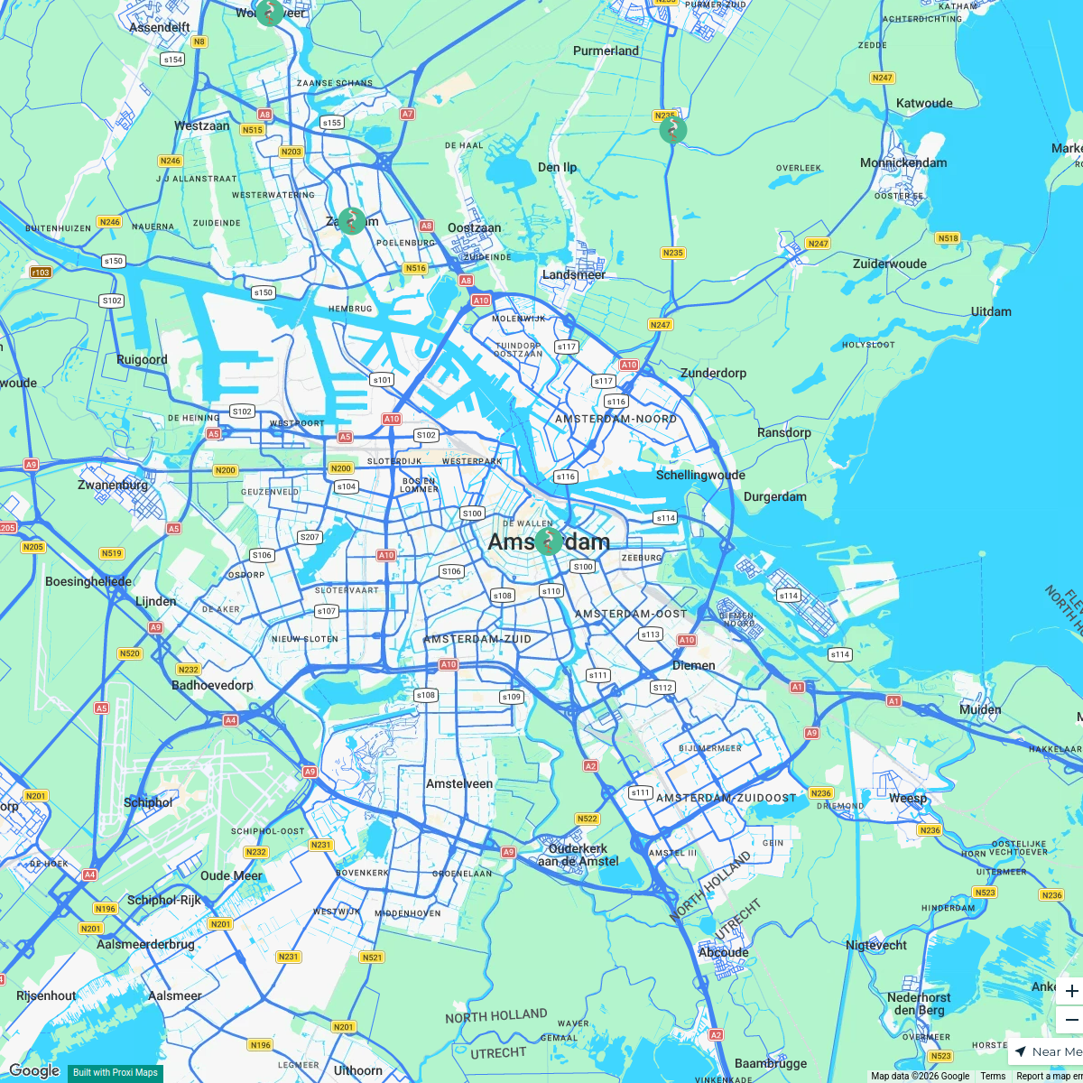
MSD Haarlem worldmap
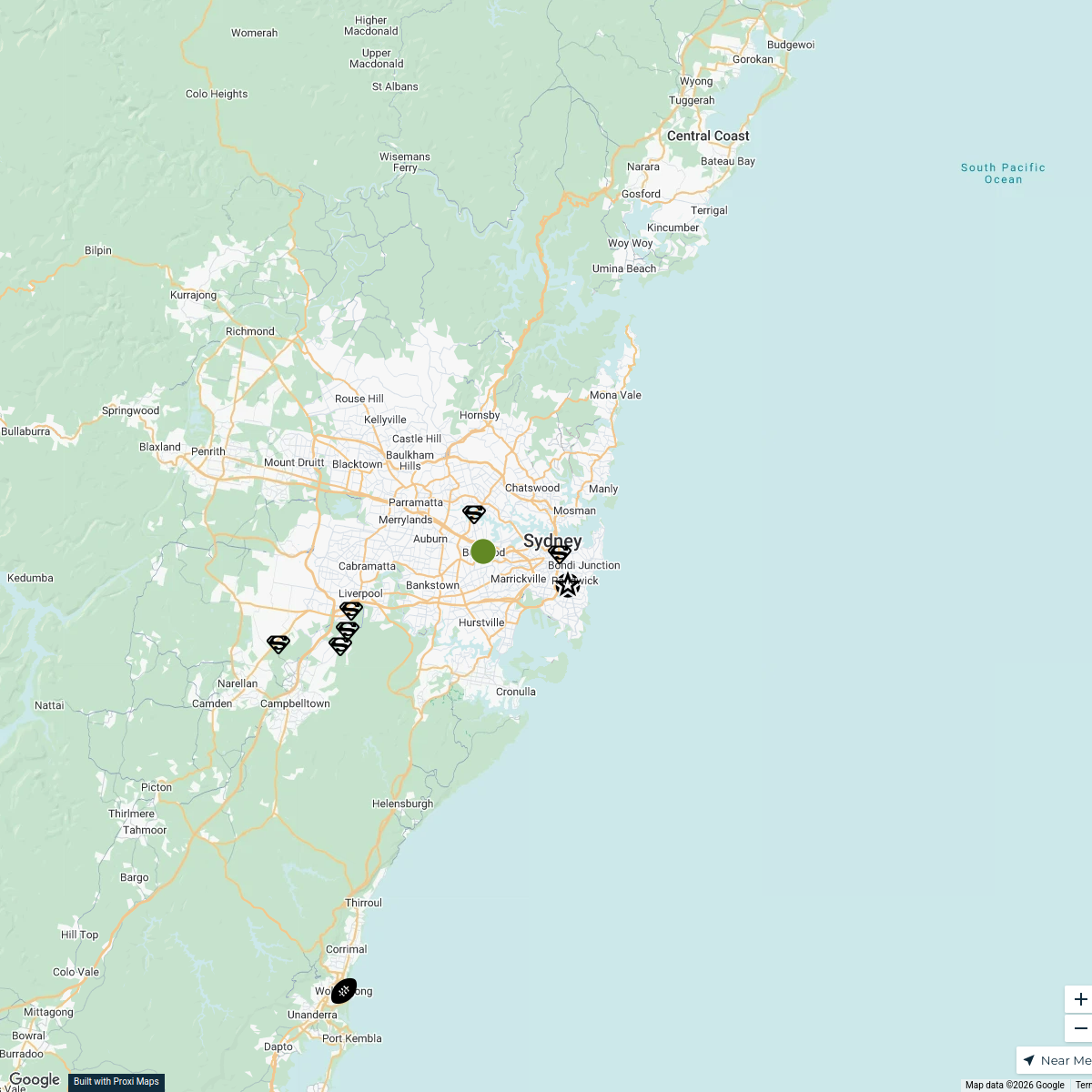
108 stops · Amsterdam, Netherlandswilmar.tigchelaar's WorkspaceSydney Explorer
127 stops · Sydney NSW, Australiabhidetejas03's Workspace

This map was made with Proxi
Have a main street, a market, or a story worth walking? Make your own map in a few minutes.