
Map · 5 places · Mocksville, NC
Historical Land Acquisition of John McGuire (1762)
This map outlines the 440 acres of land bought by John McGuire on June 29, 1762, from James Jones, located at the junction of the Forks of Yadkin River and Rocky Creek. The historic McGuire-Setzer House in Mocksville, North Carolina, is also included as part of this property. This map aims to provide a visual representation of the land's boundaries and relevant historical context.
Made with ProxiUpdated May 2025
- Yadkin River 3
- Rocky Creek 2
Places on This Map
5 places · 2 groupsNearby Maps
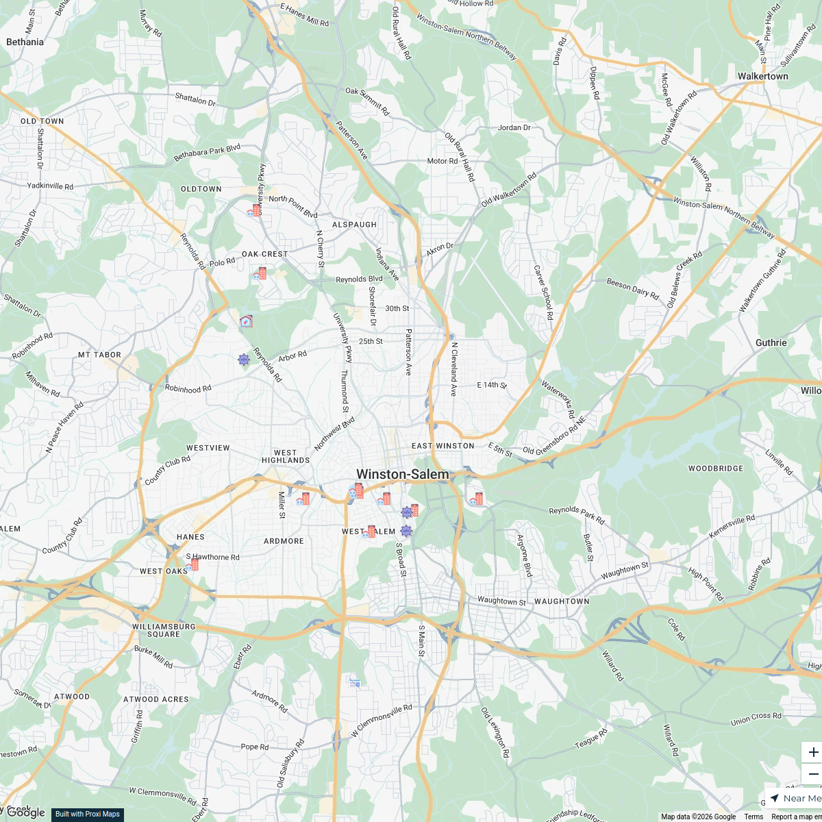
Winston-Salem Yard Sales
15 stops · Winston-Salem, NC, USA y
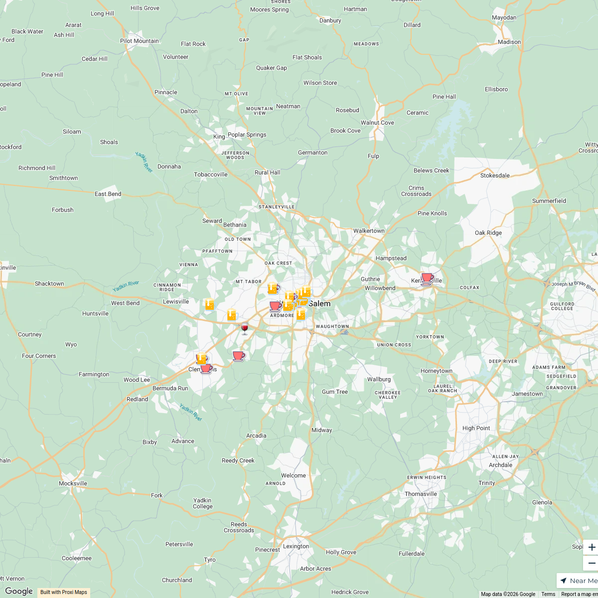
Sip for Paws 2024
32 stops · Winston-Salem, NC, USA FHS Workspace
Investment Map of Winston-Salem
21 stops heather's Workspace
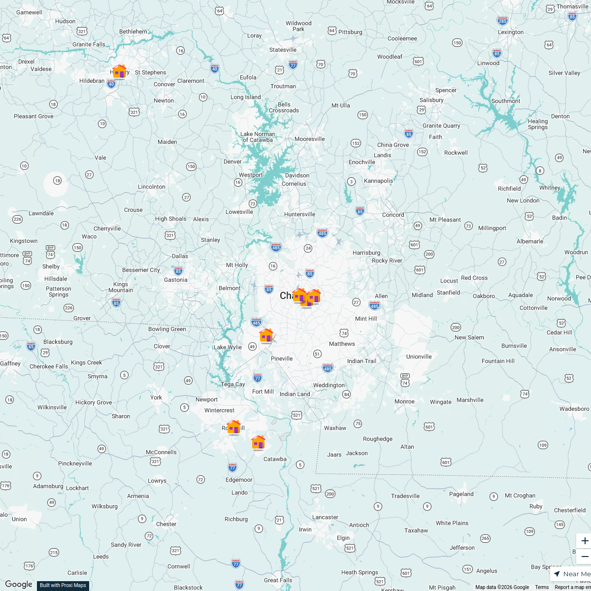
Orbis GIS Day 2024 - Charlotte, NC
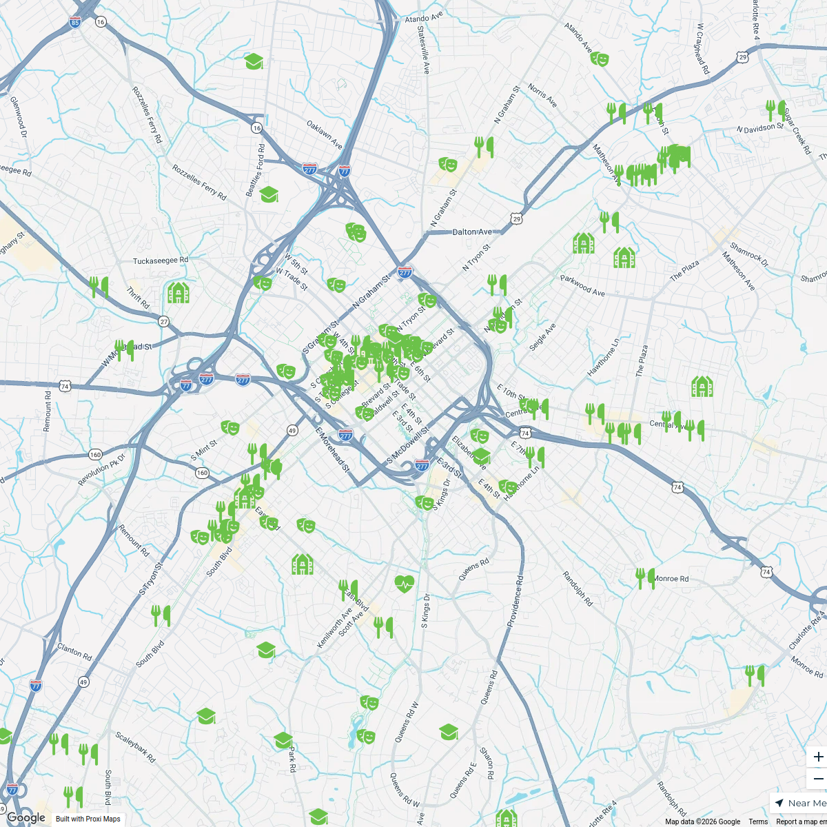
23 stops · Charlotte, NC, USAakearse's WorkspaceCharlotte, NC - Livability.com
199 stops Livability
Timber Frame Companies in North Carolina
150 stopsgwalker's Workspace

This map was made with Proxi
Have a main street, a market, or a story worth walking? Make your own map in a few minutes.