
Map · 19 places · Victoria, British Columbia
Childcare Map of Victoria, BC
A comprehensive map showcasing various childcare facilities throughout Victoria, BC. This map features daycares, preschools, and other early childhood education centers to assist parents and guardians in finding suitable childcare options in the area.
Made with ProxiUpdated May 2025
- Daycare Centers 7
- Community Centers 4
- Educational Programs 3
- Preschools 3
- After-School Programs 1
- Childcare Resources 1
Places on This Map
19 places · 6 groupsNearby Maps

3 Days in Victoria, Canada
34 stops · Victoria, BC, Canada KT's Workspace
Greater Victoria Christmas Lights
257 stops · Cordova Bay Elementary, Cordova Bay Road, Victoria, BC, Canada Times Colonist Maps
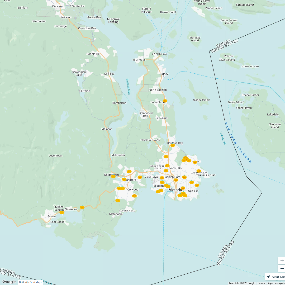
Vancouver Island Halloween 2025
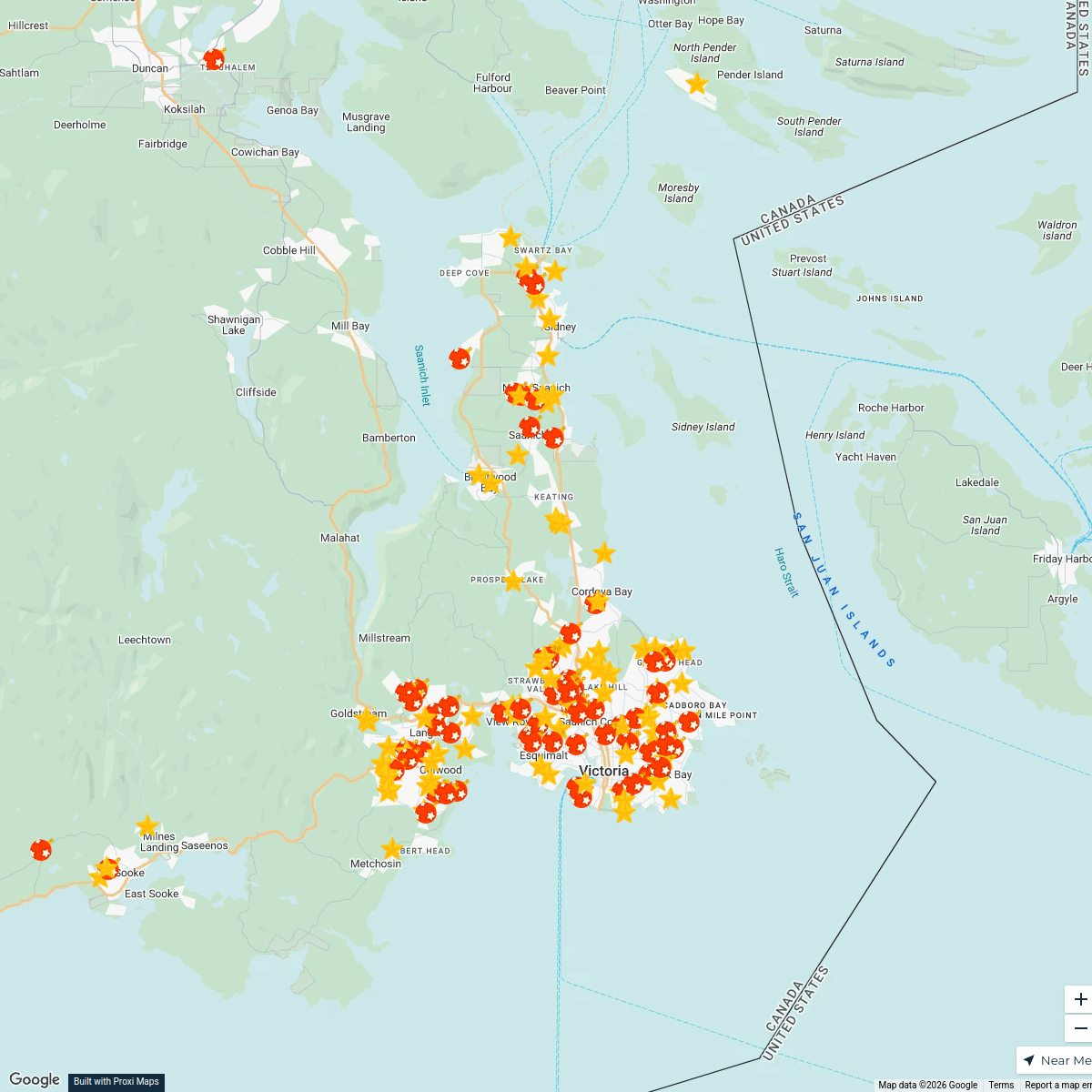
48 stopsTimes Colonist MapsVancouver Island Christmas Lights
179 stopsTimes Colonist MapsCobble Hill Neighborhood Explorer
9 stops · Cobble Hill, BC, Canada Cobble Hill Community
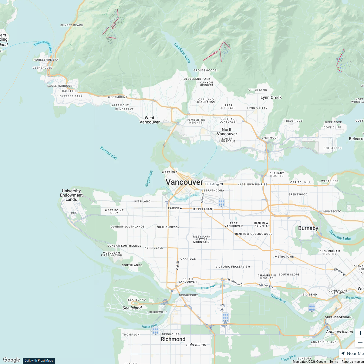
Winter Sports in Vancouver
25 stops · Vancouver, BC, Canadajeremypoty's Workspace


This map was made with Proxi
Have a main street, a market, or a story worth walking? Make your own map in a few minutes.