
Map · 20 places · San Francisco, CA
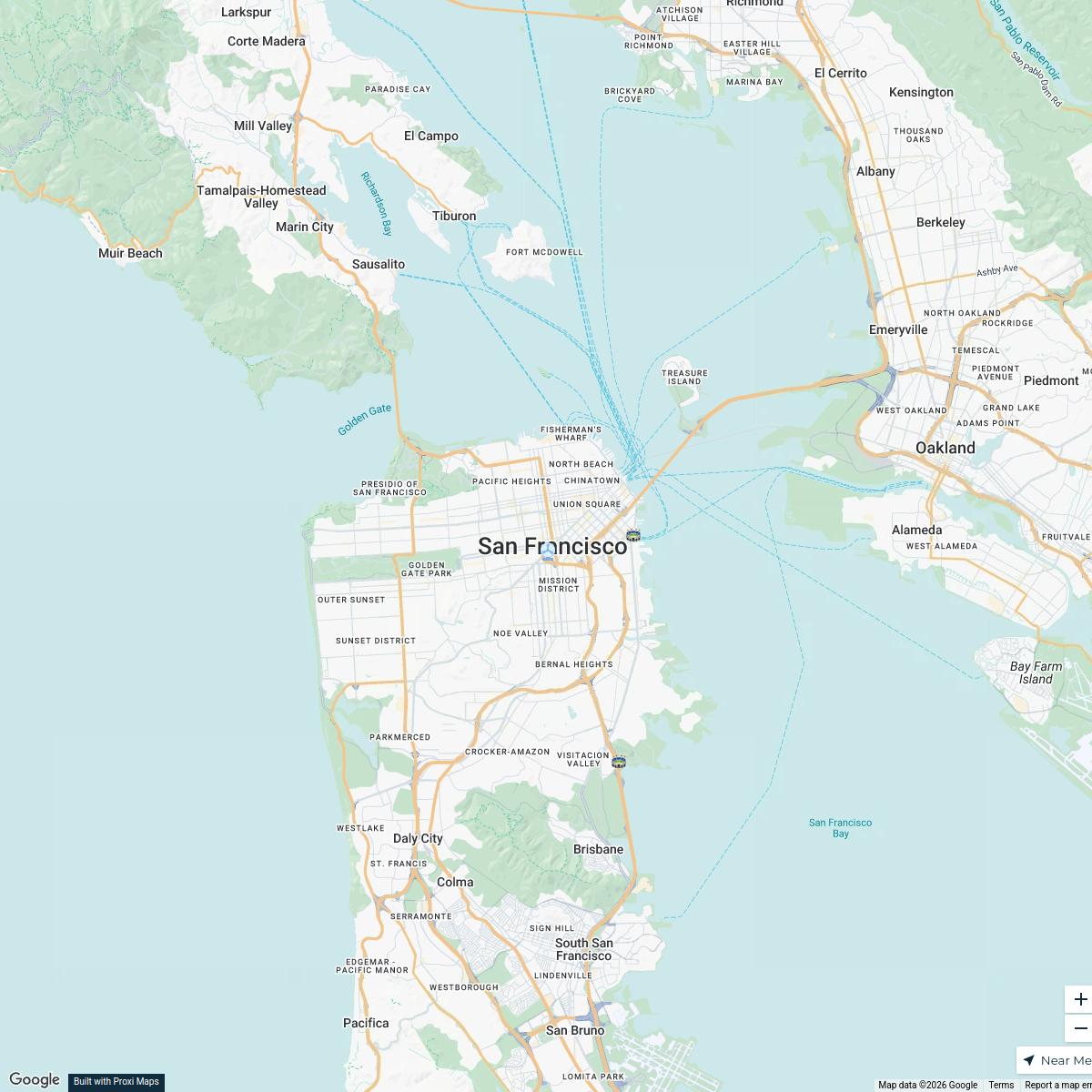
San Francisco Muni Routes Map
A detailed map showcasing the routes and stops of the San Francisco Municipal Transportation Agency (Muni), including buses, light rail, and cable cars throughout San Francisco.
Made with ProxiUpdated May 2025
- Public Transport 9
- Accessibility 4
- Local Landmarks 4
- Transportation 3
Places on This Map
20 places · 4 groupsNearby Maps
Steele San Fran 2026
16 stops · San Francisco, CA, USA humboldt 2026
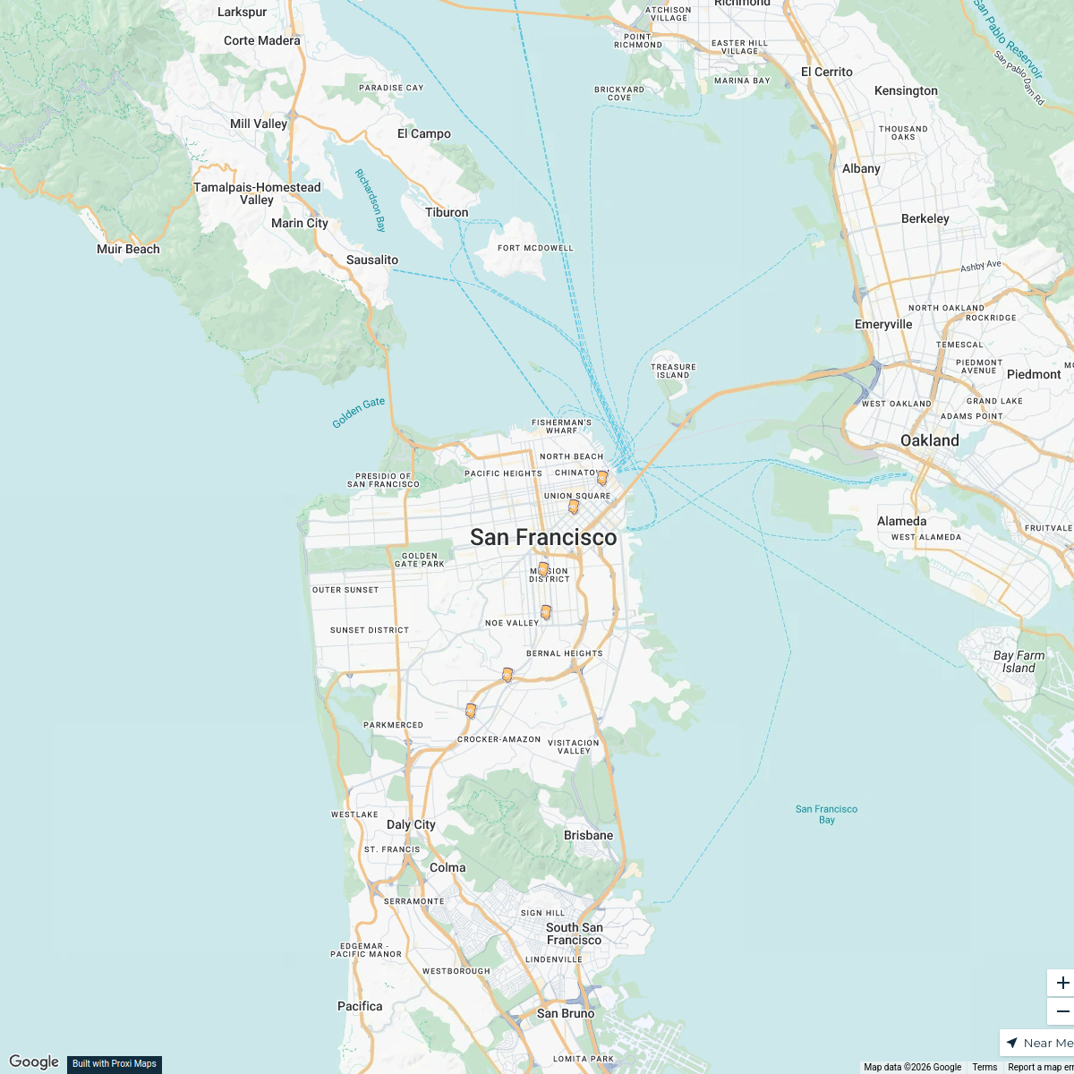
San Francisco Baseball Landmarks
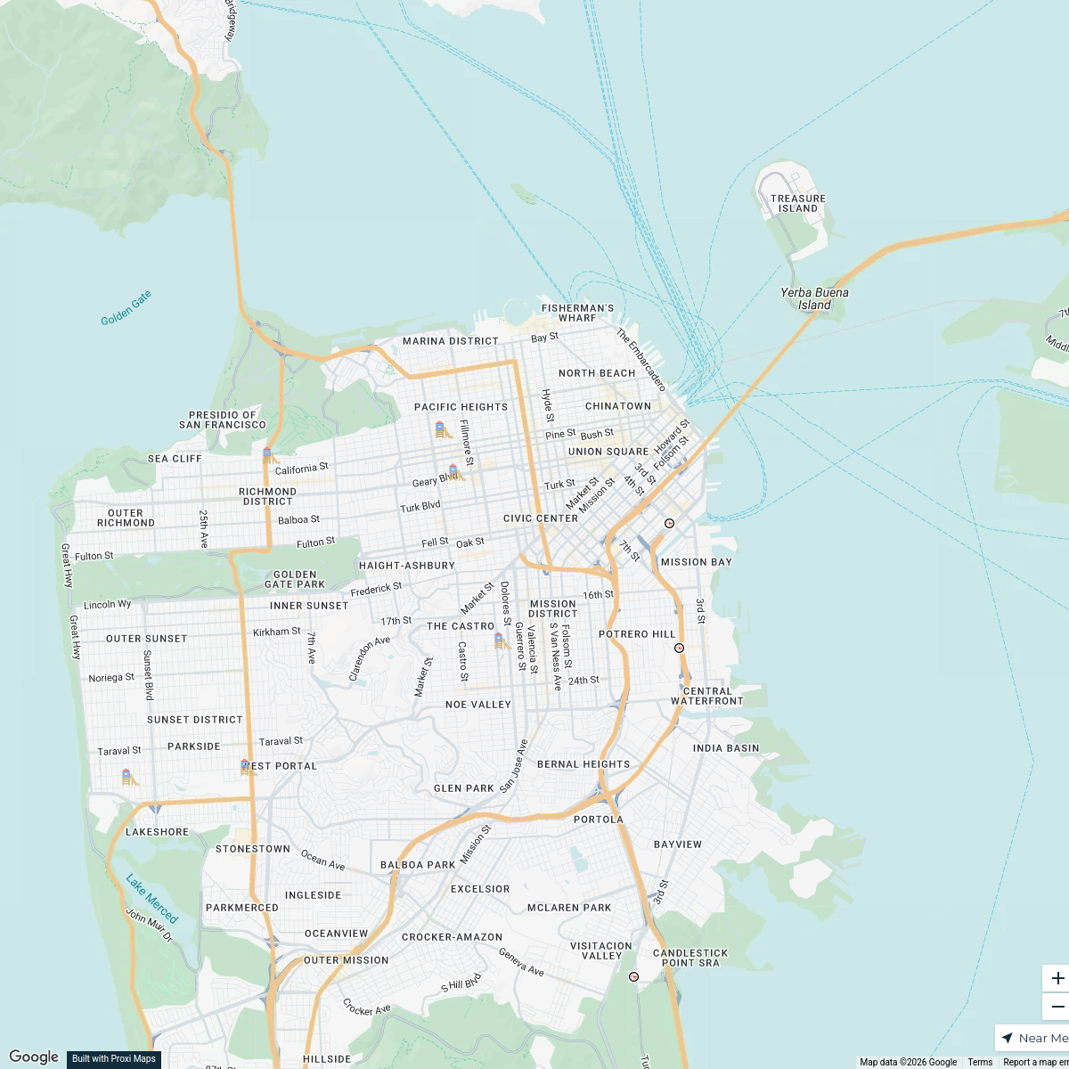
5 stops · San Francisco, CA, USAColton Parenti's WorkspaceSan Francisco Playgrounds
7 stops · San Francisco, CA, USAjvi2025's WorkspaceBART Stations in San Francisco
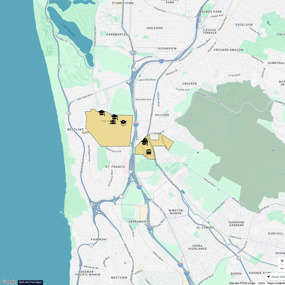
6 stops · San Francisco, CA, USAMatvey Kalachev's WorkspaceBroadmoor Residential Neighborhood Map
7 stops rrouse's Workspace
Proud to be pet inclusive!
8 stops brian's Workspace

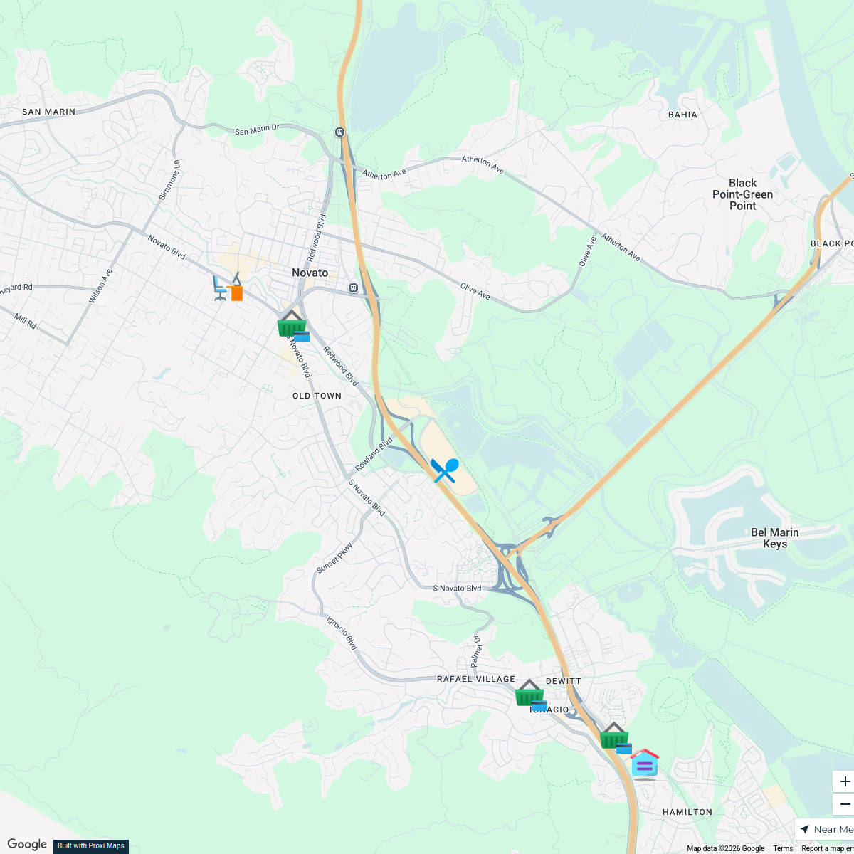
This map was made with Proxi
Have a main street, a market, or a story worth walking? Make your own map in a few minutes.