
Map · 14 places
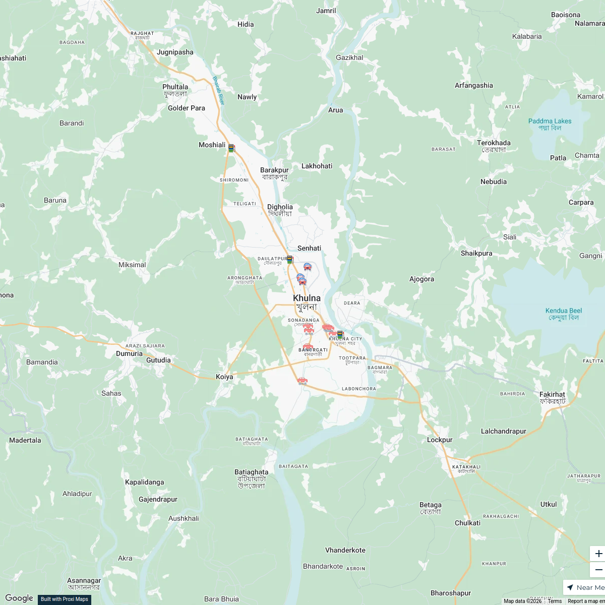
Khulna Official Map
A detailed map of Khulna, Bangladesh for official purposes, highlighting key administrative areas, institutions, and points of interest within the city and surrounding region.
Made with ProxiUpdated May 2025
- Commercial Areas 3
- Educational Institutions 3
- post offices 3
- Government Offices 2
- Healthcare Facilities 1
- Public Transport 1
- Tourist Attractions 1
Places on This Map
14 places · 7 groupsNearby Maps
Khulna Car Servicing Garages
18 stops · Khulna, Bangladesh fatimascientist85's Workspace
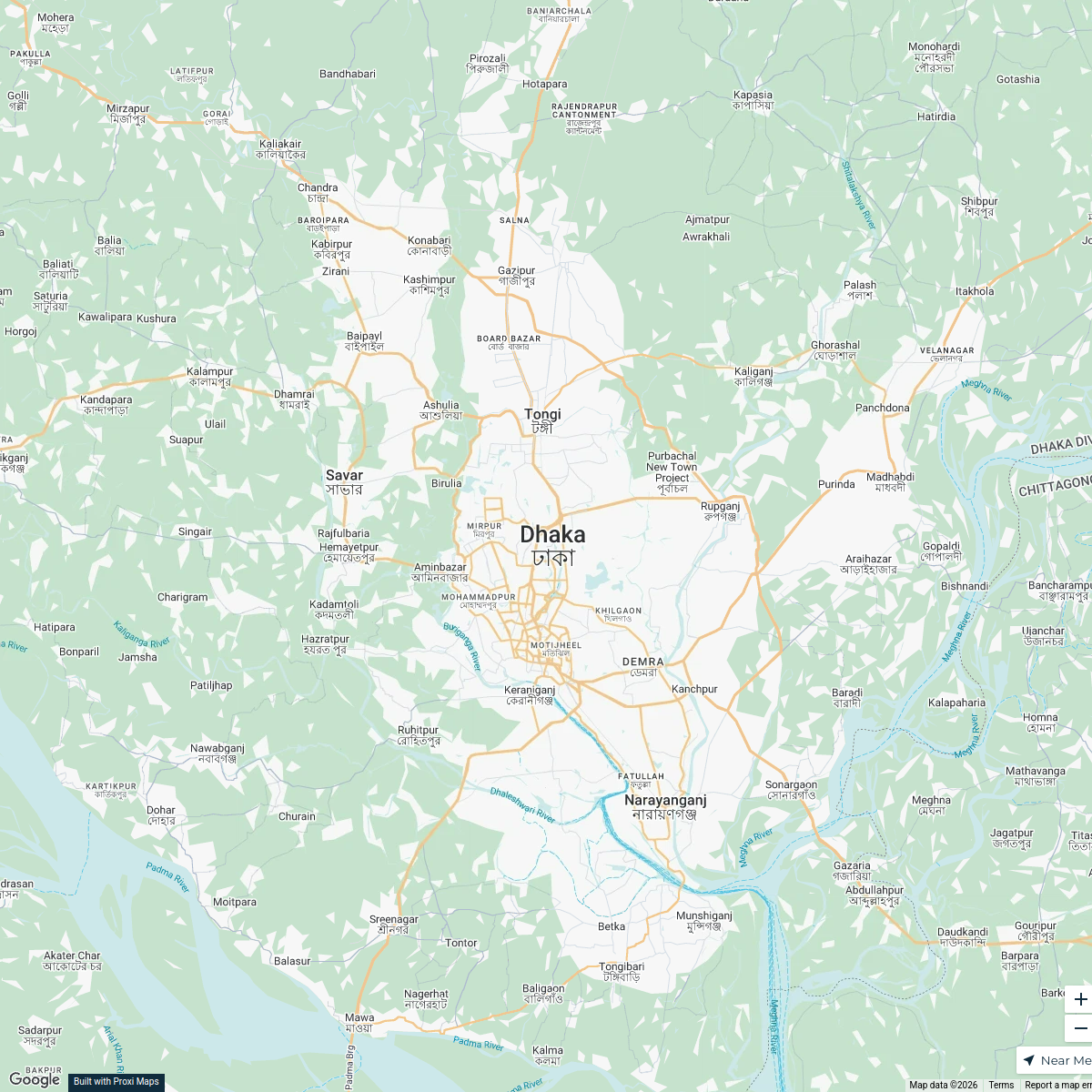
Regional Map of Bangladesh
5 stops · Dhaka, BangladeshAsif Tonmoy's WorkspaceCommunity Resources & Support
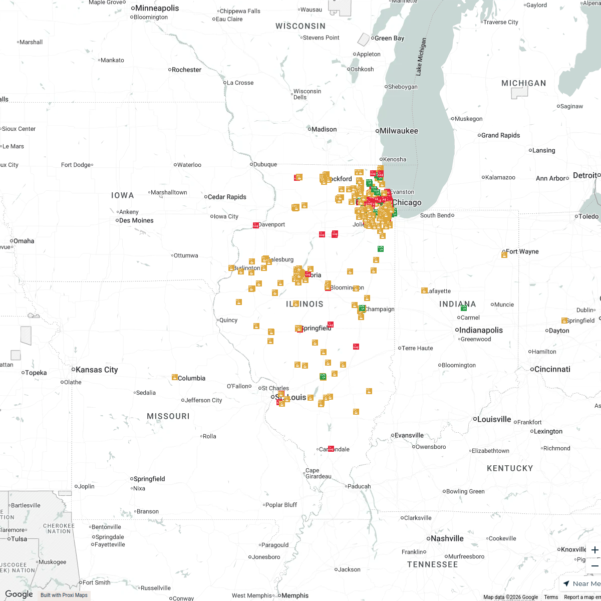
543 stops Macaila's Workspace
Community Map
Khulna District Map
16 stops · Khulna, BangladeshShared by the Proxi communityCommunity Map
Khulna Insight Map
17 stops · Khulna, BangladeshShared by the Proxi communityCommunity Map
Khulna Exploration Map
1 stop · Khulna, BangladeshShared by the Proxi community
This map was made with Proxi
Have a main street, a market, or a story worth walking? Make your own map in a few minutes.