
Map · 10 places
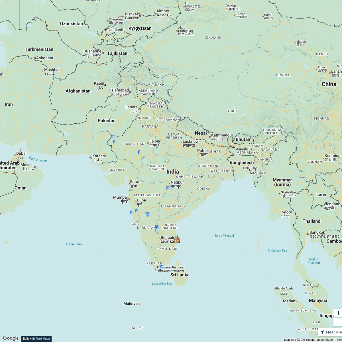
Partition of India and Pakistan
A detailed map illustrating the historical partition of India and Pakistan in 1947, focusing on significant regions, borders, and events surrounding the division of British India into two independent countries.
Made with ProxiUpdated May 2025
- Geopolitical Changes 7
- Migration Routes 2
- disputed territory 1
Places on This Map
10 places · 3 groupsNearby Maps
- 37 stops
 Subrat Ray's Workspace
 ✨ World Changers Directory 🌎
51 stops World Changer's Workspace
Our Participants
116 stops Future Scholar Foundation's Workspace
Member Directory Map
465 stops rlane's Workspace
Worldwide Travel & Projects
46 stopsDesiree Cordova's WorkspaceShelby and Steven's Journey
121 stopsSteven Cosby's Workspace
This map was made with Proxi
Have a main street, a market, or a story worth walking? Make your own map in a few minutes.