
Map · 9 places
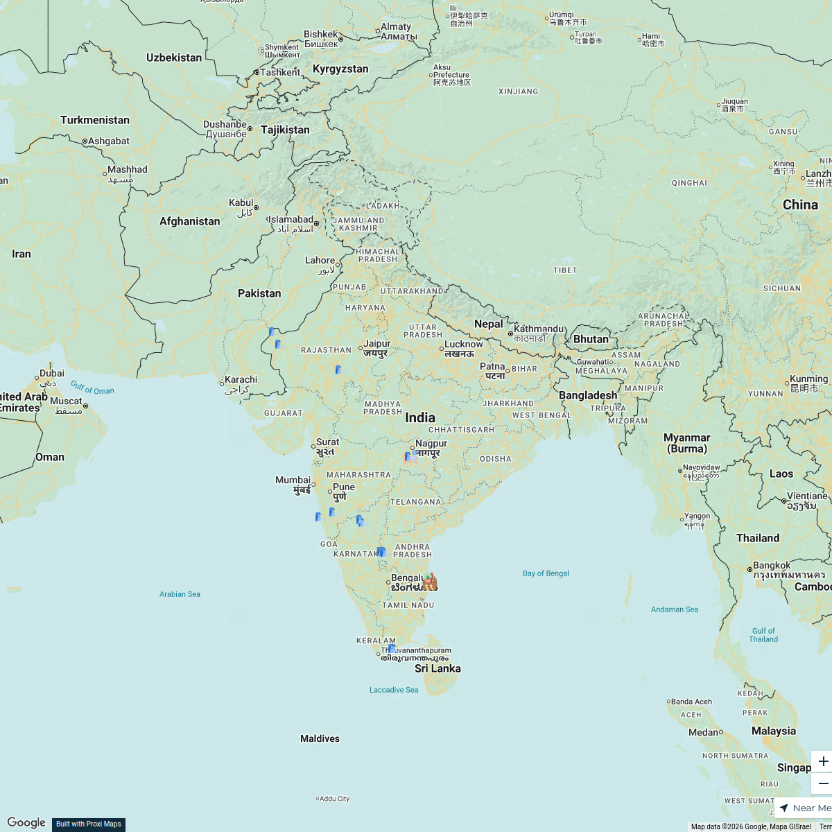
Partition of India HistoricalMap
A detailed map showcasing the India-Pakistan partition of 1947, highlighting key territories, major migration routes, and significant historical sites related to the partition events.
Made with ProxiUpdated May 2025
- Significant Cities 4
- Refugee Camps 3
- Migration Routes 1
- political boundaries 1
Places on This Map
9 places · 4 groupsNearby Maps
- 37 stops
 Subrat Ray's Workspace
 ✨ World Changers Directory 🌎
51 stops World Changer's Workspace
Our Participants
116 stops Future Scholar Foundation's Workspace
Member Directory Map
465 stops rlane's Workspace
Worldwide Travel & Projects
46 stopsDesiree Cordova's WorkspaceShelby and Steven's Journey
121 stopsSteven Cosby's Workspace
This map was made with Proxi
Have a main street, a market, or a story worth walking? Make your own map in a few minutes.