
Map · 16 places
Boondall Public Transport Map
A detailed map showcasing public transport options in and around Boondall, highlighting bus routes, train stations, and accessibility features for residents and visitors.
Made with ProxiUpdated May 2025
- Bus Stops 7
- Bike Paths 3
- Train Stations 3
- Parking Facilities 2
- Transport Hubs 1
Places on This Map
16 places · 5 groupsNearby Maps
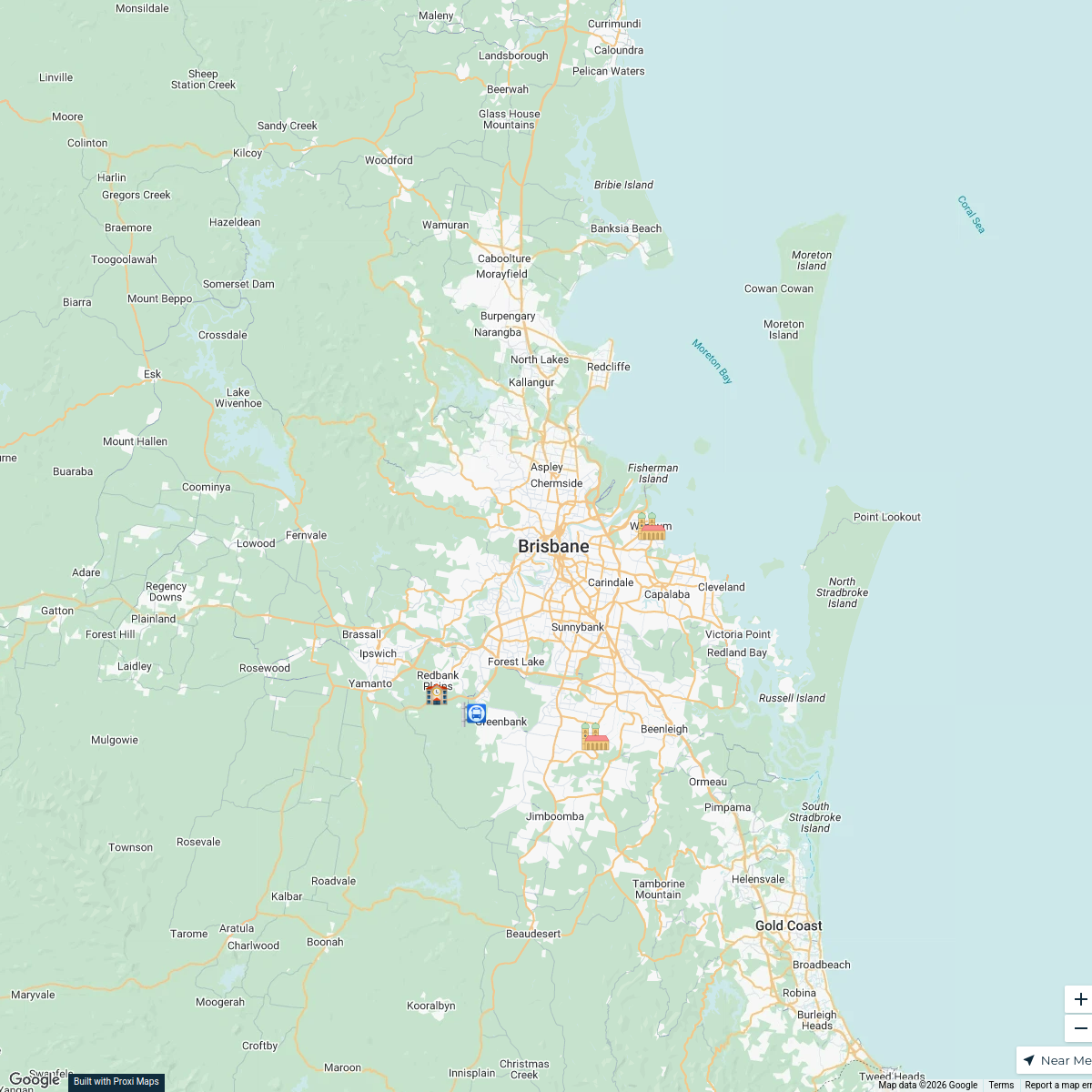
daily route (mostly)
5 stops · Brisbane QLD, Australia Vance Brownlie's Workspace
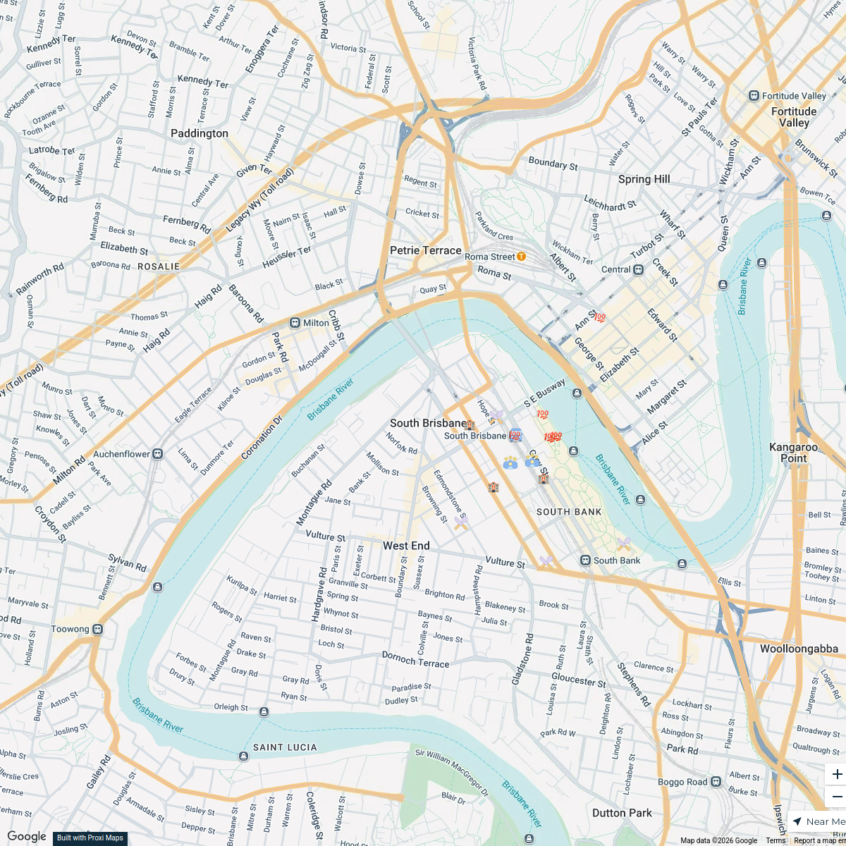
South Brisbane Conference Attendees Map
17 stops · South Brisbane, South Brisbane QLD, Australia Steve P's Workspace
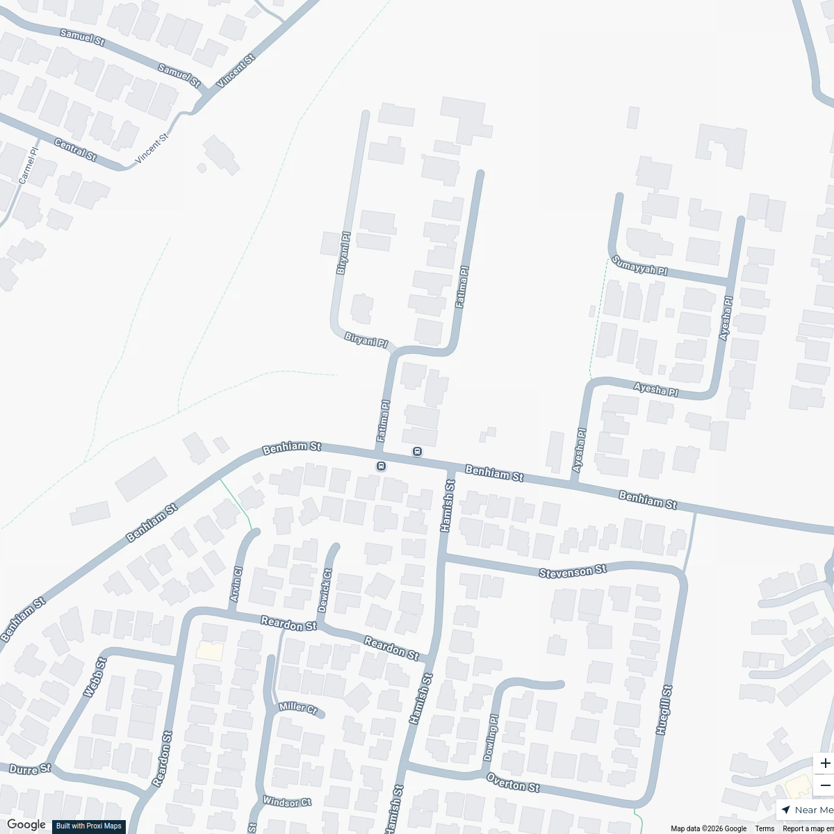
Calamvale Halloween Map
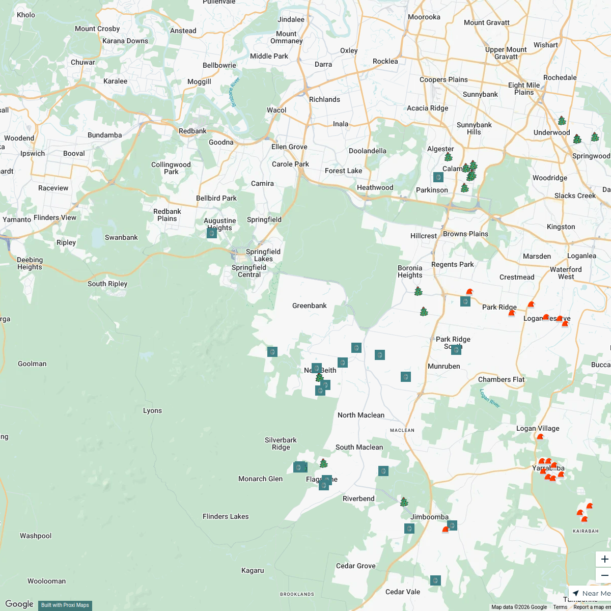
8 stops · 3 Fatima Place, Calamvale QLD, AustraliaMandeep Chahal's WorkspaceLights & Smiles Map
68 stops · Greenbank, Greenbank QLD 4124, Australia Anna Dunsdon's Workspace
Information Integrity Network
46 stopsUNIC Mapping's WorkspaceHairy Pony Australia
166 stopshello's Workspace
This map was made with Proxi
Have a main street, a market, or a story worth walking? Make your own map in a few minutes.