
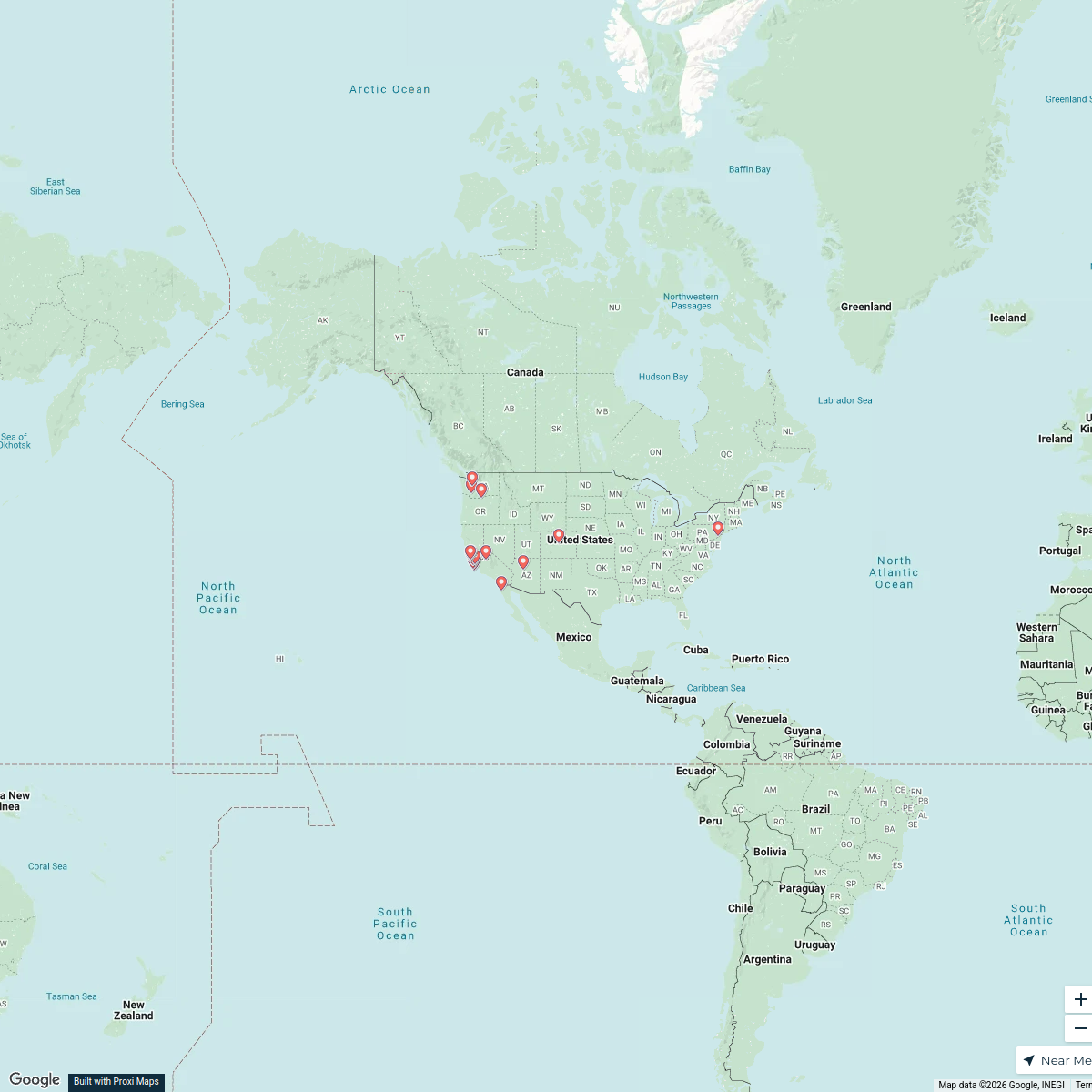
Map · 14 places
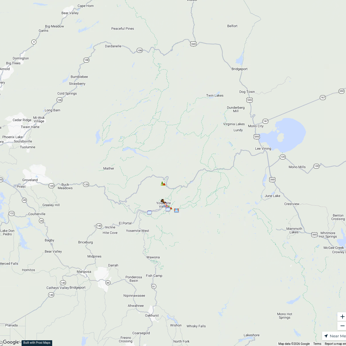
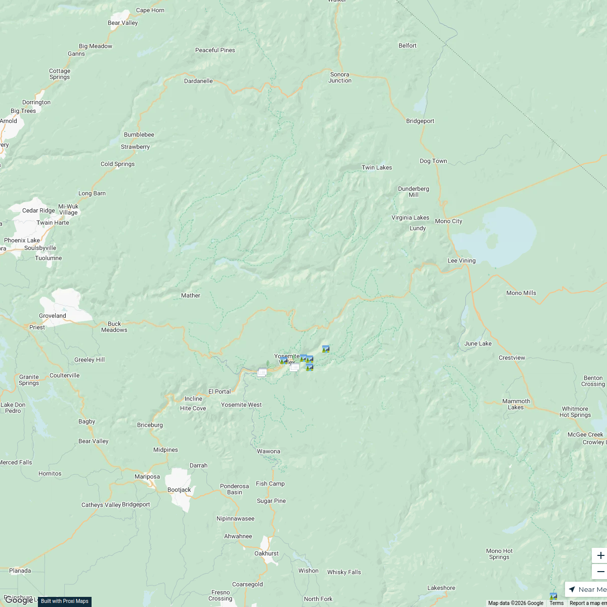
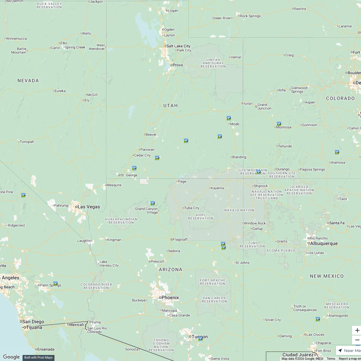
California Federal Public Lands Map
A comprehensive map highlighting all federal public lands across the state of California, including national parks, forests, monuments, and wildlife refuges. This map serves as a resource for outdoor enthusiasts, hikers, and anyone interested in exploring California's natural beauty and federal land management.
Made with ProxiUpdated May 2025
- Monuments 3
- National Forests 3
- National Parks 3
- Wildlife Refuges 3
- Bureau of Land Management Lands 2
Places on This Map
14 places · 5 groupsNearby Maps
Waterfall Trail Map of Yosemite National Park
8 stops · Yosemite National Park, California, USA َ's Workspace
Yosemite National Park: Jingles and Joy
42 stops · Yosemite National Park, California, USA doublecrossed74's Workspace
East To West Road Trip through National Parks of The United States
25 stopsAndrei Banari's WorkspaceUnited States RV Road Atlas
20 stops · United States, Stati Unitiinfoper6's WorkspaceAdaptive Engineering (Lifts Sold)
765 stops · Calgary, AB, Canada graham.smith's Workspace
After tapping CLICK TO INTERACT ...
4359 stopsBucketlist Navigator

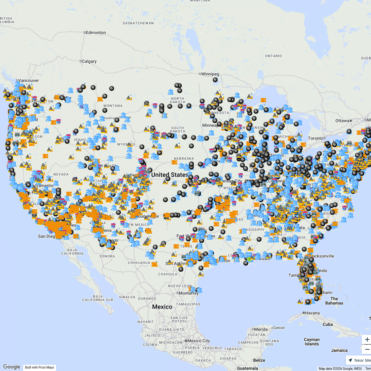
This map was made with Proxi
Have a main street, a market, or a story worth walking? Make your own map in a few minutes.