
Map · 5 places · Murfreesboro, TN
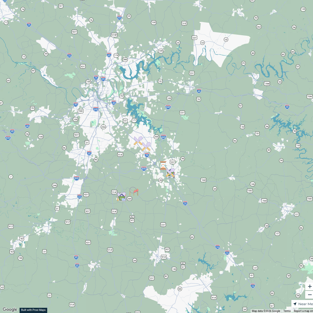
Murfreesboro Transportation and Industrial Map
This map highlights the industrial center of Middle Tennessee, focusing on major highways and key roadways in the Murfreesboro area. Key routes such as I-24, I-840, and I-65 are prominently displayed, along with Joe B. Jackson Parkway and US-41, providing a comprehensive view of the transportation infrastructure in the region.
Made with ProxiUpdated May 2025
- Highways 3
- Transportation Routes 2
Places on This Map
5 places · 2 groupsNearby Maps
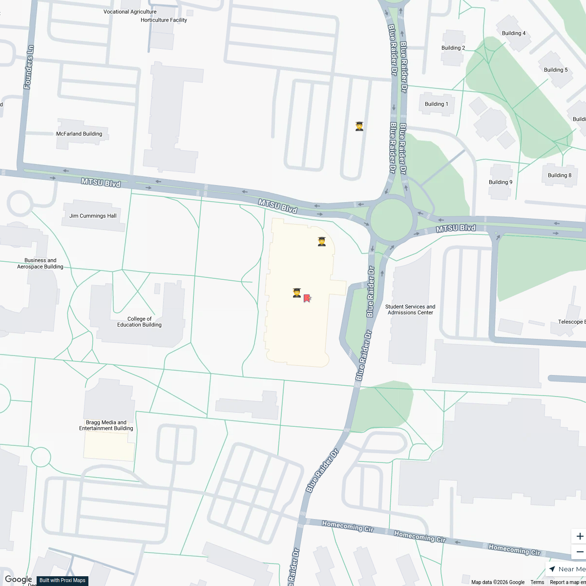
MTSU Dining & Restaurants
16 stops · MTSU Student Union Building, 1768 MTSU Blvd, Murfreesboro, TN 37130, USA GManM1 30-06's Workspace
Tennessee County Fairs
57 stops Farm Flavor
XPLR NASH - Rutherford County Day Trip
10 stops XPLR.NASH
Tennessee Cities on Livability.com
115 stops Livability
Tennessee Farm Stays
12 stopsFarm FlavorTennessee Ice Cream Trail
28 stopsFarm Flavor
This map was made with Proxi
Have a main street, a market, or a story worth walking? Make your own map in a few minutes.