
Map · 20 places
Oregon City Limits and I-5 Proximity
This map displays the 20 largest cities in Oregon, USA, highlighting their distance from city limits to Interstate 5 (I-5). The focus is on urban accessibility along Oregon's main transportation corridor.
Made with ProxiUpdated May 2025
- Urban Population 20
Places on This Map
20 places · 1 groupNearby Maps
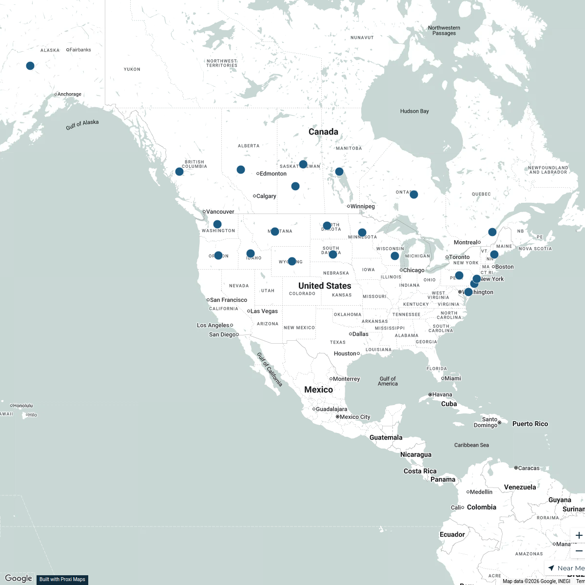
Customer Distribution Map - USA
22 stops · USA, United States aron's Workspace
North America Client Map
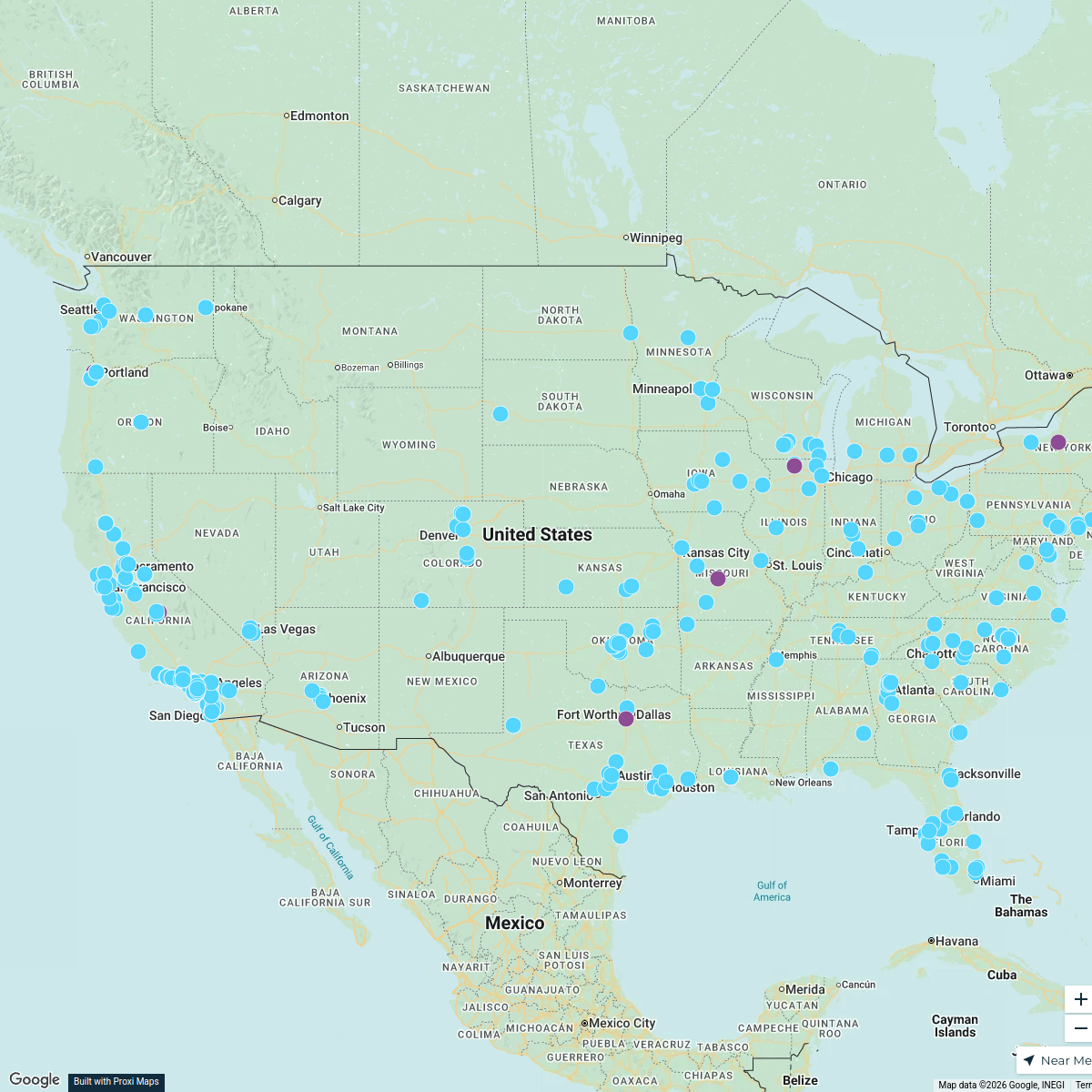
30 stops · North AmericaMaria Paz Orellana Jara's WorkspacePhysician-led Direct Primary Care & Direct Care Clinics
387 stops My DPC Story (My DPC Story)'s Workspace
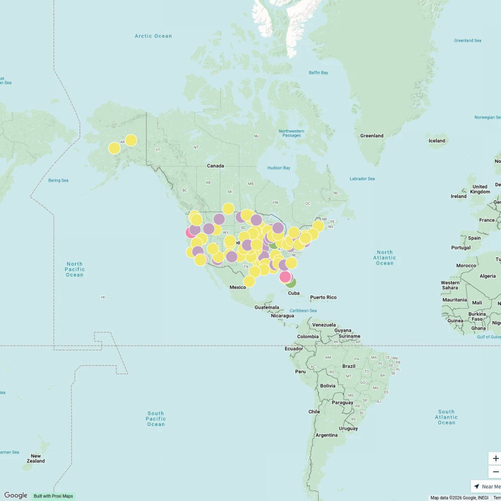
I've Been Everywhere Song Map
99 stops · United States Mel's Workspace
My Bucket List Map
116 stops · United States KT's Workspace
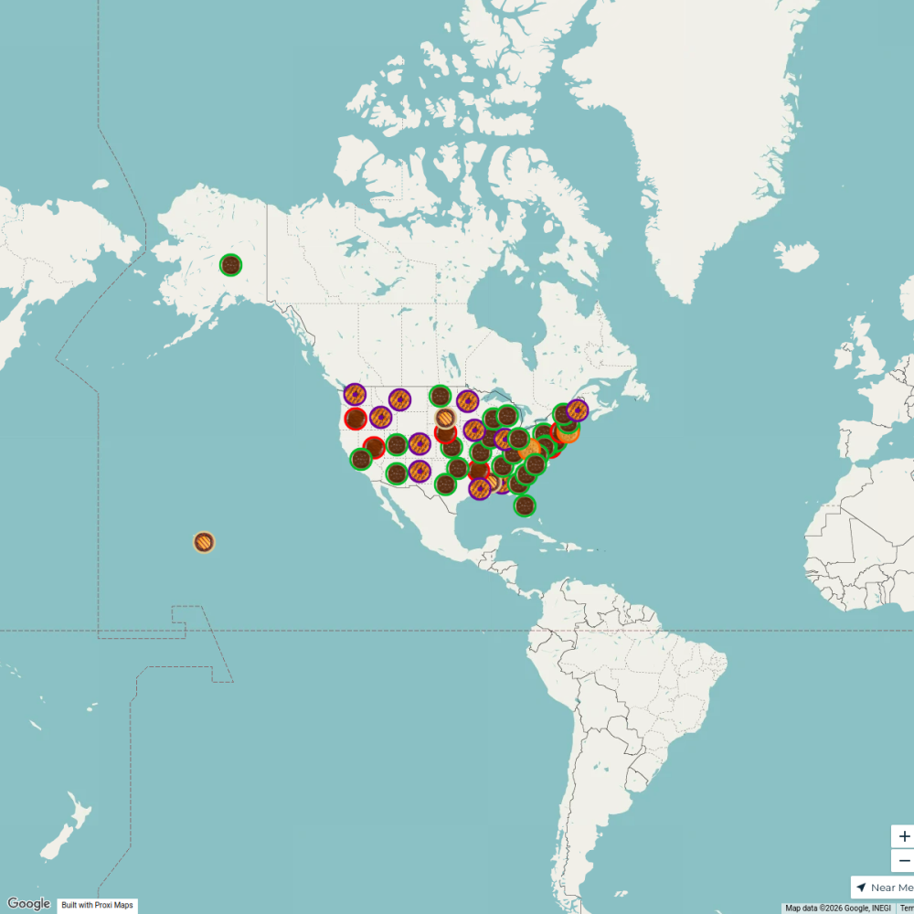
Most Searched Girl Scout Cookies
50 stops · United StatesKT's Workspace


This map was made with Proxi
Have a main street, a market, or a story worth walking? Make your own map in a few minutes.