
Map · 12 places
Transport Nodes and Step Free Routes in Croydon
A detailed map showcasing transport nodes and accessible step-free routes in Croydon, UK, facilitating easier navigation for all users including those with mobility impairments.
Made with ProxiUpdated Apr 2025
- Public Transit 6
- Accessibility Features 2
- Pedestrian Routes 2
- Cycling Paths 1
- Transport Nodes 1
Places on This Map
12 places · 5 groupsNearby Maps
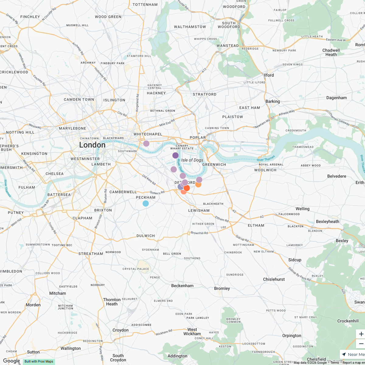
Deptford Attractions Map
15 stops · Deptford, London, UK Seema Manchanda's Workspace
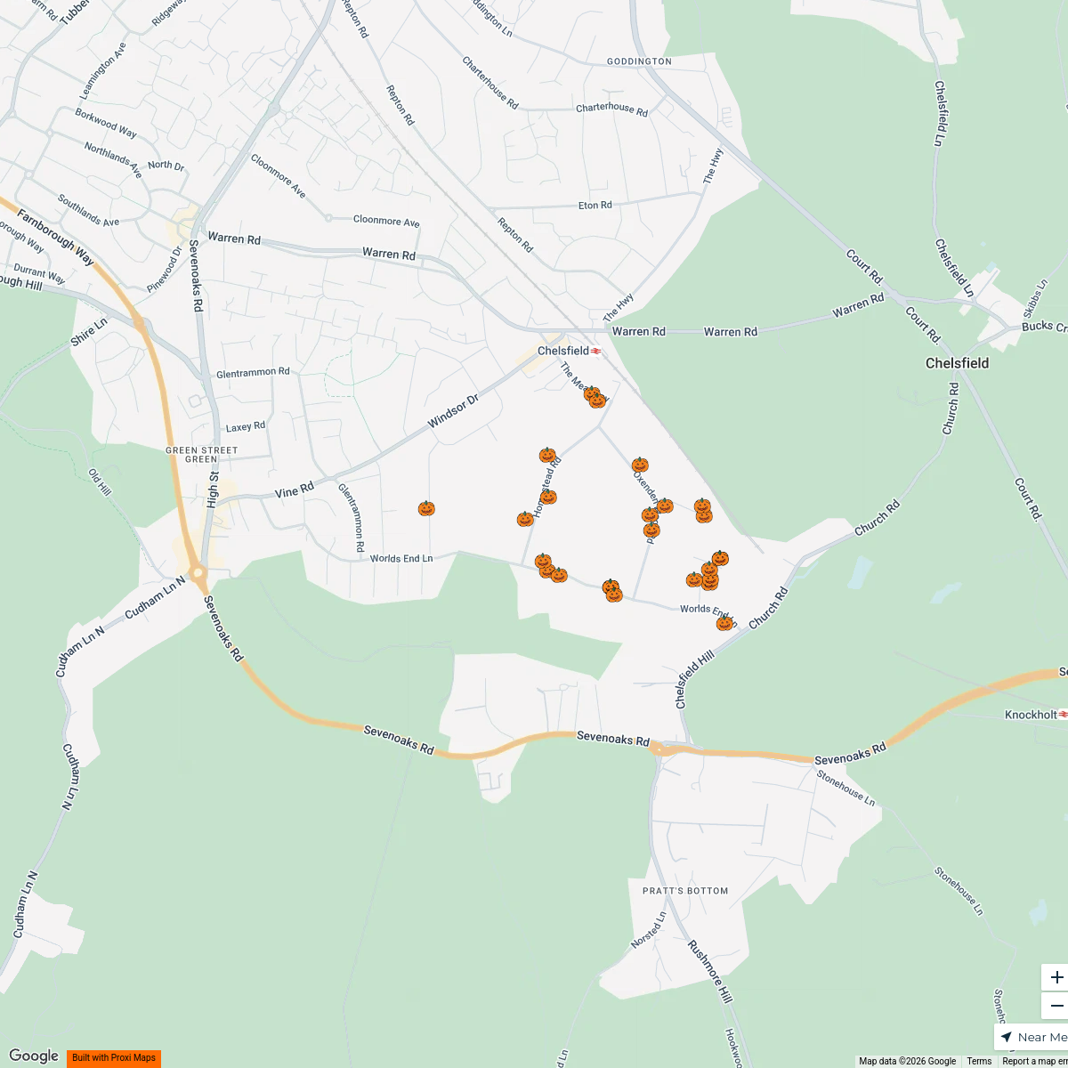
Halloween at Chelsfield Park
30 stops lp's Workspace
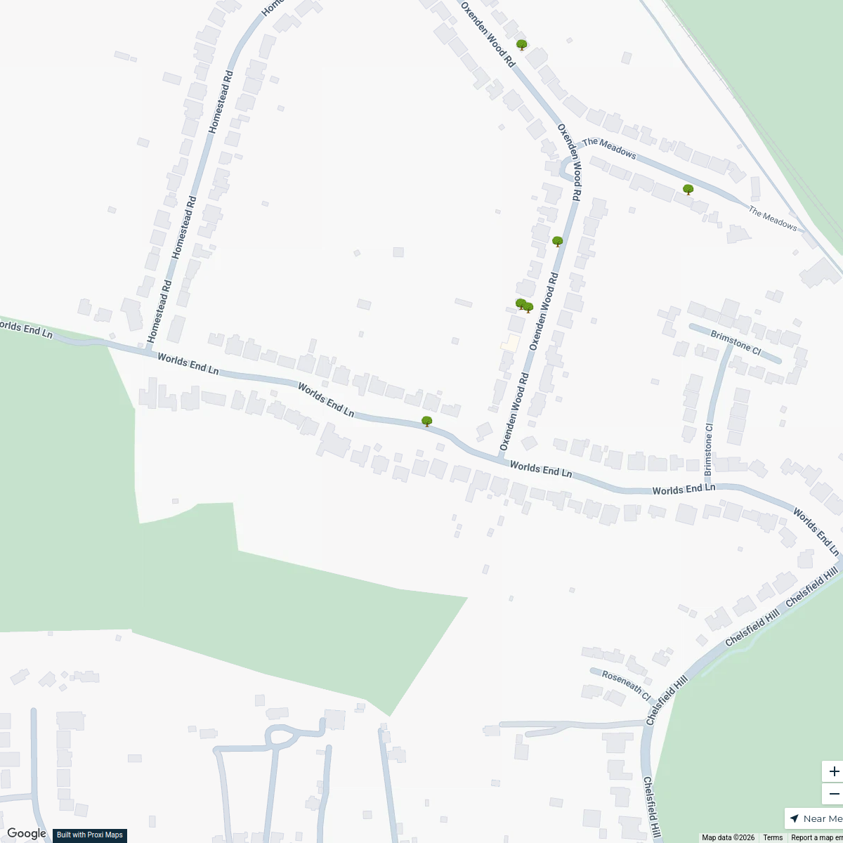
Chelsfield Park Tree Map
8 stops · 154 Worlds End Ln, Orpington BR6 6AS, UKlp's WorkspaceTed Lasso London Filming Locations
42 stops · LondonLondon in Real Life's WorkspaceLondon's Oldest Pubs
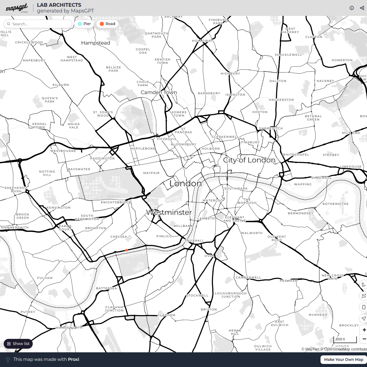
13 stops · London, UKLondon in Real Life's WorkspaceLAB ARCHITECTS
1 stop · London, UK georgie's Workspace

This map was made with Proxi
Have a main street, a market, or a story worth walking? Make your own map in a few minutes.