
Map · 10 places
Connectivity Map of Andhra Pradesh
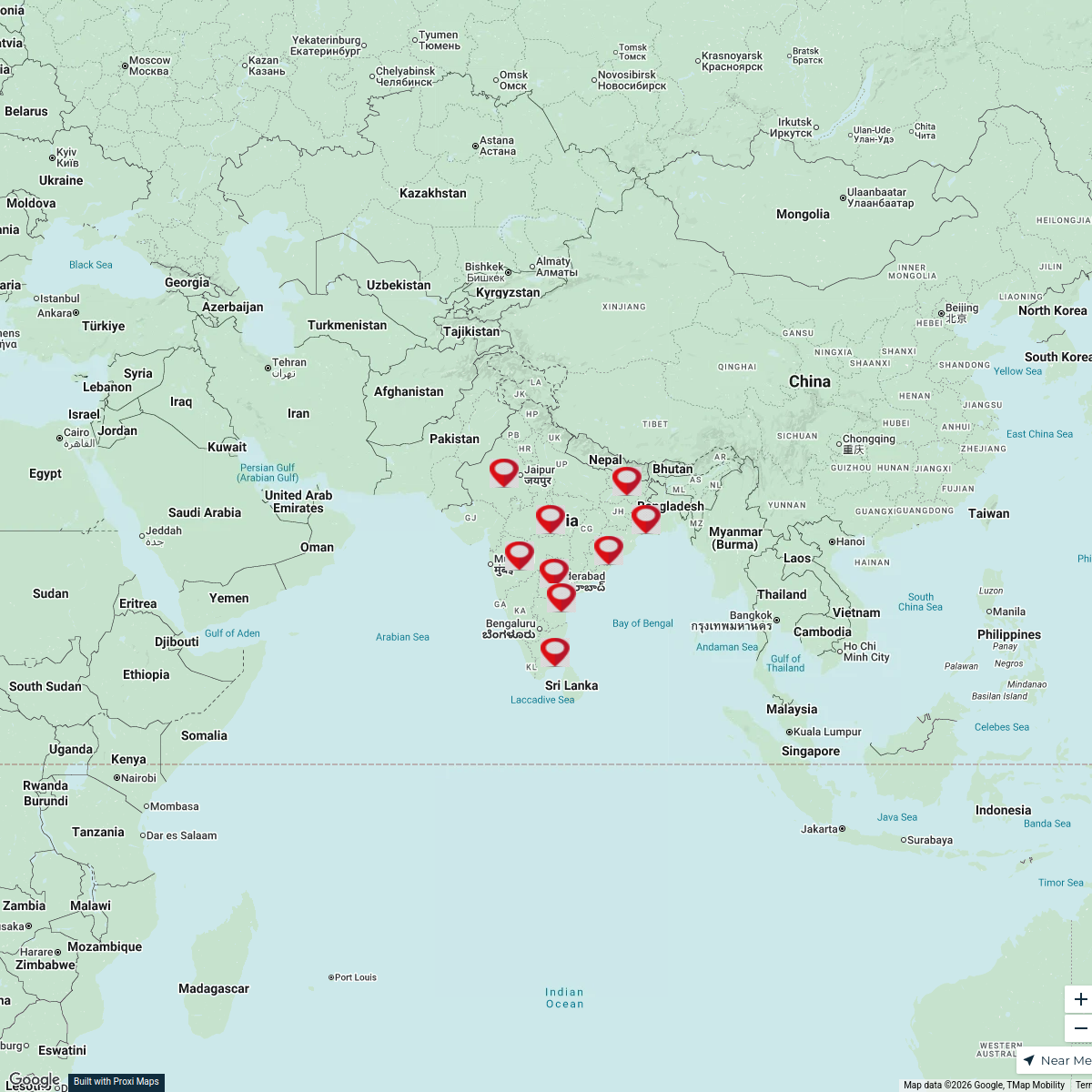
This map showcases the various connectivity points including roads, railways, airports, and waterways across Andhra Pradesh, India. It serves as a resource for understanding the transportation infrastructure in the state, highlighting key routes and transport hubs that facilitate travel and commerce.
Made with ProxiUpdated Apr 2025
- Transportation 3
- administrative boundaries 2
- Airports 2
- Roads 1
- Rural Connectivity 1
- Waterways 1
Places on This Map
10 places · 6 groupsNearby Maps
Dominant Variants in India
1 stop Vedanshee Narshana's Workspace
Historical Arts of India
9 stops · India Ariha Vishant's Workspace
Pin Your Heart
425 stops · Europe Voluson Performance
Community Map
Andhra Pradesh and Telangana Highlights
5 stops · Andhra Pradesh, IndiaShared by the Proxi communityCommunity Map
Guntur Region Map
17 stops · Andhra Pradesh, IndiaShared by the Proxi communityCommunity Map
Regions of Andhra Pradesh
4 stops · Andhra Pradesh, IndiaShared by the Proxi community

This map was made with Proxi
Have a main street, a market, or a story worth walking? Make your own map in a few minutes.