
Map · 18 places
El Dorado County Cities Map
A detailed map highlighting the cities and notable locations within El Dorado County, California. This map provides an overview of urban areas amidst the natural beauty of the Sierra Nevada mountains, showcasing important landmarks, parks, and educational facilities in the region.
Made with ProxiUpdated Apr 2025
- Parks 8
- Historical Sites 6
- Recreational Areas 2
- Cities 1
- Landmarks 1
Places on This Map
18 places · 5 groupsNearby Maps
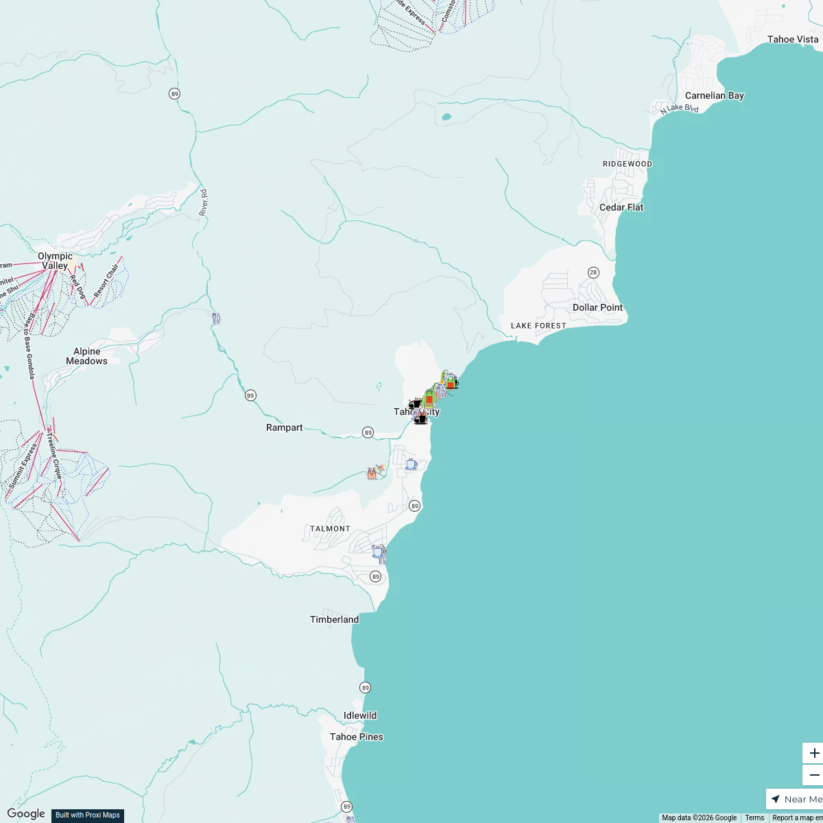
Tahoe City Sip, Shop & Solve 2026
82 stops · Tahoe City, CA, USAVisit Tahoe City
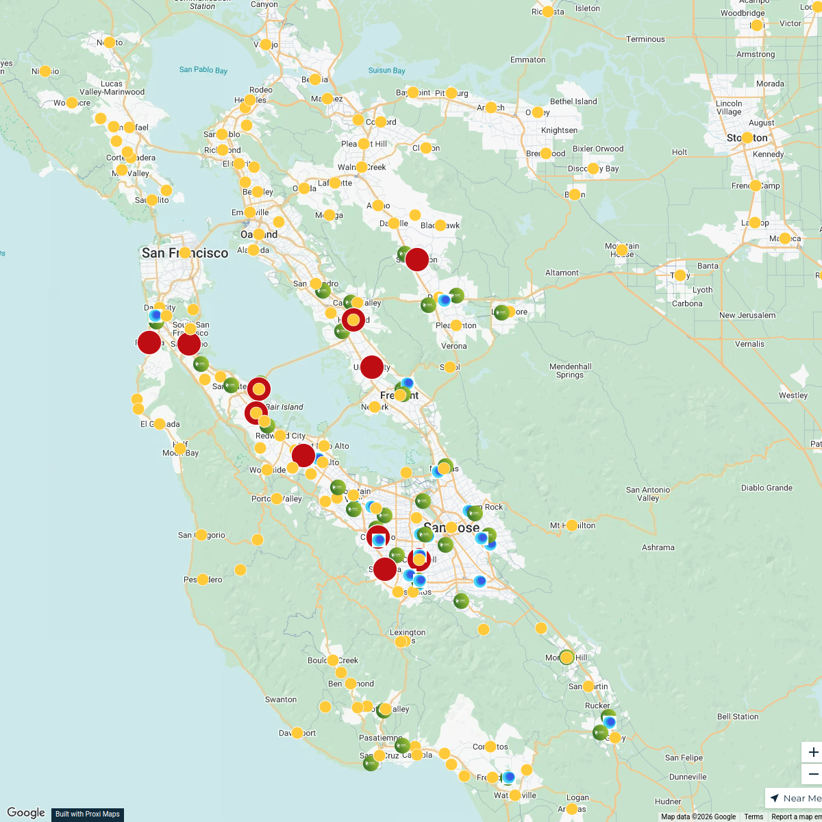
Bay Area Phlebotomy Heat Map
558 stops liz.leroux's Workspace
My Proxi Map
241 stopsBlake Robertson's Workspace2026 California Road Trip
16 stops · California, USA shellymonteith's Workspace
starfish near California
10 stops · California, USA Chelsey's Proxi Workspace
Brian’s Ski Map
20 stops · Denver, CO, USAbeisenbeis's Workspace


This map was made with Proxi
Have a main street, a market, or a story worth walking? Make your own map in a few minutes.