
Map · 15 places
Nuevo Laredo Transportation Hub
A detailed map focusing on the transportation network around the Aduana de Nuevo Laredo and the Puente Internacional Laredo-Colombia Solidaridad, showcasing key routes, checkpoints, and facilities in the area.
Made with ProxiUpdated Apr 2025
- Customs and Border Facilities 7
- Road Networks 3
- Transportation Hubs 3
- Logistics and Freight Services 1
- Public Transport Routes 1
Places on This Map
15 places · 5 groupsNearby Maps
 ★ Staff Pick
Texas Farmers Markets
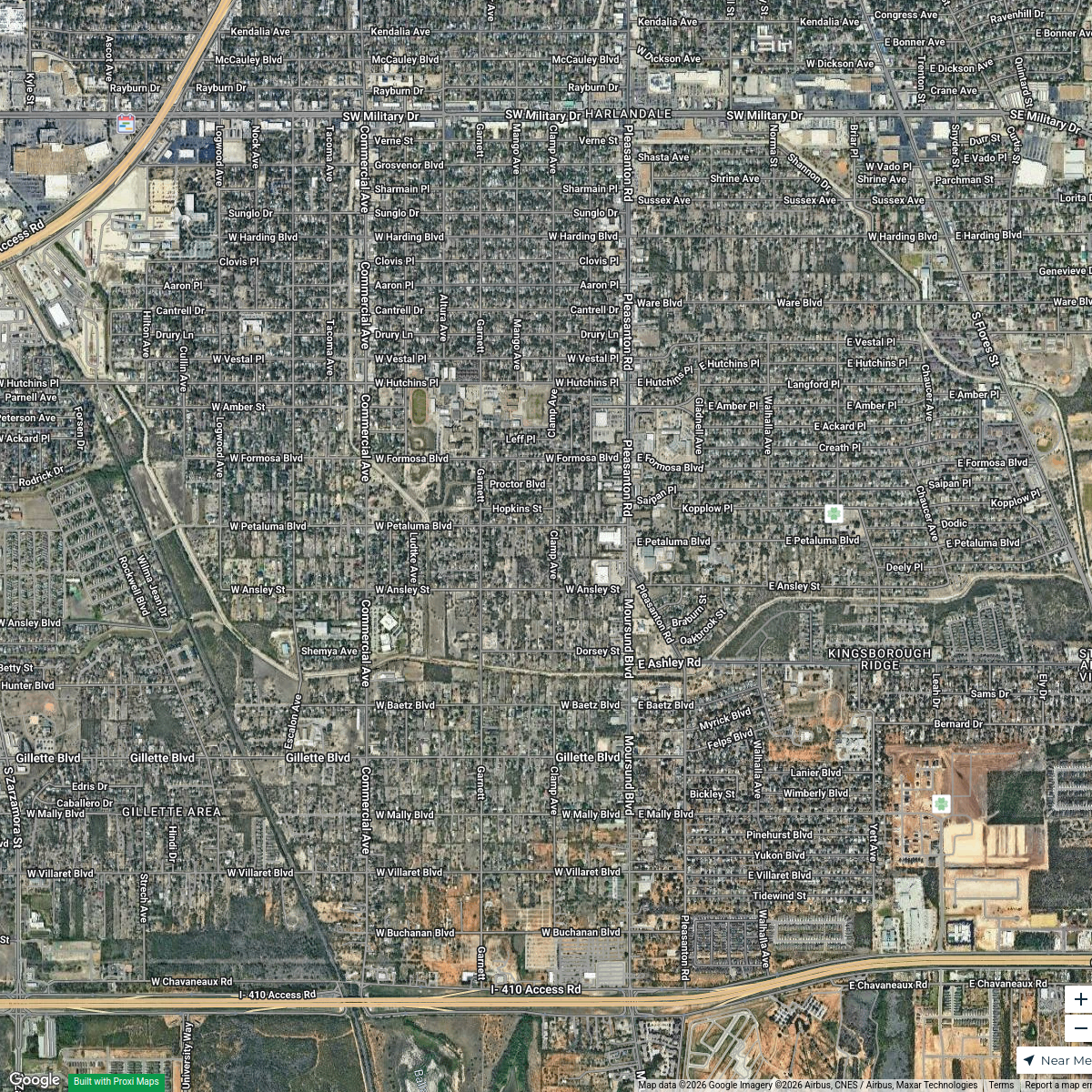
190 stops · Rochelle, Texas, USAShared by the Proxi communityVacant Buildings in San Antonio (78221)
30 stops Rayne Giesy's Workspace
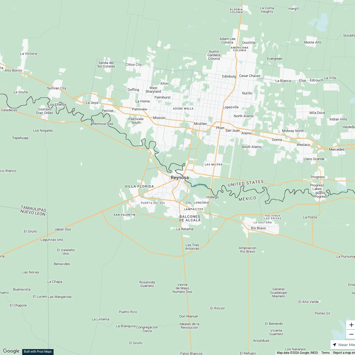
Reynosa Exploration Map
5 stops · Reynosa, Tamps., México BRANDON Basilio's Workspace
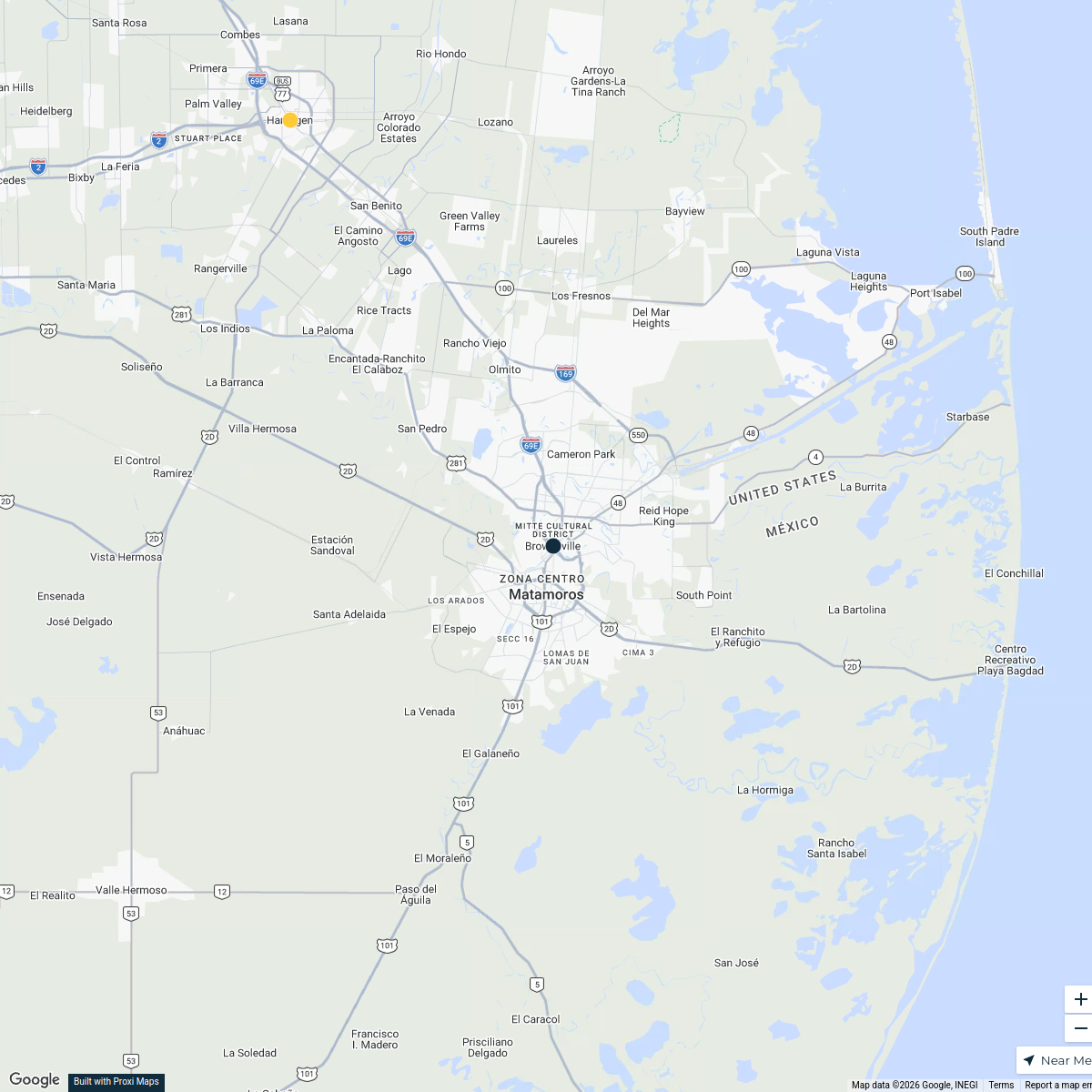
Brownsville, South Texas
11 stops · Brownsville, TX, USAAsim Zahid's WorkspaceActive Dealers in Texas
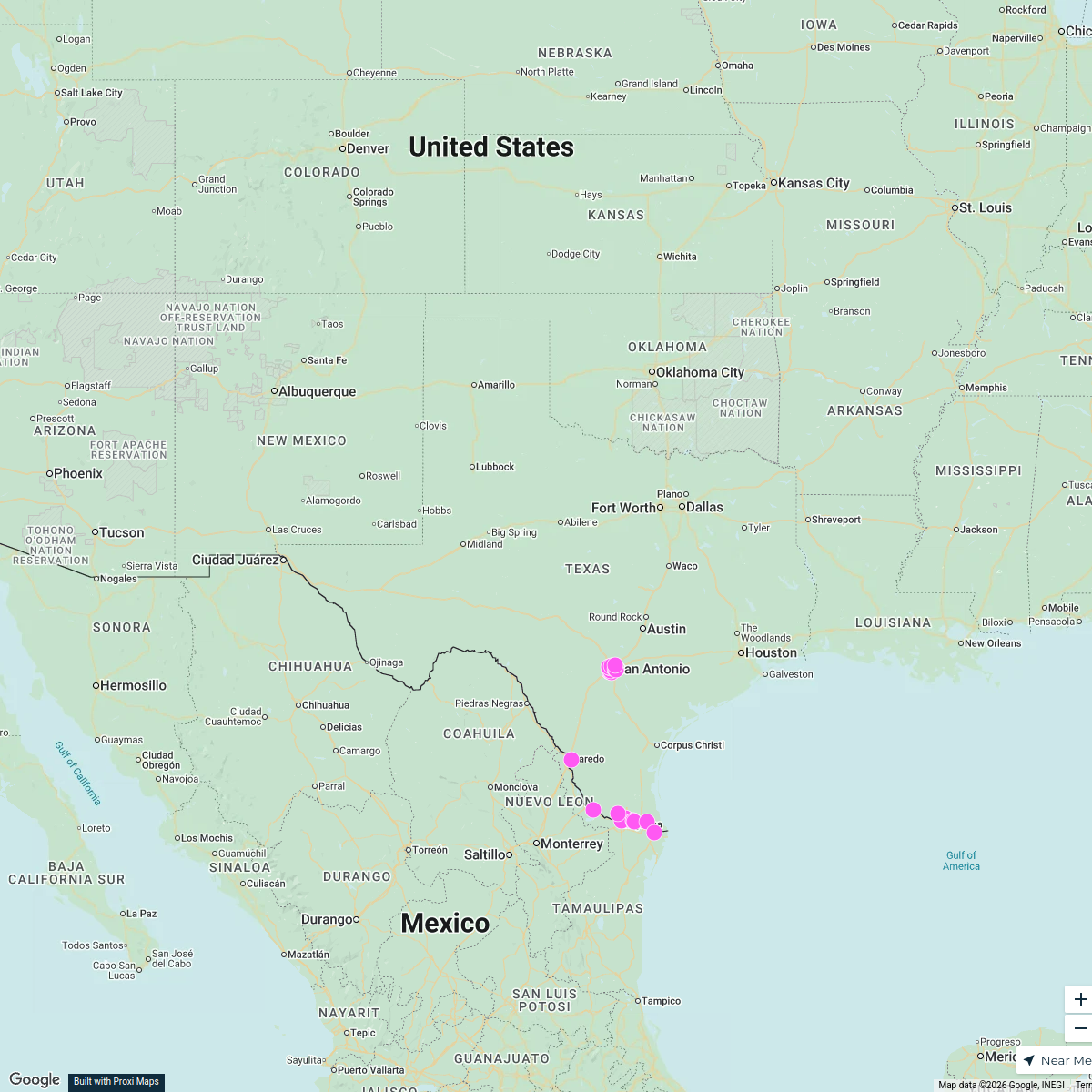
25 stops · Texas, USAGarrett Townsend's WorkspaceMap of Texas
888 stops · Texas, USA ayisatspeaks's Workspace

This map was made with Proxi
Have a main street, a market, or a story worth walking? Make your own map in a few minutes.