
Map · 19 places
Southeast US Geographic and Political Map
A detailed map showcasing the geographic features and political boundaries of the Southeastern United States, highlighting states such as Florida, Georgia, Alabama, Mississippi, Tennessee, South Carolina, North Carolina, and Virginia.
Made with ProxiUpdated Apr 2025
- States 7
- Historical Sites 5
- National Parks 3
- Rivers 3
- Geographical Features 1
Places on This Map
19 places · 5 groupsNearby Maps
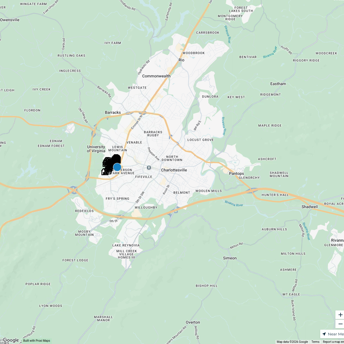
UVA Buildings and Namesakes
27 stops · Charlottesville, VA, USA History Committee
Charlottesville Ale Trail
18 stops Charlottesville Ale Trail's Workspace
My Proxi Map
194 stops · Manassas, VA, USA cakejobs30's Workspace
Recruiting Tuesday: USA
28 stops devin.cantel's Workspace
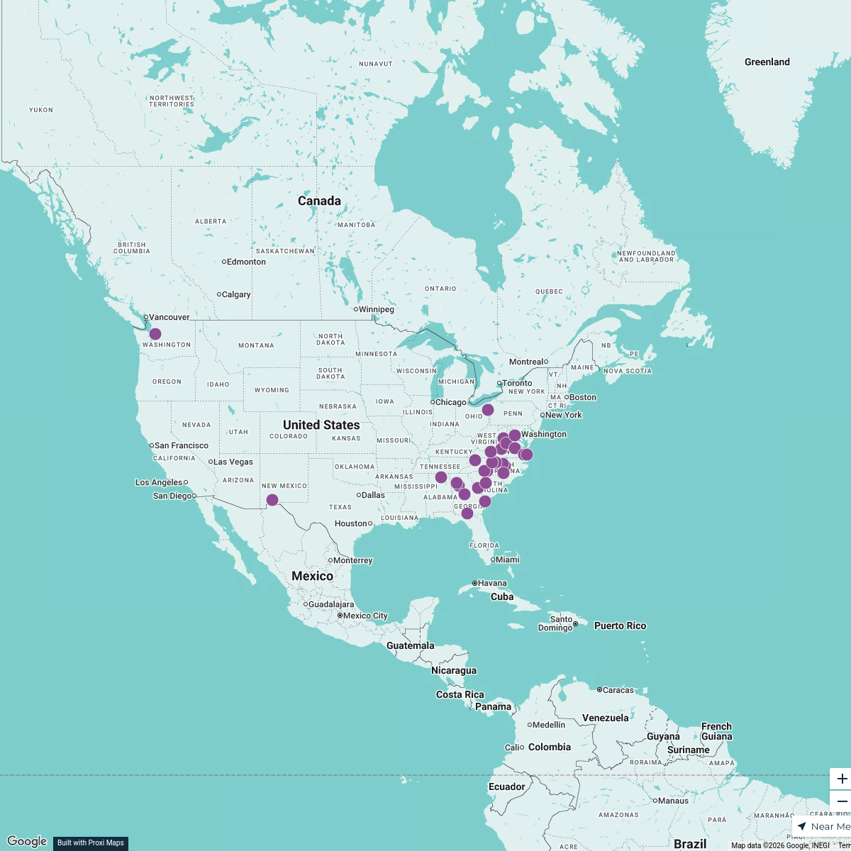
The Perry Provider Map
29 stops Laura from Perry's Workspace
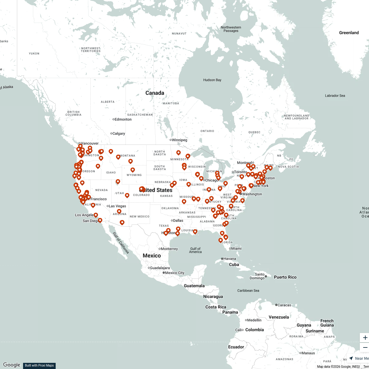
Store Locator (2025 Version)
155 stopsmountainroseherbs


This map was made with Proxi
Have a main street, a market, or a story worth walking? Make your own map in a few minutes.