
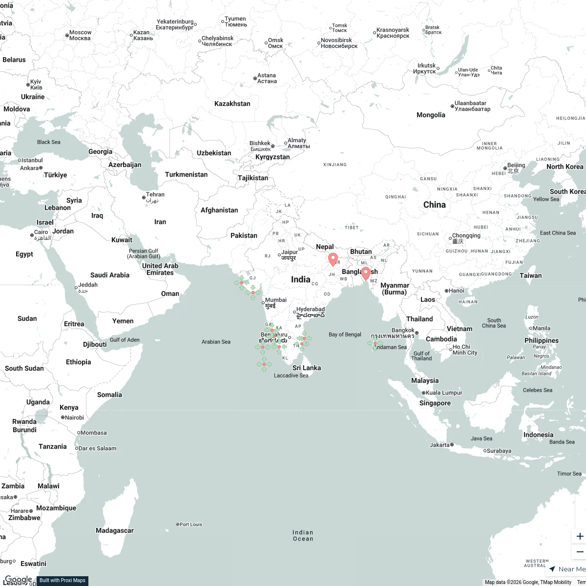
Map · 19 places
Bihar Suitability Study Map
This map showcases the various aspects of Bihar, India, focusing on the suitability for different projects, agriculture, or urban development. It highlights key resources, infrastructure, and geographical features that influence land use and planning decisions.
Made with ProxiUpdated Apr 2025
- Agricultural Suitability 5
- Infrastructure 5
- Water Resources 5
- Environmental Factors 4
Places on This Map
19 places · 4 groupsNearby Maps
Indian Beaches
12 stops srajangirdonia's Workspace
Cultural Diversity at oOh!
125 stopsevan.lau's WorkspacePin Your Heart
425 stops · Europe Voluson Performance
City Nature Challenge 2024 cities
714 stops ajaecker's Workspace
Community Map
Rajmahal Rift Map
16 stops · Bihar, IndiaShared by the Proxi communityCommunity Map
Health Trends in Bihar, India
12 stops · Bihar, IndiaShared by the Proxi community

This map was made with Proxi
Have a main street, a market, or a story worth walking? Make your own map in a few minutes.