
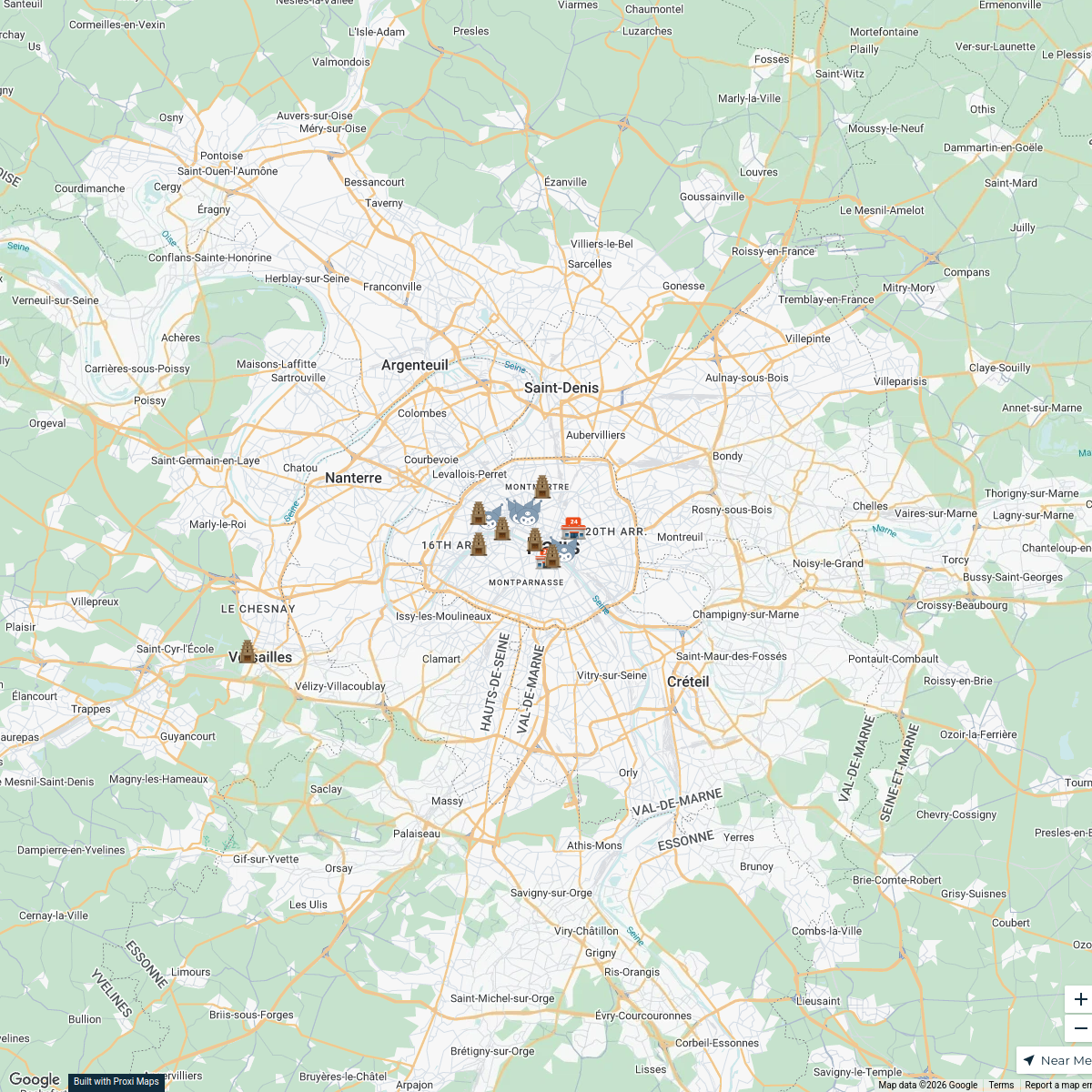
Map · 28 places
Public Transport in Paris
A comprehensive map highlighting the various public transport options available in Paris, including metro, bus, tram, and RER lines, along with key stations and transfer points.
Made with ProxiUpdated Apr 2025
- RER Stations 12
- Metro Stations 7
- Transfer Points 6
- Ticket Counters 2
- Bus Stops 1
Places on This Map
28 places · 5 groupsNearby Maps
Anime Stores in Paris
18 stops · Paris, France nafisaislam's Workspace
Thrift Stores in Paris
5 stops · Paris, France aquaria's Workspace
Trials Clubs & Enduro Parks
179 stops David Lemereis's Workspace
Phenomenon Nsi-nings
19 stopshello's WorkspaceDealer Map
222 stops michele's Workspace
Stussy Shop Locations in Europe
25 stops · Europe, EuropaRodrigo de Oya Fernández's Workspace

This map was made with Proxi
Have a main street, a market, or a story worth walking? Make your own map in a few minutes.