
Map · 15 places
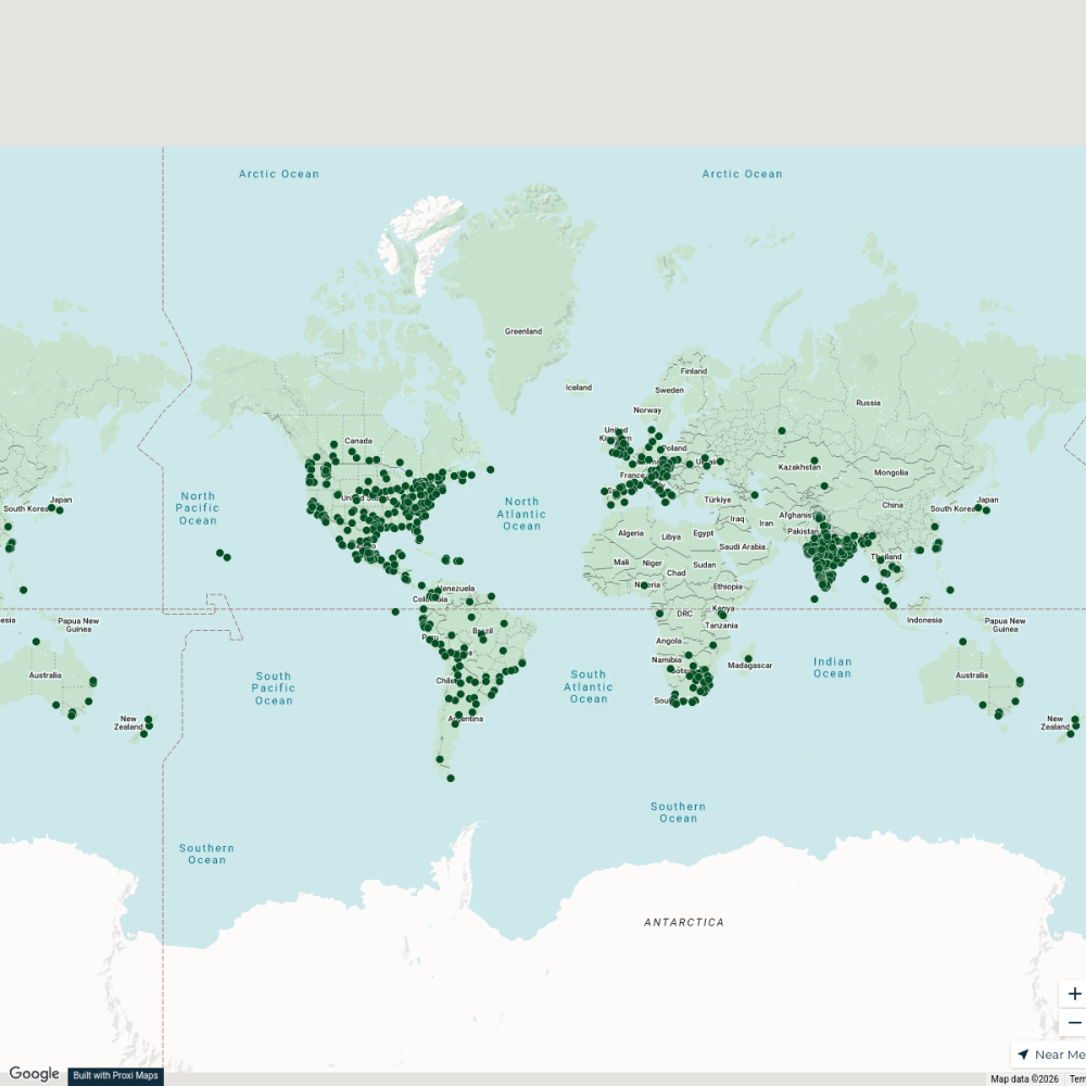
Villa Mercedes Area Map
A detailed map focusing on neighborhoods and main routes in Villa Mercedes, San Luis, Argentina
Made with ProxiUpdated Apr 2025
- Highway 2
- Neighborhood 2
- Airport 1
- City 1
- Cultural Center 1
- Healthcare Facility 1
- Museum 1
- Park 1
- Public Square 1
- School 1
- Sports Club 1
- Transportation Hub 1
- Waterway 1
Places on This Map
15 places · 13 groupsNearby Maps
City Nature Challenge 2024 cities
714 stops ajaecker's Workspace
Community Map
San Luis Bicisendas Guide
5 stops · San Luis, San Luis Province, ArgentinaShared by the Proxi communityCommunity Map
San Luis and Surroundings
7 stops · San Luis, San Luis Province, ArgentinaShared by the Proxi communityCommunity Map
San Luis Region
15 stops · San Luis, San Luis Province, ArgentinaShared by the Proxi communityCommunity Map
San Luis Capital Essentials
15 stops · San Luis, San Luis Province, ArgentinaShared by the Proxi communityCommunity Map
San Luis Capital Map
14 stops · San Luis, San Luis Province, ArgentinaShared by the Proxi community
This map was made with Proxi
Have a main street, a market, or a story worth walking? Make your own map in a few minutes.