
Map · 13 places
Nairobi Mobility Map
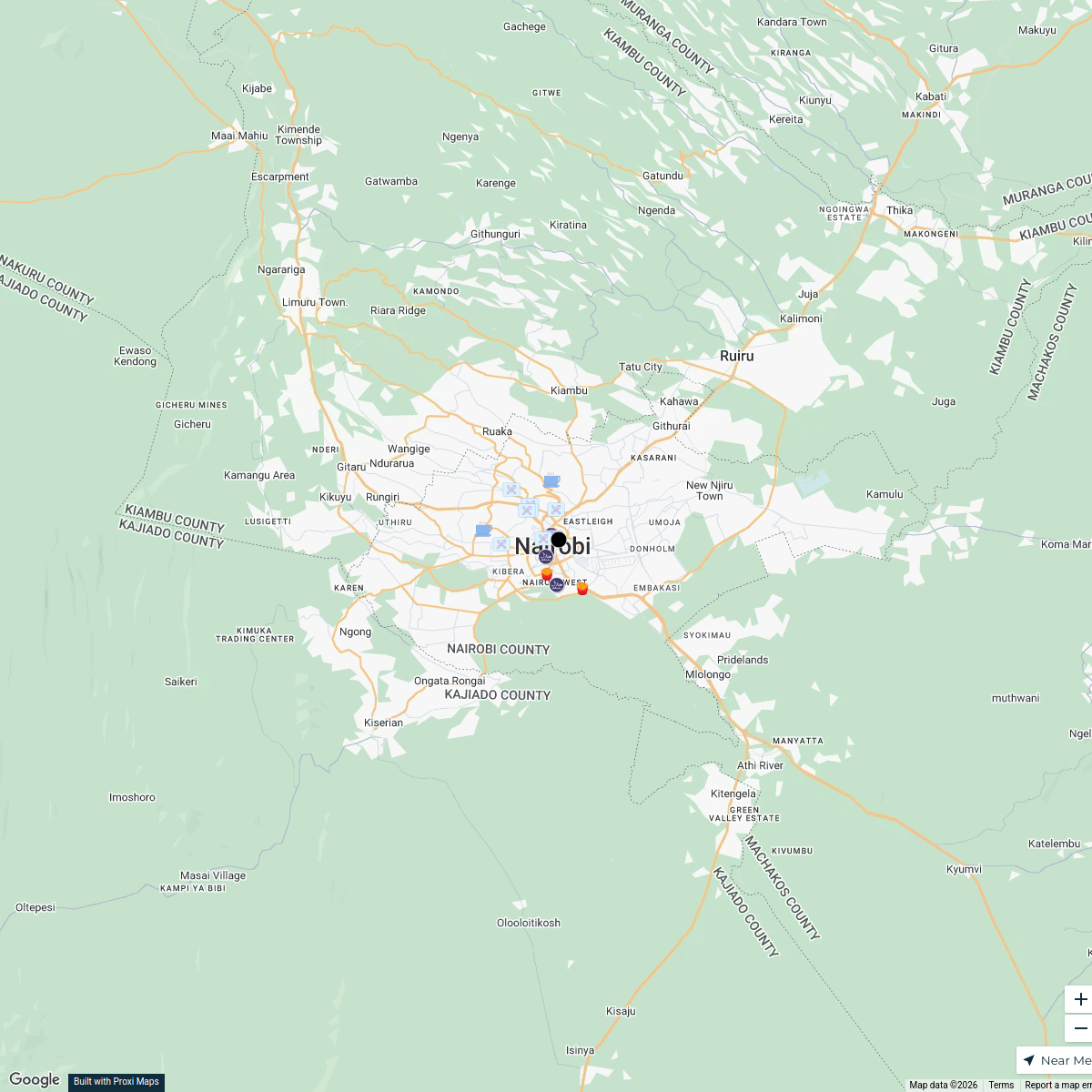
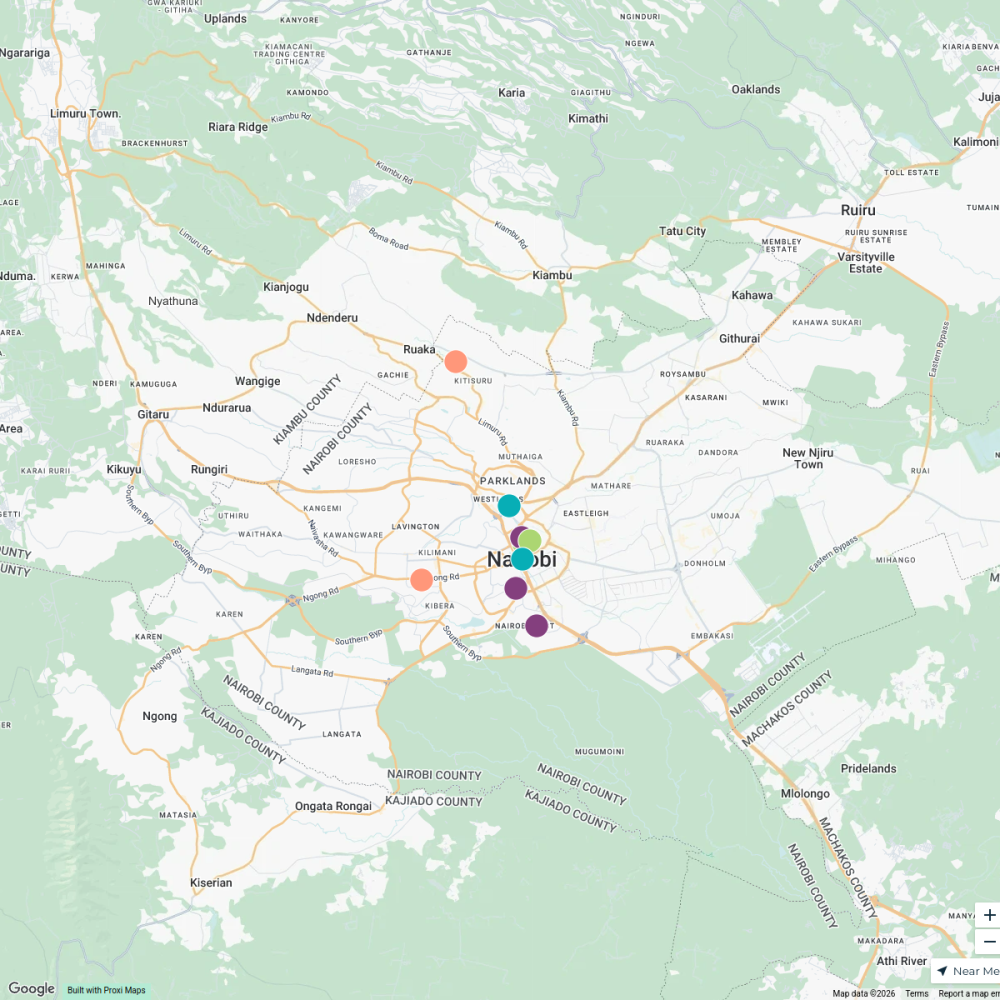
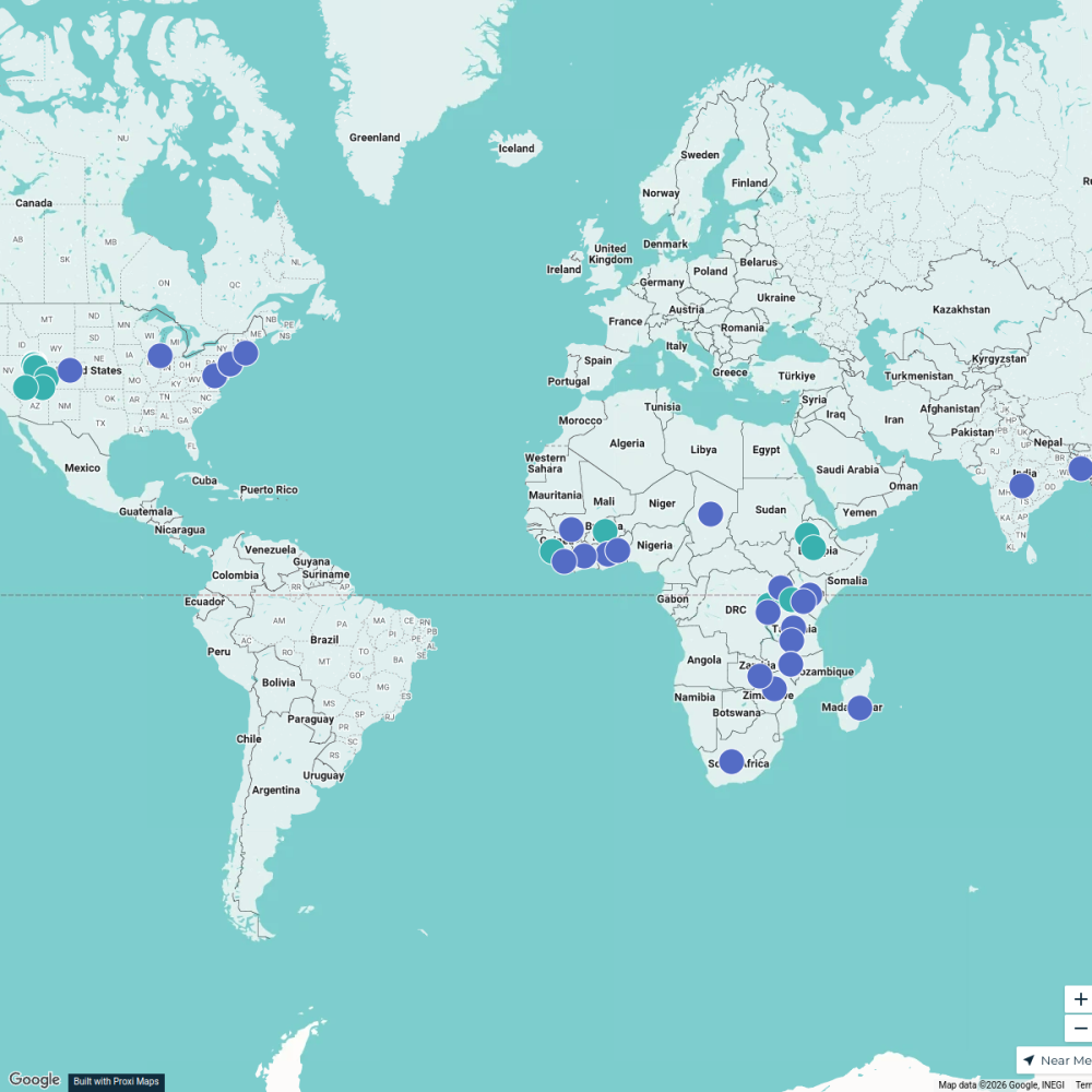
This map provides a comprehensive overview of the mobility situation in Nairobi, focusing on transportation infrastructure, traffic patterns, public transport options, and mobility challenges within the city.
Made with ProxiUpdated Apr 2025
- Public Transport 7
- Pedestrian Areas 3
- Ridesharing Services 2
- Roads and Traffic 1
Places on This Map
13 places · 4 groupsNearby Maps
Halal Restaurants in Nairobi
18 stops · Nairobi, Kenya Geo Absiye's Workspace
halal restaurants near nairobi
10 stopsGeo Absiye's WorkspaceEast Africa Adventure Map
9 stops · East AfricaSeleyian Partoip's Workspace
Beer Passport Map
357 stops Lekker Passport
MA in Refugee Protection Network
88 stopsana.mckellar's Workspace
RTNF Partners Map
61 stops Erin Blackford's Workspace
This map was made with Proxi
Have a main street, a market, or a story worth walking? Make your own map in a few minutes.