
Map · 10 places
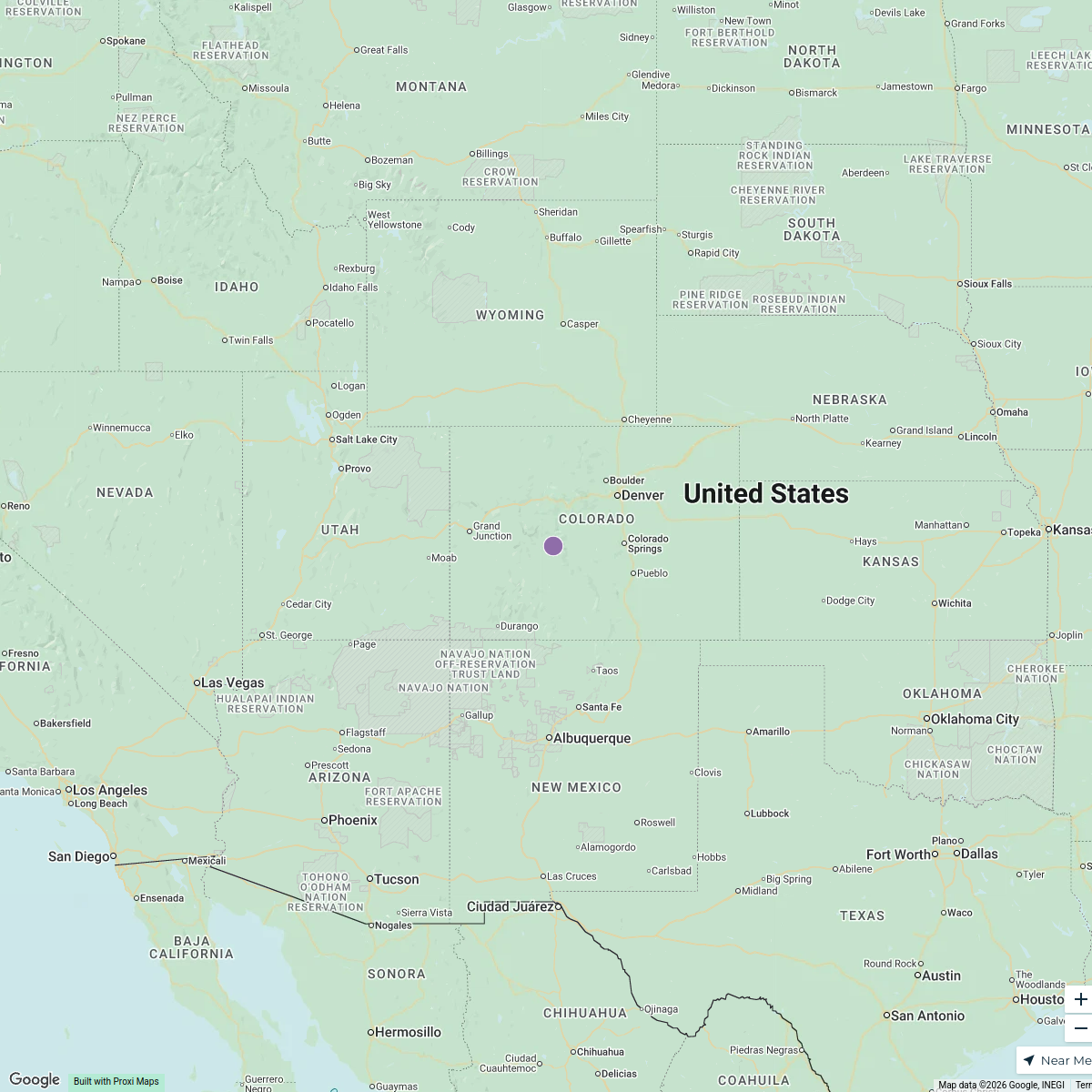
Historical U.S. States and Native American Tribes Map
This map displays the current boundaries of U.S. states along with the year each state became part of the union. It also outlines the original native American tribal nations before the Treaty of Etocha and highlights areas where tribes were forcibly relocated following the Trail of Tears.
Made with ProxiUpdated Apr 2025
- Native American Tribes 4
- U.S. States 3
- Relocation Zones 2
- Treaties 1
Places on This Map
10 places · 4 groupsNearby Maps
Shipyards in the USA
15 stops · United States Joshua DiPietro's Workspace
U.S. Catholic Shrines
10 stops · USA, United States yj627's Workspace
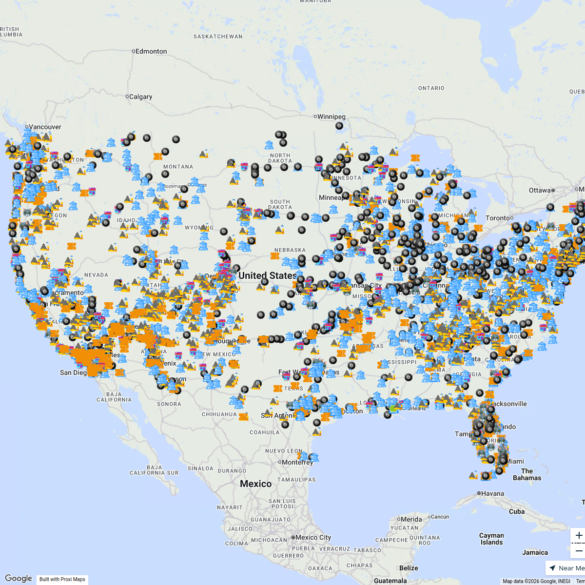
After tapping CLICK TO INTERACT ...
4359 stops Bucketlist Navigator
Element Environmental
1 stopinfo's WorkspaceFlexFactor Program Directory
177 stops NextFlex EWD
CML Project Map
1301 stops · United States Andrea Lucero 's Workspace
This map was made with Proxi
Have a main street, a market, or a story worth walking? Make your own map in a few minutes.