
Map · 11 places · Weston, FL
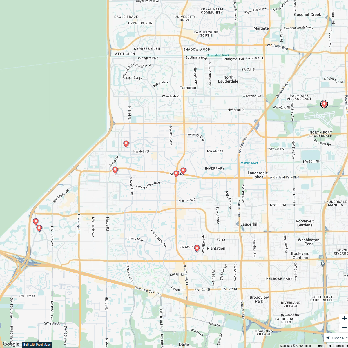
Weston Transit Map
A comprehensive transit map for the city of Weston designed to enable residents and students to easily navigate the city using public transportation. The map highlights various roads, communities, and key infrastructures, featuring color-coded routes and designated stops.
Made with ProxiUpdated Apr 2025
- Transit Stops 7
- Central Hubs 1
- Community Centers 1
- Student Access Points 1
Places on This Map
11 places · 4 groupsNearby Maps
Davie, FL
1 stop Centrum Facilities · @CentrumFacilities
Sunrise Map
9 stops · Sunrise, FL, USA Yehuda Wasser's Workspace
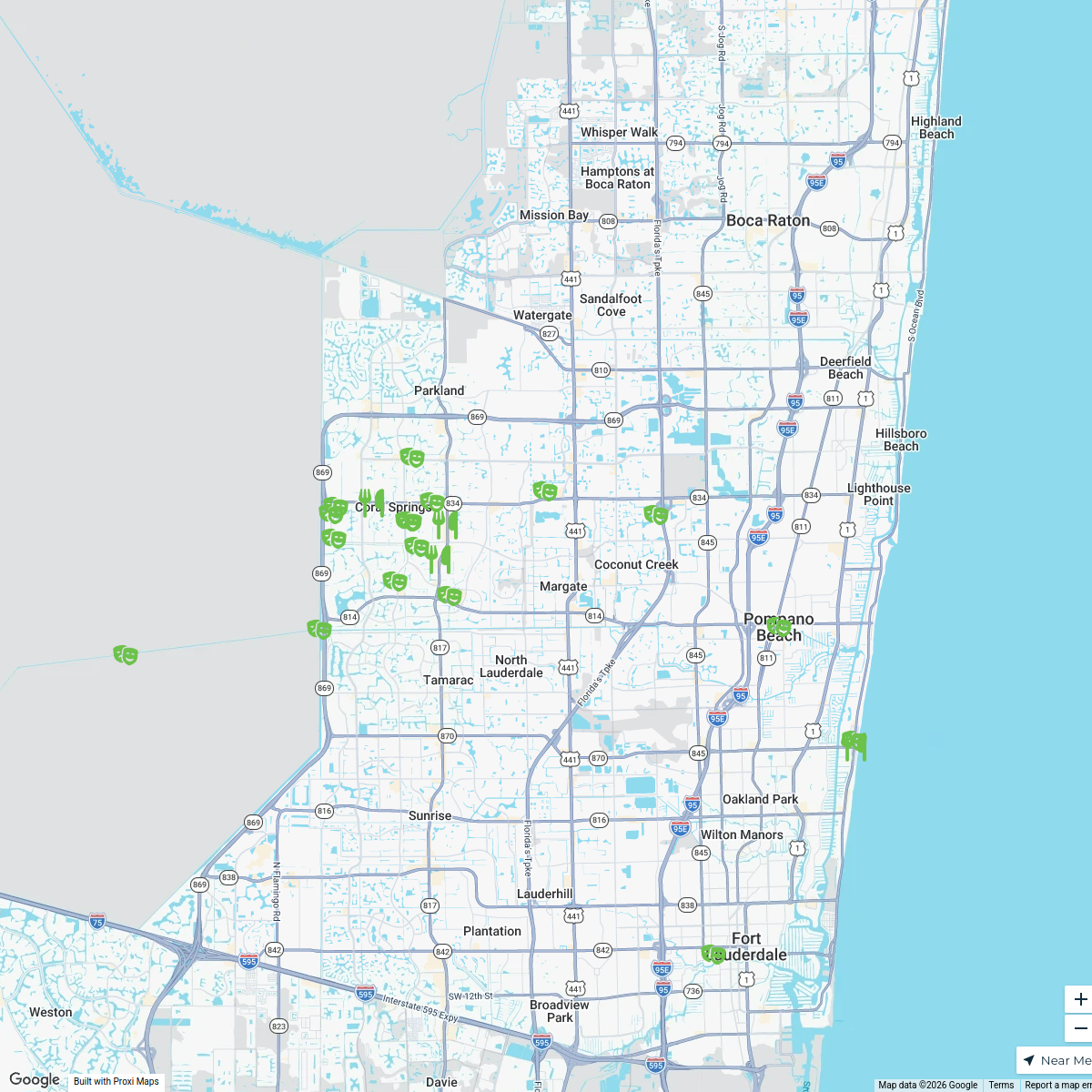
Coral Springs, FL Livability
26 stops Livability
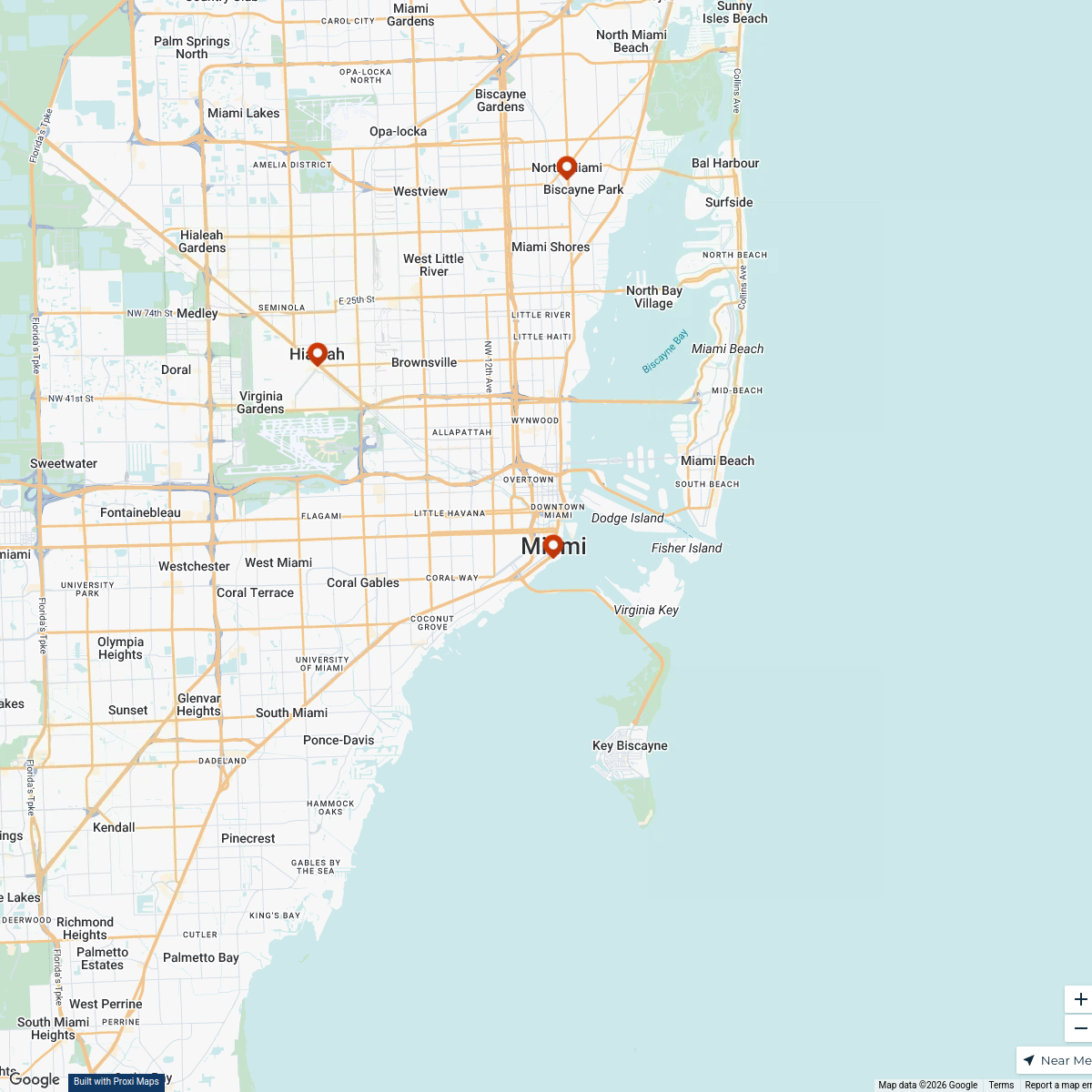
BDA System Miami
13 stops · Miami, FL, USA bethalmoore's Workspace
dog parks near miami
1 stop · Miami, FL, USA Mel's Workspace
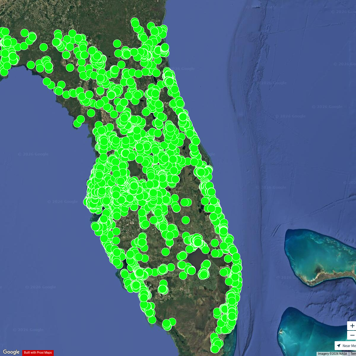
Florida MH Communities
5153 stops jason's Workspace

This map was made with Proxi
Have a main street, a market, or a story worth walking? Make your own map in a few minutes.