
Map · 18 places
Antwerp Neighborhoods Map
A detailed map showcasing key neighborhoods in Antwerp, including 't Eilandje, Historical Centre, Diamond District, Zuid, Nieuw Zuid, St Andries, Harmonie, Berchem, Zurenborg, and Wilrijk. Ideal for exploring the diverse cultural landscape of Antwerp, Belgium.
Made with ProxiUpdated Apr 2025
- Cultural Sites 5
- Dining 3
- Historical Landmarks 3
- Residential Areas 3
- Shopping Areas 3
- Neighborhoods 1
Places on This Map
18 places · 6 groupsNearby Maps
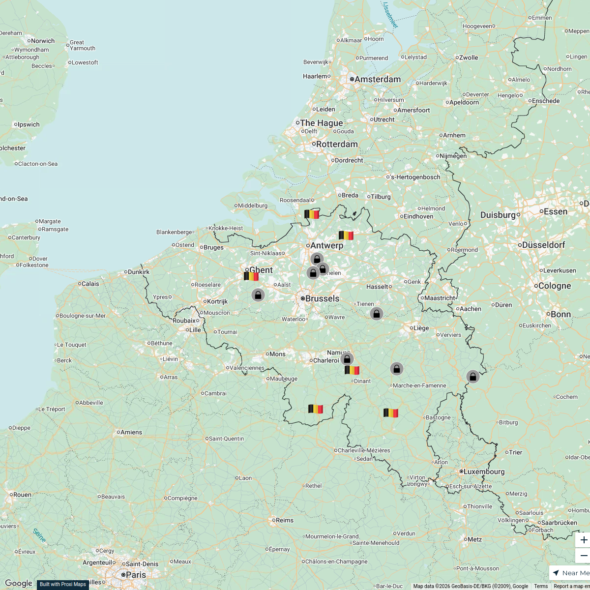
BElgie BElgium GErmany (Copy) 2
14 stops BENjamin Smit
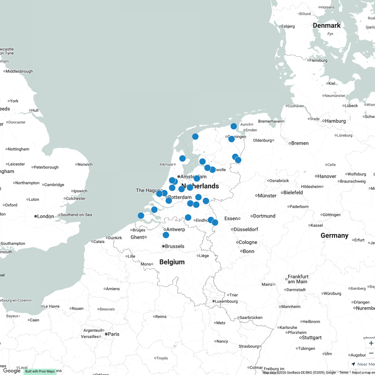
Places in The Netherlands
30 stops · Netherlands Karoliina Moberg's Workspace
abandoned industrial places in Nederland
7 stops · Netherlandssylvain.laube's WorkspaceGrand Tour Netherlands
304 stops Peter Lakeman's Workspace
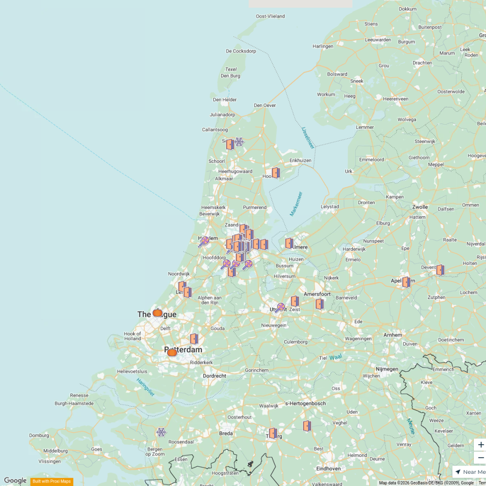
NL Halloween Trick-Or-Treat
168 stops · Amsterdam, Netherlands meek606's Workspace
MSD Haarlem worldmap
108 stops · Amsterdam, Netherlandswilmar.tigchelaar's Workspace

This map was made with Proxi
Have a main street, a market, or a story worth walking? Make your own map in a few minutes.