
Map · 16 places · Madison Heights, MI
Madison Heights Master Plan Update Map
A detailed map showcasing the updated master plan for Madison Heights, MI. This map will include key development areas, community resources, public spaces, and transportation routes as outlined in the master plan update.
Made with ProxiUpdated Apr 2025
- Community Services 5
- Future Development Zones 3
- Public Parks 3
- Commercial Areas 2
- Transportation Hubs 2
- Residential Developments 1
Places on This Map
16 places · 6 groupsNearby Maps

Pizza near Royal Oak Michigan
10 stops · Royal Oak, MI, USA Noah's Workspace
Michigan License Restoration Attorney
25 stopsPaul Tafelski's WorkspaceHeart of Downtown
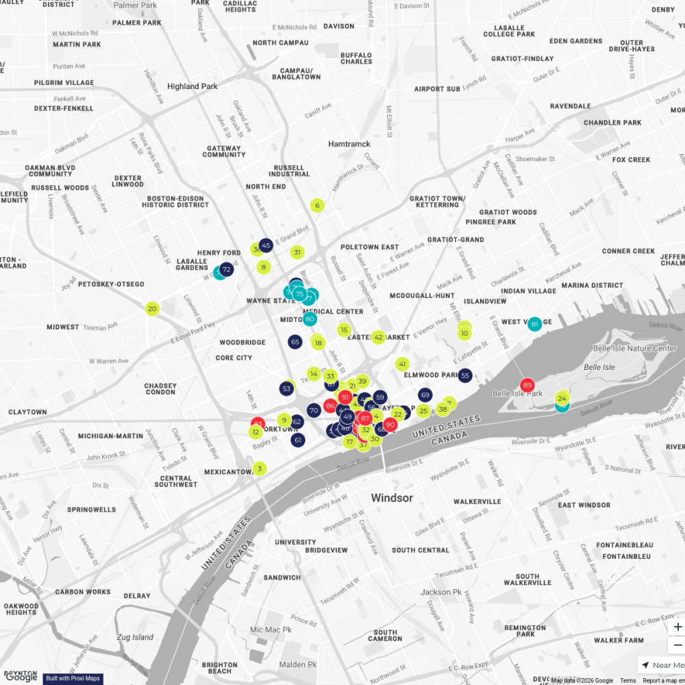
91 stopsVisit DetroitMidtown Detroit Map
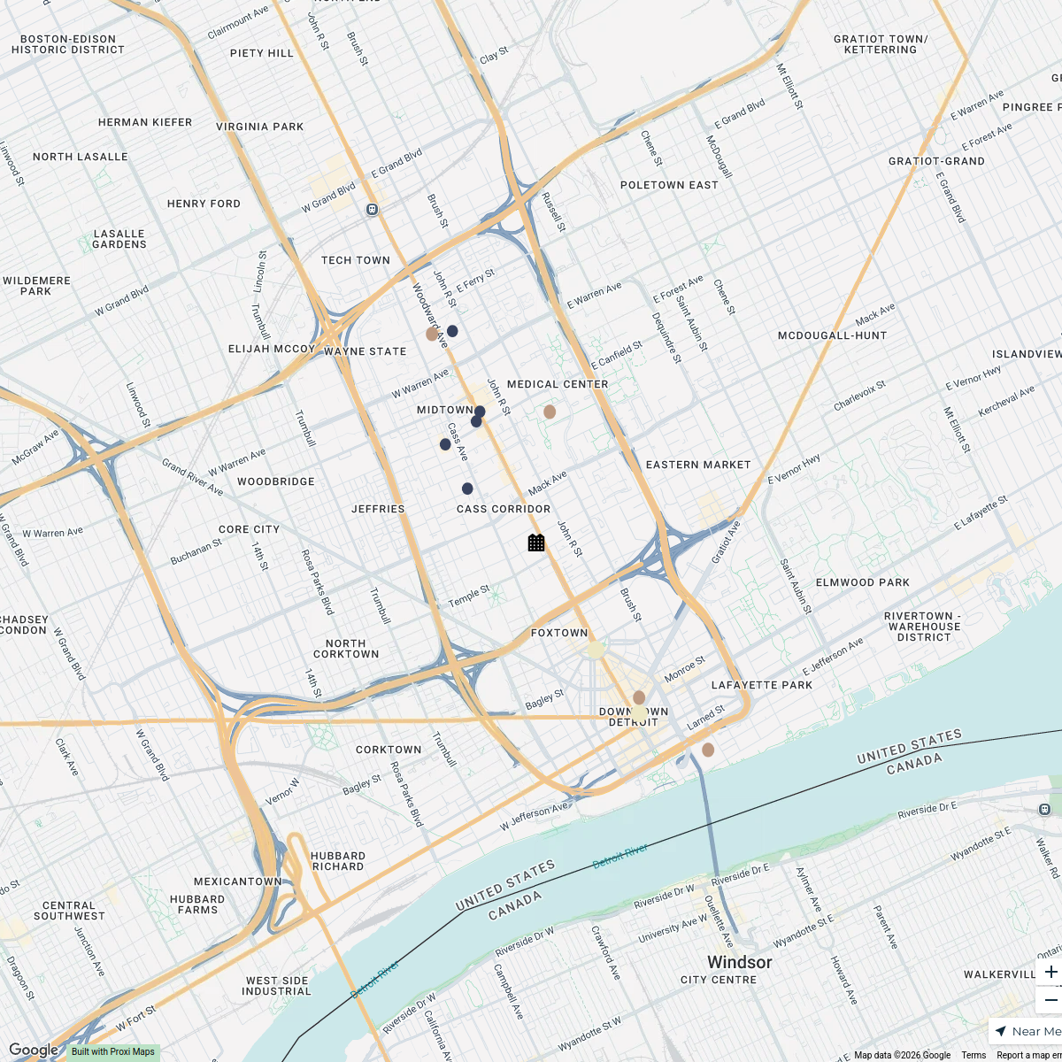
12 stops mirnah's Workspace
Welcome Realize 2026!
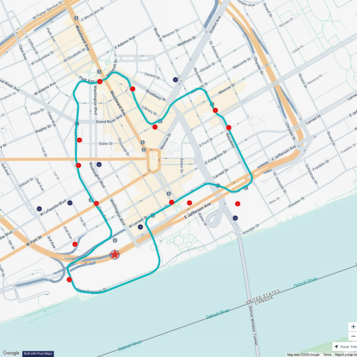
21 stopsVisit DetroitDetroit Highlights
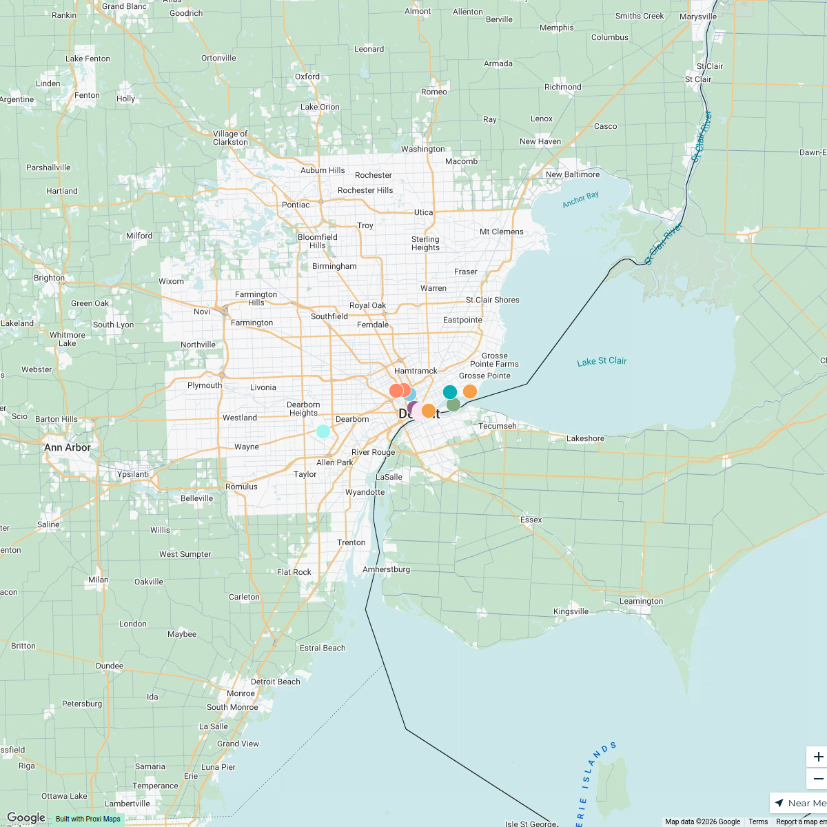
15 stops · Detroit, MI, USA nomadcollaborations's Workspace

This map was made with Proxi
Have a main street, a market, or a story worth walking? Make your own map in a few minutes.