
Map · 10 places
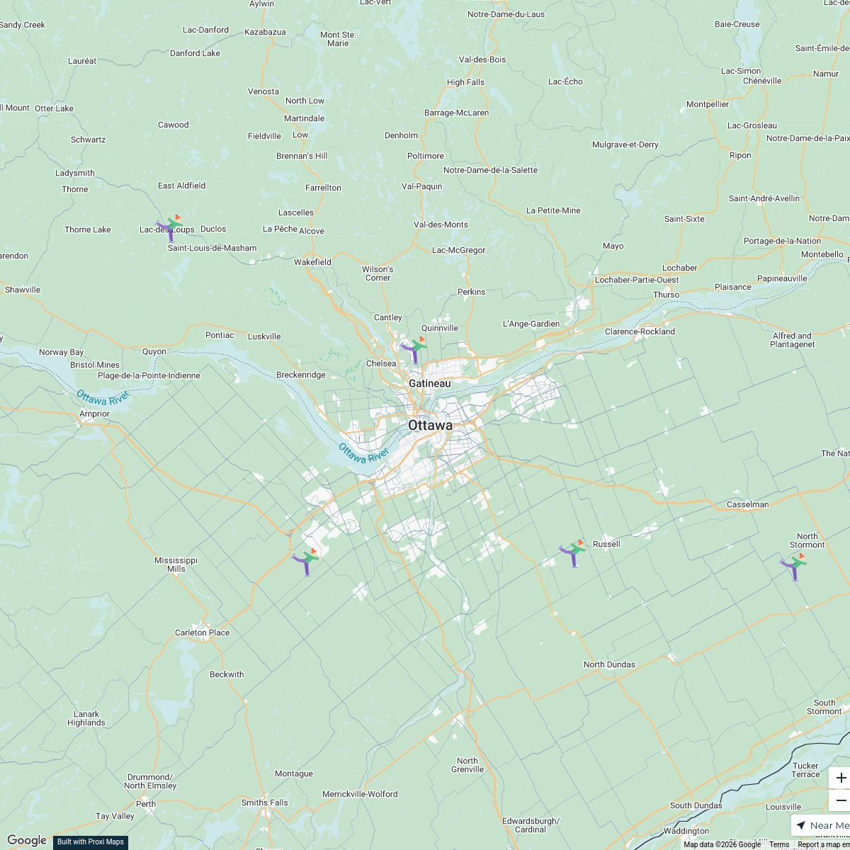
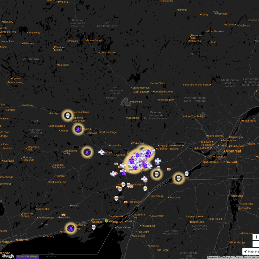
Ottawa Road Closure Map
A detailed map highlighting current road closures in Ottawa, ON, Canada. This map aims to assist locals and visitors in navigating around closed roads for better commuting and travel planning.
Made with ProxiUpdated Apr 2025
- Road Closures 10
Places on This Map
10 places · 1 groupNearby Maps
Skate Trails Near Ottawa
7 stops · Ottawa, ON, Canada laurapaquet's Workspace
Explore613 Halloween Map 2024
255 stops Jessi @ Explore 613
Ottawa #Holidays613 Lights Map 2022
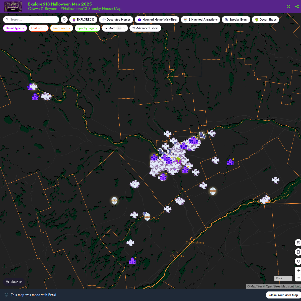
119 stops · Ottawa International Airport (YOW), Airport Parkway Private, Ottawa, ON, CanadaJessi @ Explore 613Explore613 Halloween Map 2025
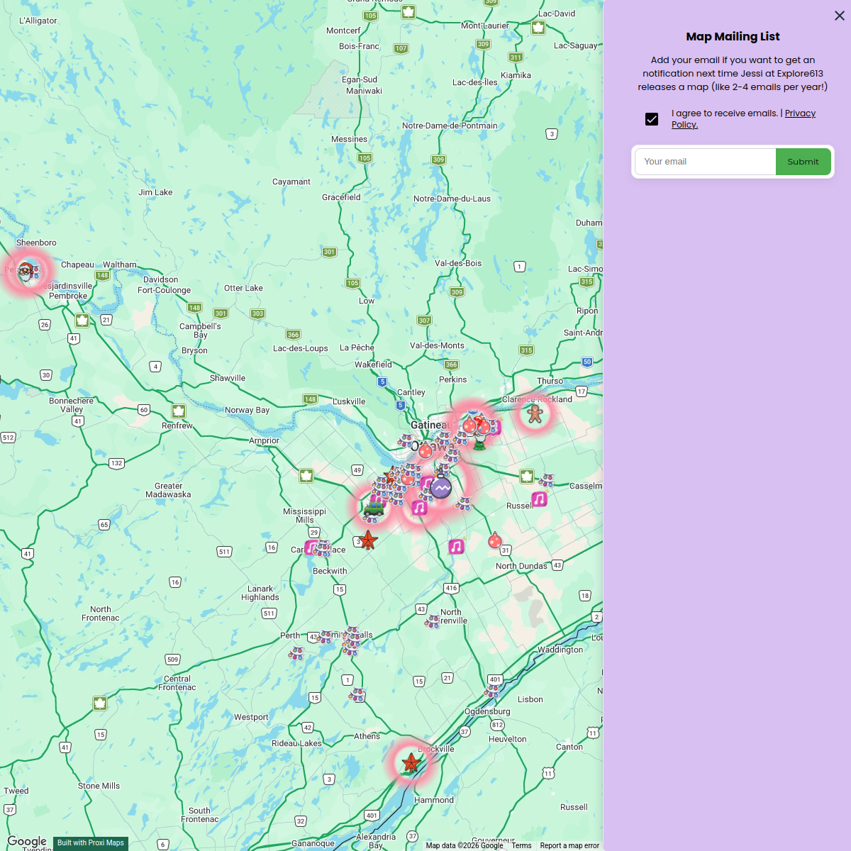
221 stopsJessi @ Explore 613Explore 613 Holiday Map 2024
66 stopsJessi @ Explore 613Explore613's Halloween Map 2023
200 stopsJessi @ Explore 613


This map was made with Proxi
Have a main street, a market, or a story worth walking? Make your own map in a few minutes.