
Map · 28 places · St. Louis, MO
Historical St. Louis Street Map (1850-2000)
An interactive map showcasing the development of St. Louis, MO from 1850 to 2000. Explore historical streets, landmarks, and the city's evolution over 150 years.
Made with ProxiUpdated Apr 2025
- Church 23
- Street Development 5
Places on This Map
28 places · 2 groupsNearby Maps
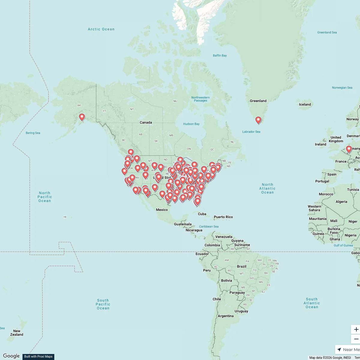
Visit Wood River Illinois
294 stops Kristen Burns's Workspace
Flat Nancy Field of Dreamers PMQ
707 stops · Chesterfield, MO, USA Kimberly Moos's Workspace
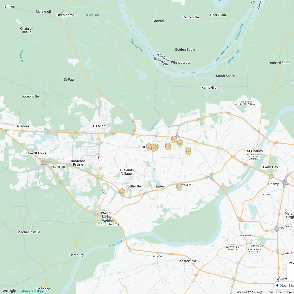
Senior Living in St. Peters
10 stops · St Peters, MO, USA Meghan Schmitz's Workspace
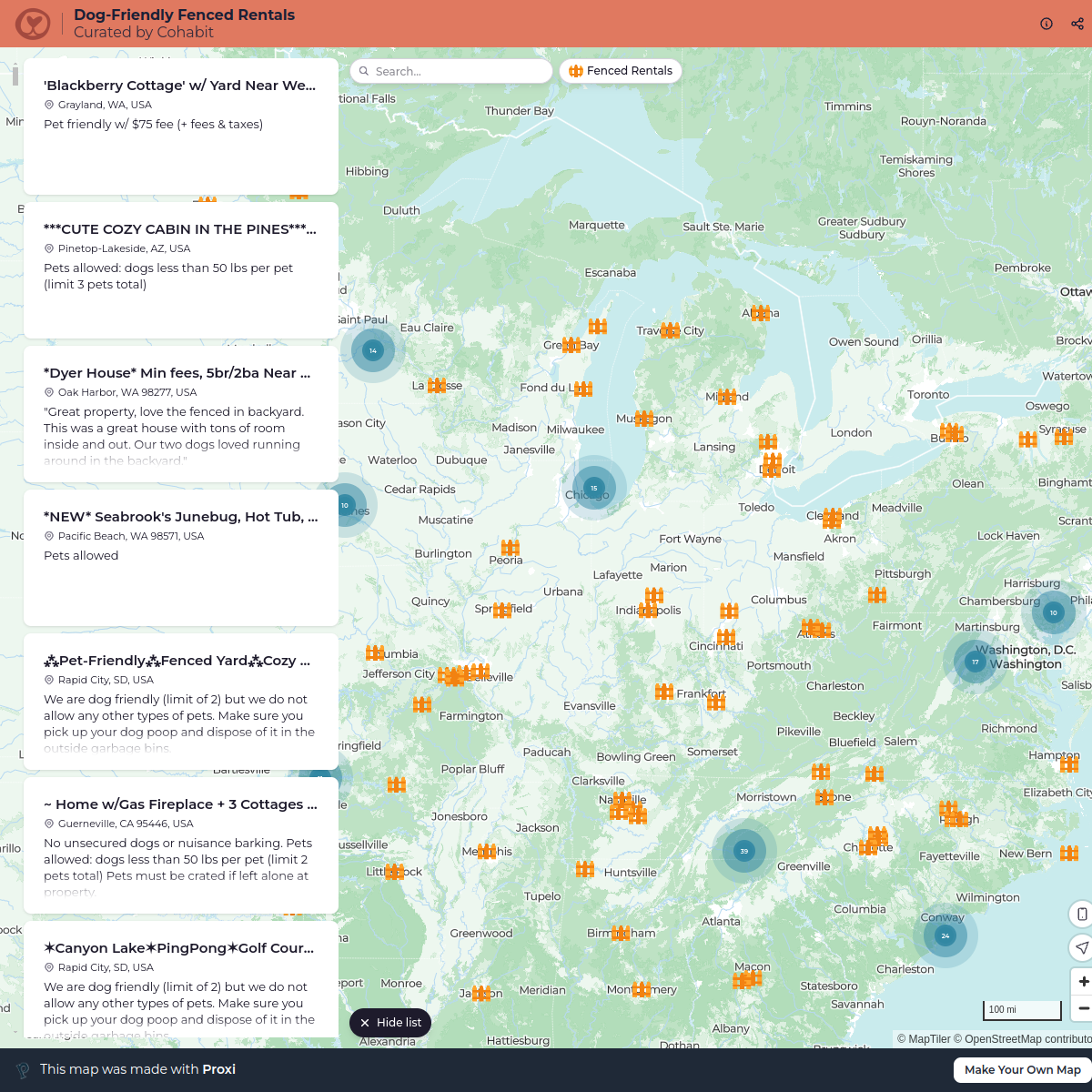
Dog-Friendly Fenced Rentals
792 stops cohabit
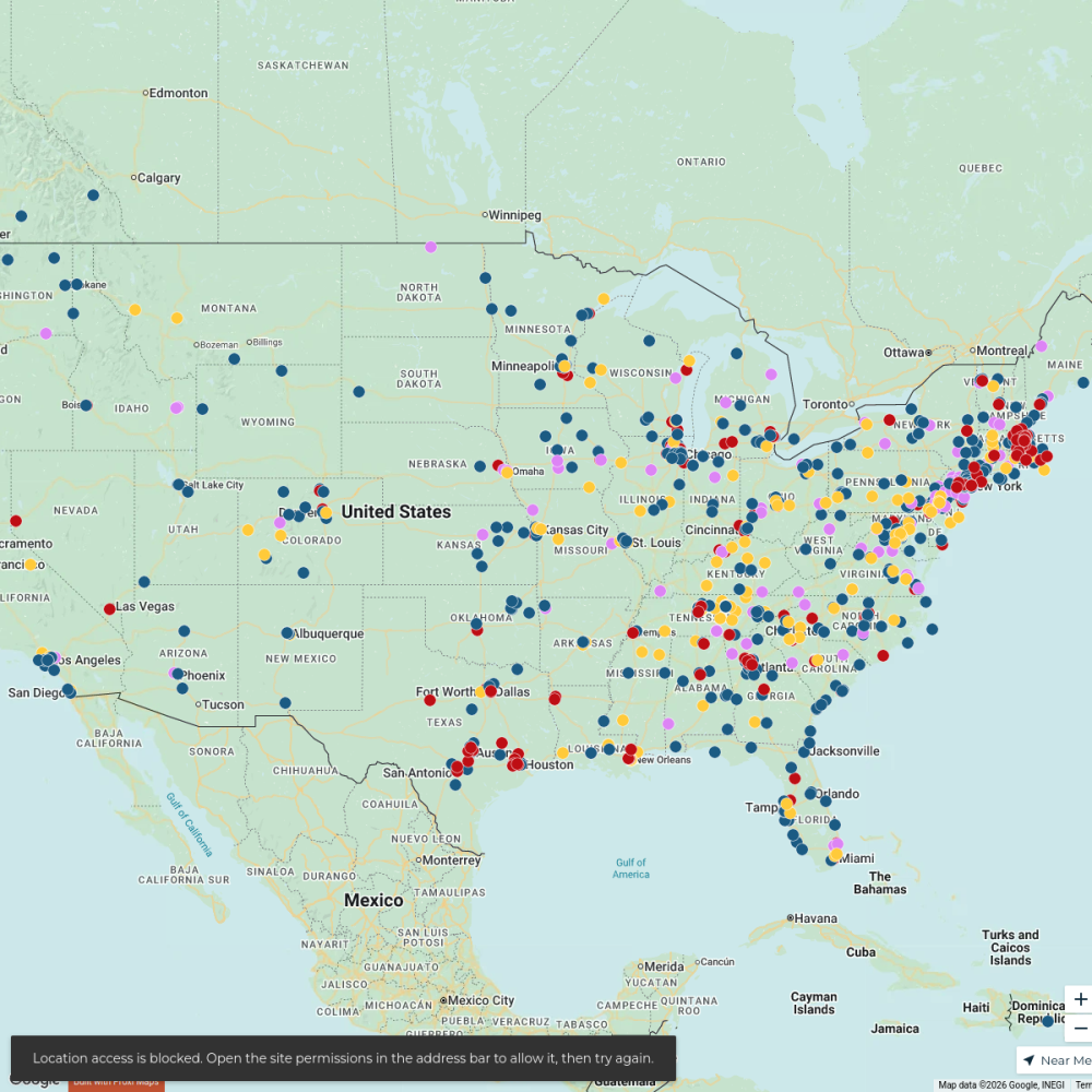
Find Franklin Fixtures near me
995 stopsJoy Watkins's WorkspaceDealers
788 stopsdj's Workspace
This map was made with Proxi
Have a main street, a market, or a story worth walking? Make your own map in a few minutes.