
Map · 18 places
Fantasy Rapid Transit: Metro Vancouver
A conceptual map showcasing an imaginary rapid transit system designed to enhance connectivity across Metro Vancouver. This map features innovative transit routes, stations, and potential expansion areas that creatively integrate with the region’s scenic landscapes and urban centers.
Made with ProxiUpdated Apr 2025
- Transit Stations 6
- Intermodal Hubs 3
- Landmarks 3
- Neighborhoods 3
- Parks and Recreation Areas 3
Places on This Map
18 places · 5 groupsNearby Maps
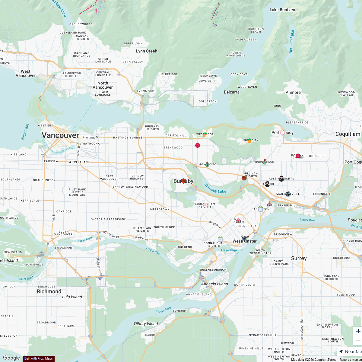
Rose otto flower inc
18 stops · Burnaby, BC, Canada bethalmoore's Workspace
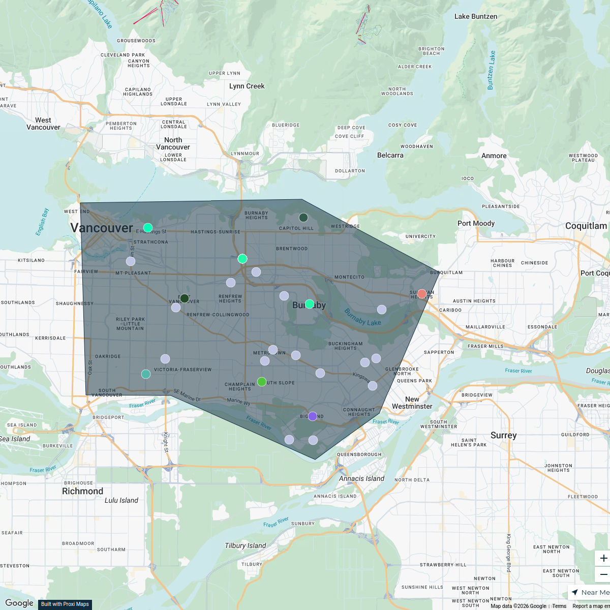
Burnaby Appliance Stores
34 stops · Burnaby, BC, CanadaGStack Rankers's WorkspaceMetroVancouver Rental Properties
83 stops Jimmy Ng's Workspace
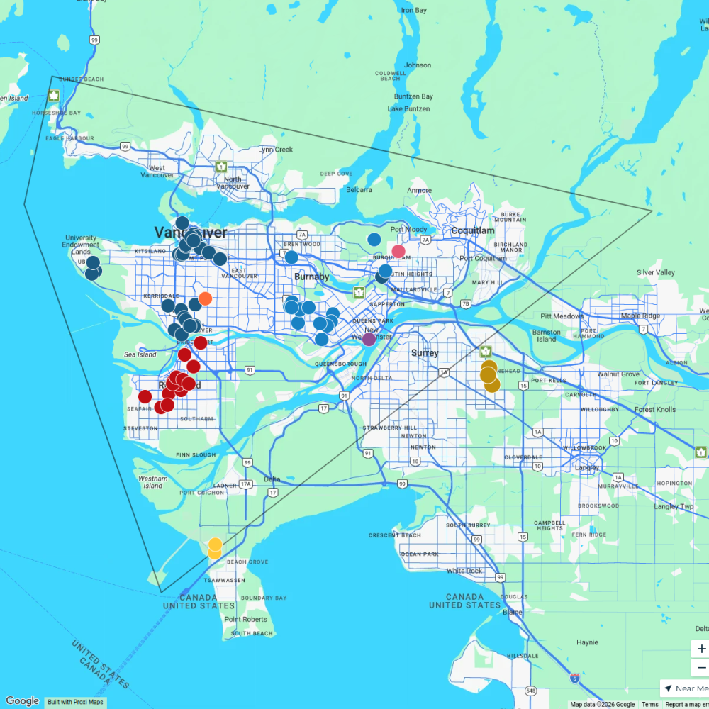
German kitchen cabinets Vancouver
377 stops · Vancouver, BC, Canada Soheil Jalali's Workspace

Witch Businesses in BC
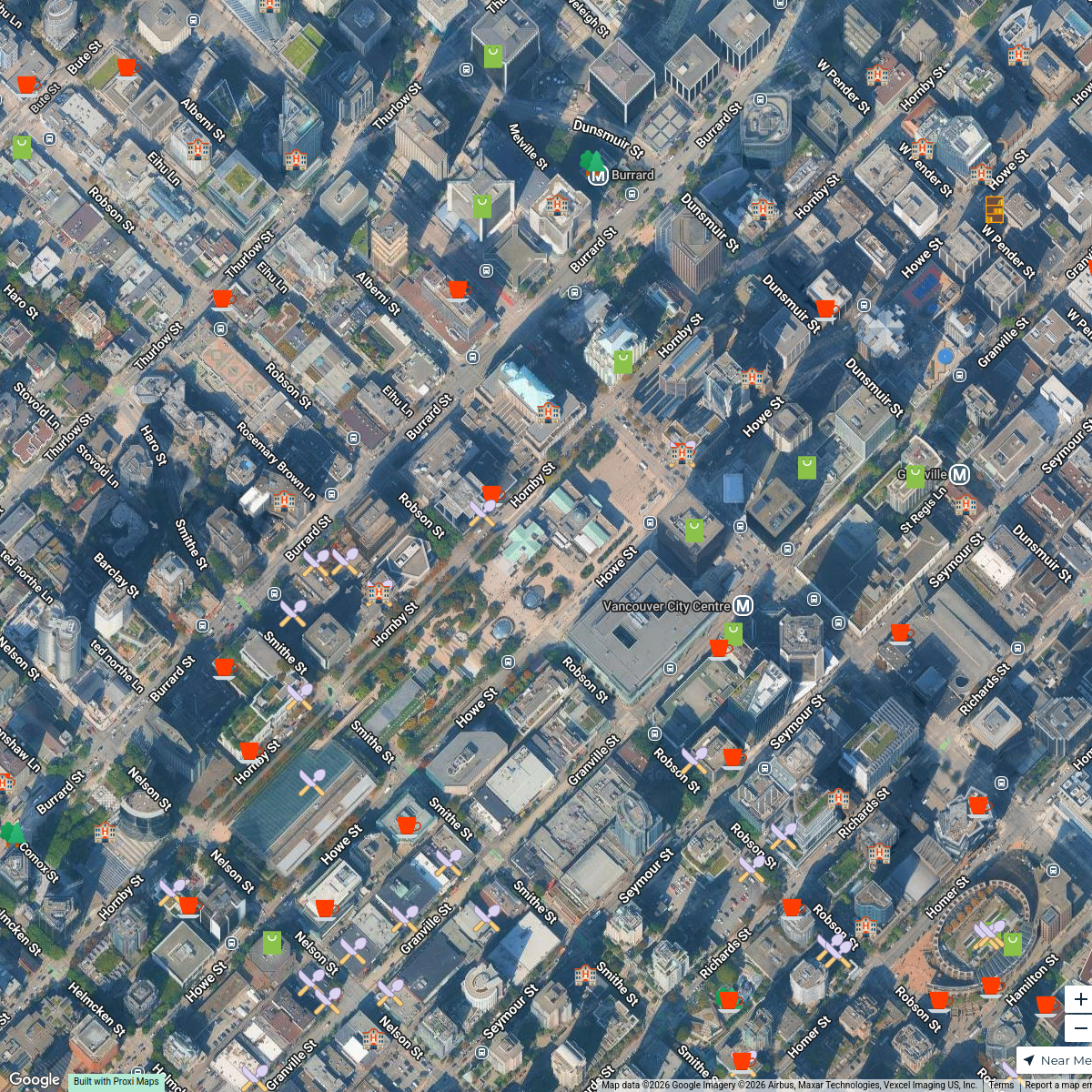
183 stops · Vancouver, BC, CanadaCassie Clay-Smith's WorkspaceVancouver Trick-Or-Treat-Map
49 stops · Vancouver, BC, CanadaCuriocity
This map was made with Proxi
Have a main street, a market, or a story worth walking? Make your own map in a few minutes.