
Map · 18 places
Hammersmith Neighbourhood Scheme
A detailed map showcasing the unique neighbourhood schemes, local amenities, and community facilities in Hammersmith, London. This map highlights residential areas, parks, schools, and shops, providing a comprehensive view of the local community resources and initiatives.
Made with ProxiUpdated Apr 2025
- Parks 4
- Community Centers 2
- Estates 2
- Recycling 2
- Schools 2
- Shops 2
- Transportation 2
- Green Space 1
- Residential Areas 1
Places on This Map
18 places · 9 groupsNearby Maps
Pest Control London
37 stops · MA PEST CONTROL, 20 Ladbroke Cres, London W11 1PS, UK bethalmoore's Workspace
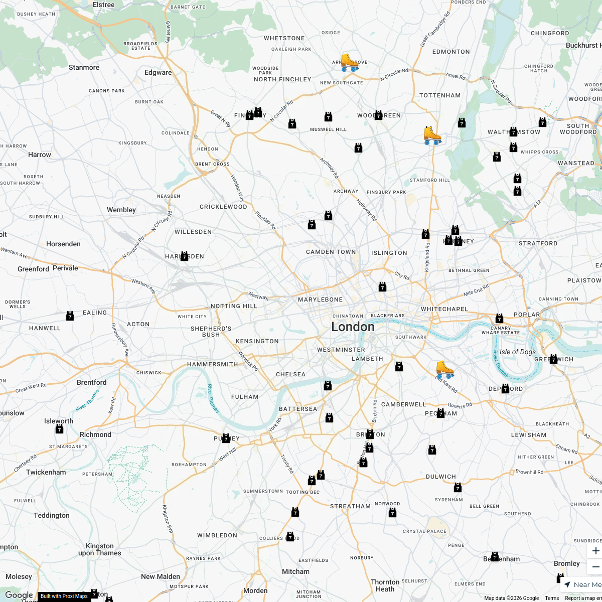
London Roller Derby
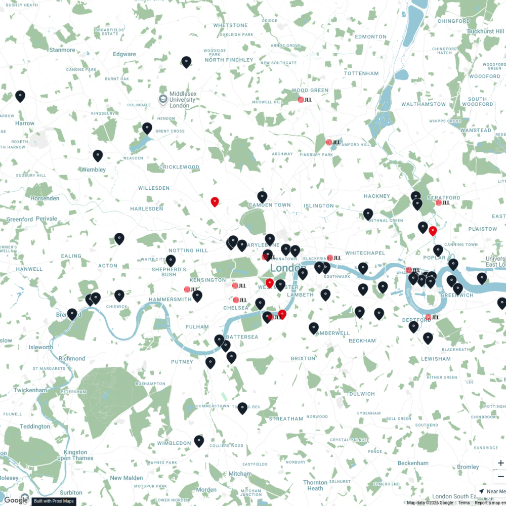
76 stopskatylw123's WorkspaceJLL Residential
76 stops JLL London
Ted Lasso London Filming Locations
42 stops · London London in Real Life's Workspace
London's Oldest Pubs
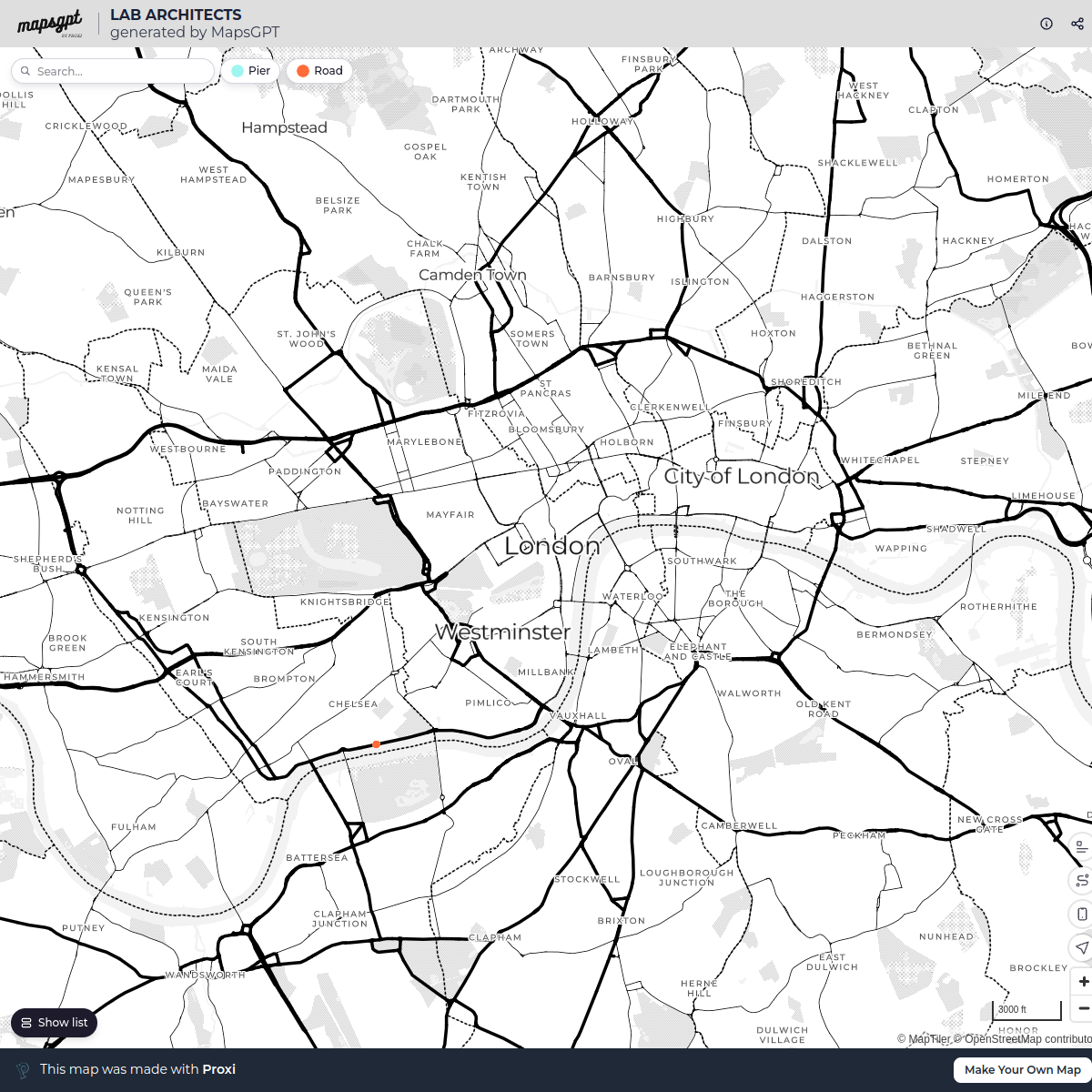
13 stops · London, UKLondon in Real Life's WorkspaceLAB ARCHITECTS
1 stop · London, UK georgie's Workspace


This map was made with Proxi
Have a main street, a market, or a story worth walking? Make your own map in a few minutes.