
Map · 13 places · Waterloo, Ontario
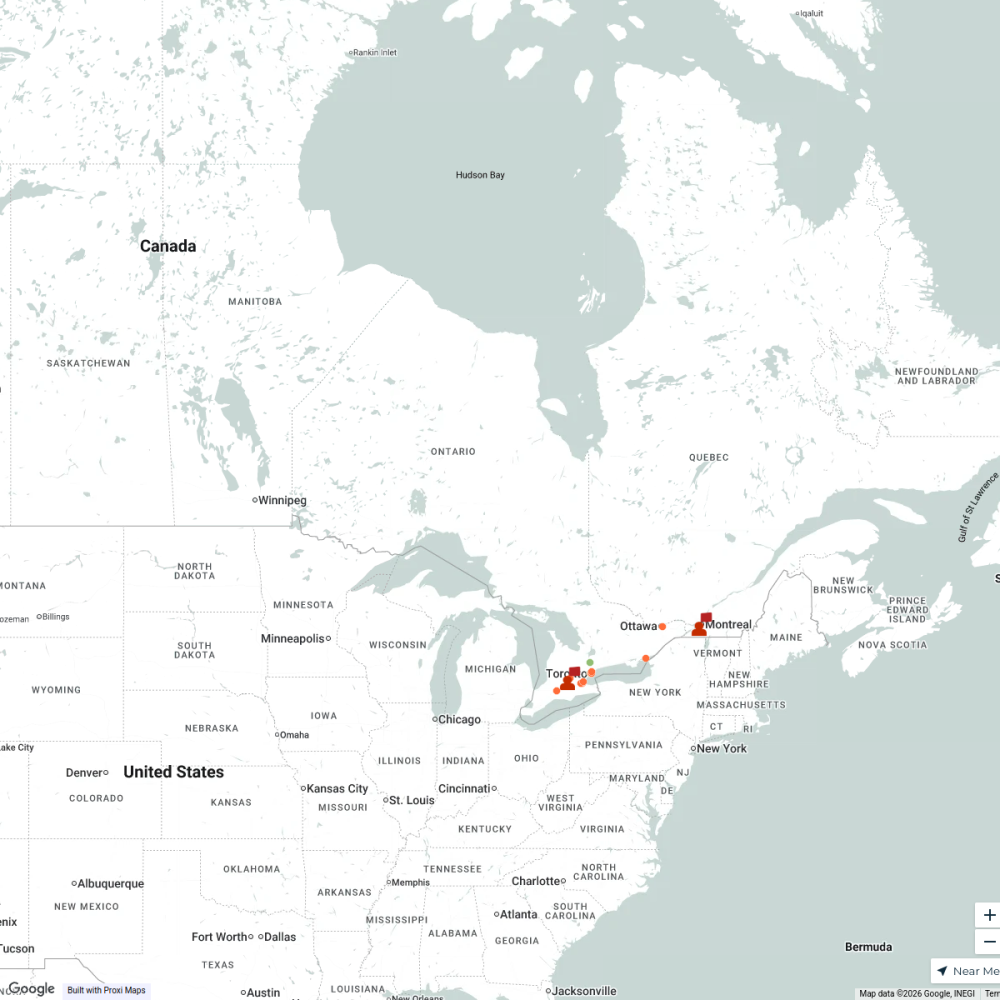
Flood Impact Roads in Kitchener, ON
A detailed map showcasing the roads in Kitchener, Ontario that have been affected by recent flooding. This map highlights major impacted areas, providing insights for residents and city planners on flood-prone routes and the extent of water damage.
Made with ProxiUpdated Apr 2025
- Emergency Services 7
- Urban Planning 5
- Infrastructure Impact 1
Places on This Map
13 places · 3 groupsNearby Maps
Sparkle Spectacle Holiday Lights
1 stop OBSERVER
Lived Here
6 stops · Toronto, ON, Canada WSH N (William)'s Workspace
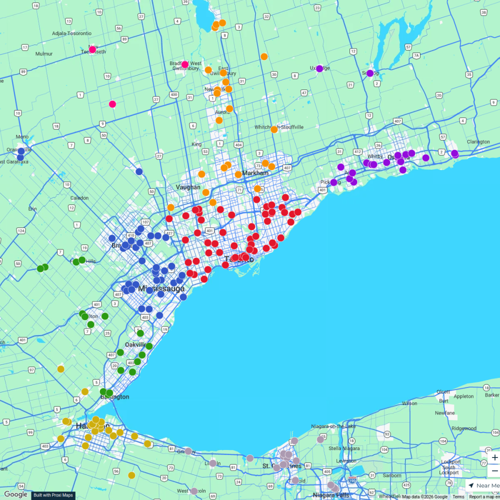
Ontario Food Banks
500 stops Ameen Ahmed's Workspace
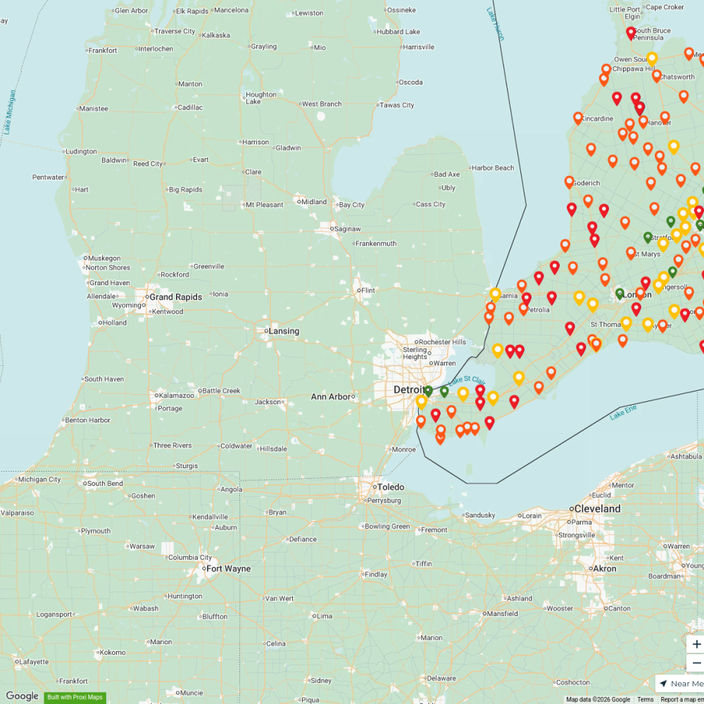
Hosper Mortgage - Pricing Map
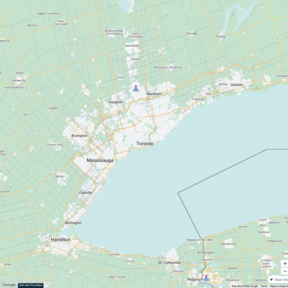
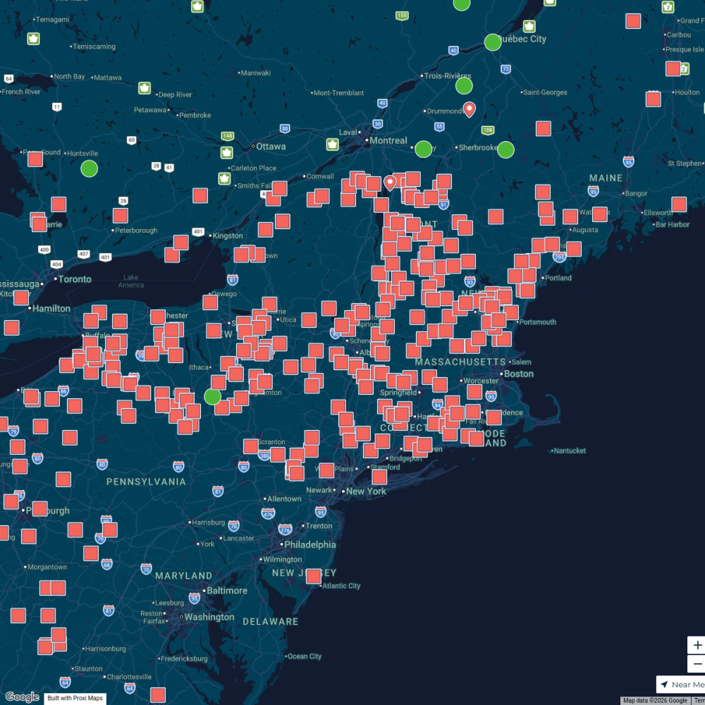
402 stopsshana's WorkspaceMaple Map / Carte des sucres
441 stops · Albany, NY, USA StoryWorkz Creative's Workspace
IPHCC Safespace Network Map
16 stops sask practice's Workspace

This map was made with Proxi
Have a main street, a market, or a story worth walking? Make your own map in a few minutes.