
Map · 15 places
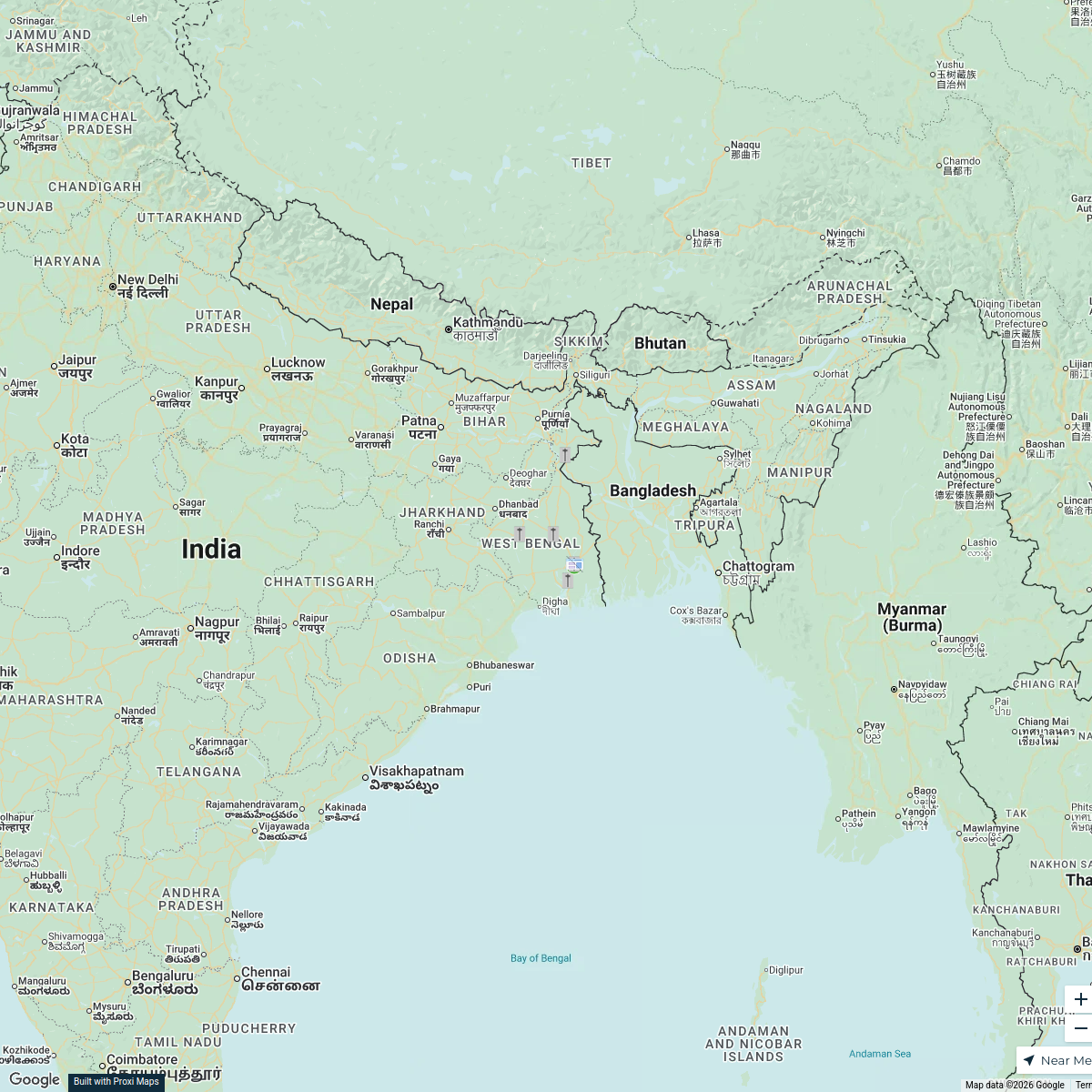
Political Map of West Bengal
A detailed political map showcasing the diverse districts, cities, rivers, and landmarks of West Bengal, beautifully illustrated and labeled in both English and Bengali.
Made with ProxiUpdated Apr 2025
- City 5
- National Park 3
- Beach Destination 2
- Cultural Site 2
- Hill Station 2
- Historical Site 1
Places on This Map
15 places · 6 groupsNearby Maps
Thalassaemia Control Units in West Bengal
9 stops · West Bengal, India Samik Samaddar's Workspace
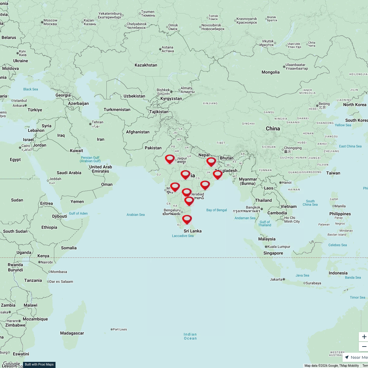
Historical Arts of India
9 stops · India Ariha Vishant's Workspace
Pin Your Heart
425 stops · Europe Voluson Performance
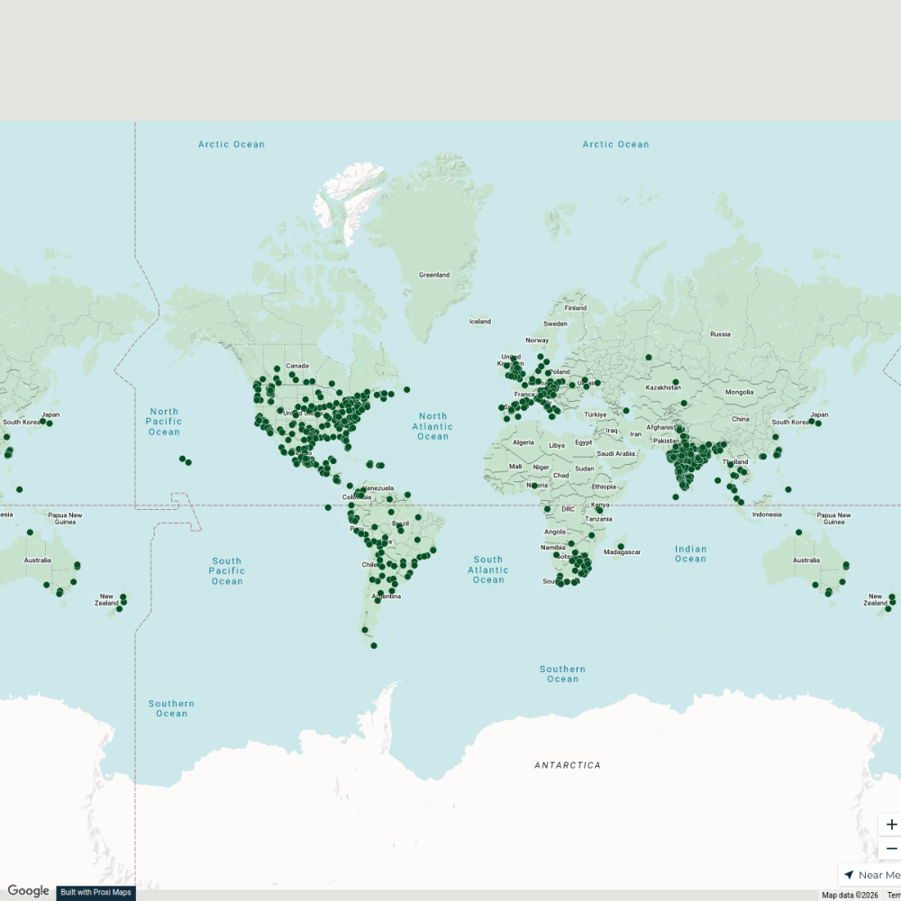
City Nature Challenge 2024 cities
714 stops ajaecker's Workspace
Community Map
Historical Sites of Medieval Bengal
15 stops · West Bengal, IndiaShared by the Proxi communityCommunity Map
Historical Sites of Medieval Bengal
15 stops · West Bengal, IndiaShared by the Proxi community

This map was made with Proxi
Have a main street, a market, or a story worth walking? Make your own map in a few minutes.