
Map · 15 places
West Bengal Political Map
A colorful and detailed political map featuring district boundaries, major cities, rivers, and important landmarks in West Bengal, labeled in English and Bengali.
Made with ProxiUpdated Apr 2025
- City 3
- Hill Station 3
- National Park 3
- Cultural Landmark 2
- Historical Landmark 2
- Religious Site 2
Places on This Map
15 places · 6 groupsNearby Maps
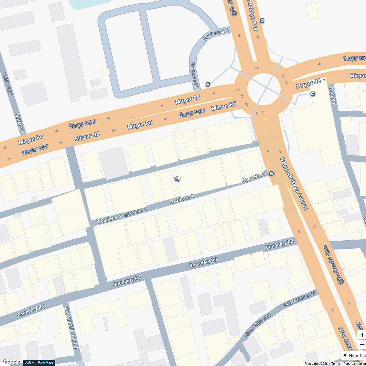
Dream Touch Production Map
9 stops Delwar Hossain's Workspace
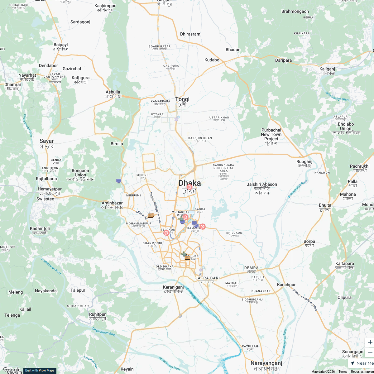
Electronic Media in Dhaka
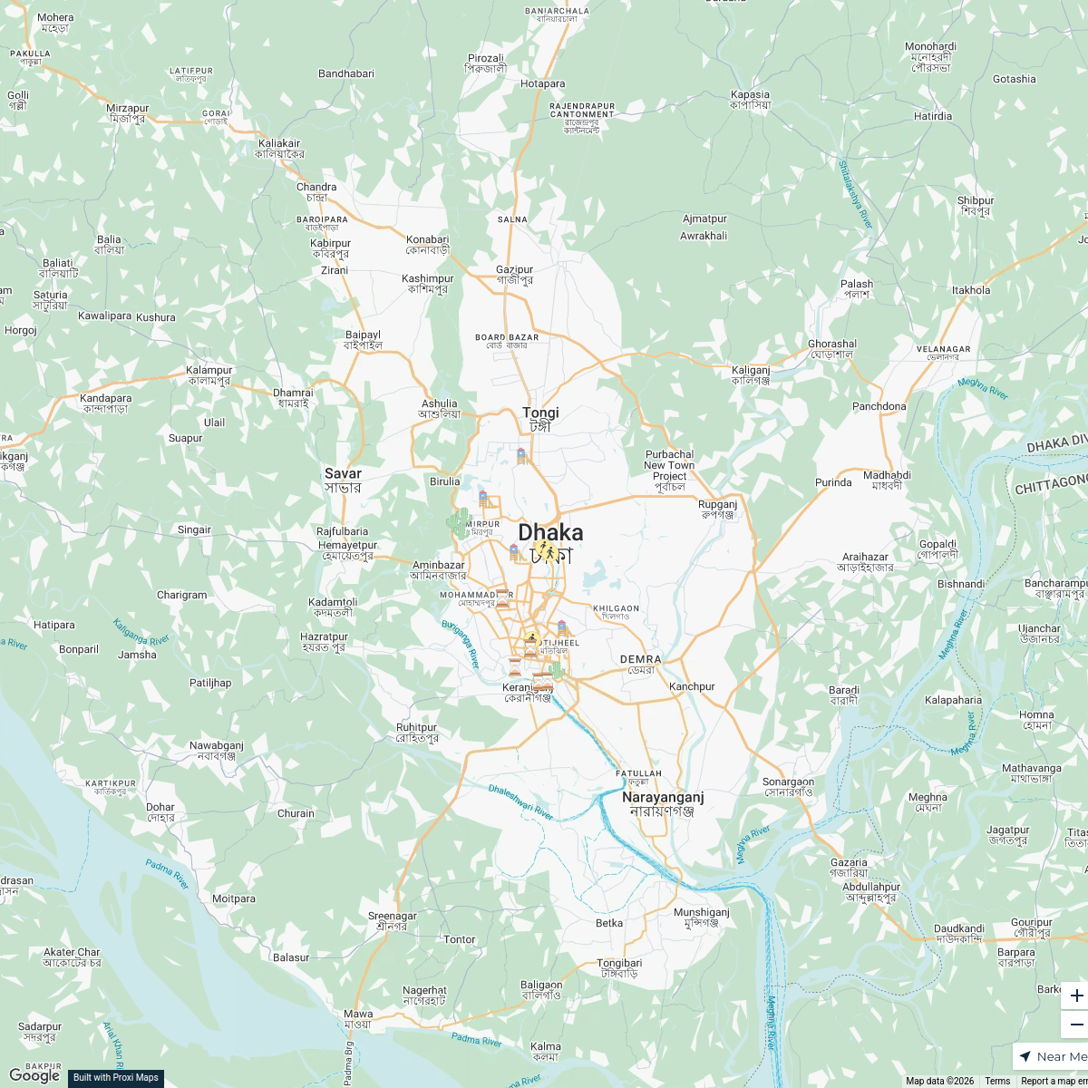
20 stops · Dhaka, BangladeshOffice Building's WorkspaceParks in Dhaka
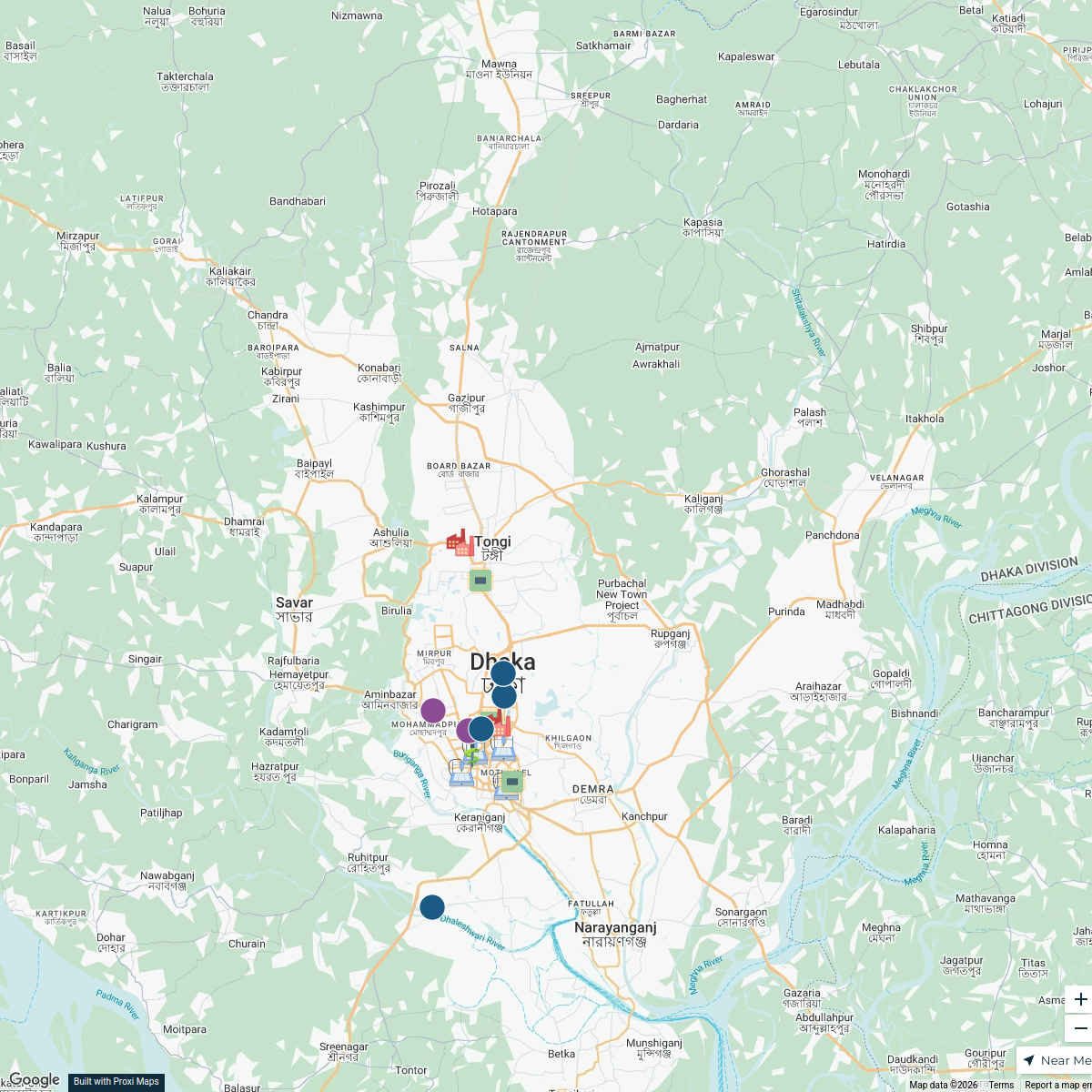
20 stops · Dhaka, Bangladeshrayhanul's WorkspaceDhaka Industries
17 stopsMd Mobashir Hasan's WorkspaceOur Participants
116 stops Future Scholar Foundation's Workspace
National Focal Points
25 stopsu.schwela's Workspace
This map was made with Proxi
Have a main street, a market, or a story worth walking? Make your own map in a few minutes.