
Map · 6 places · Québec, Quebec
Federal Electoral Ridings in Quebec
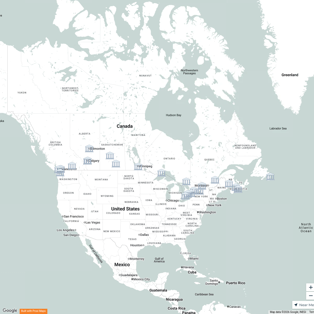
A detailed map showcasing the federal electoral ridings in the province of Quebec, with a focus on the city of Quebec City. This map provides insights into the political boundaries and representation within the region, highlighting key electoral areas and demographics.
Made with ProxiUpdated Apr 2025
- Political Geography 5
- Electoral Ridings 1
Places on This Map
6 places · 2 groupsNearby Maps
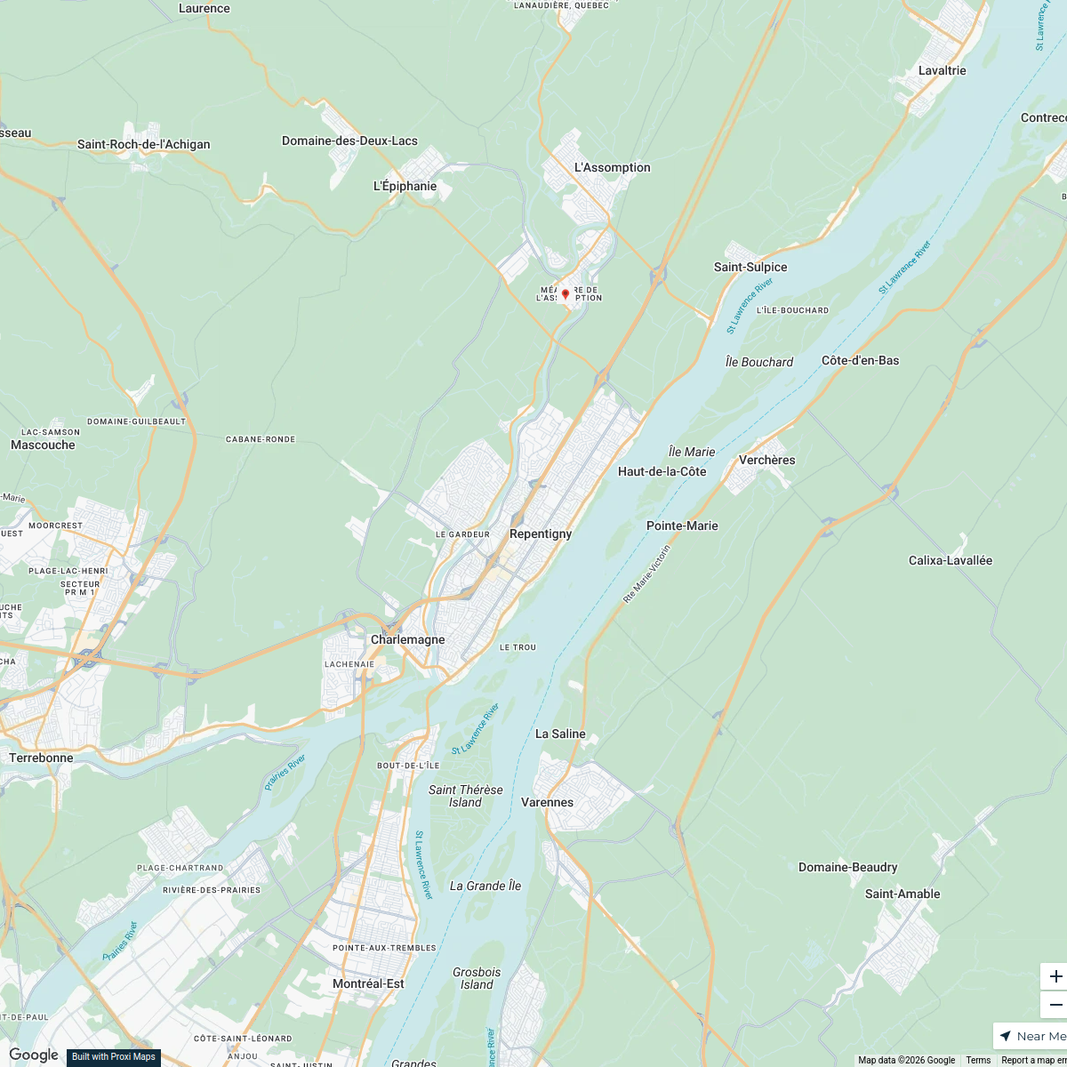
Repentigny Media Distribution
20 stops · Repentigny, QC, Canada service's Workspace
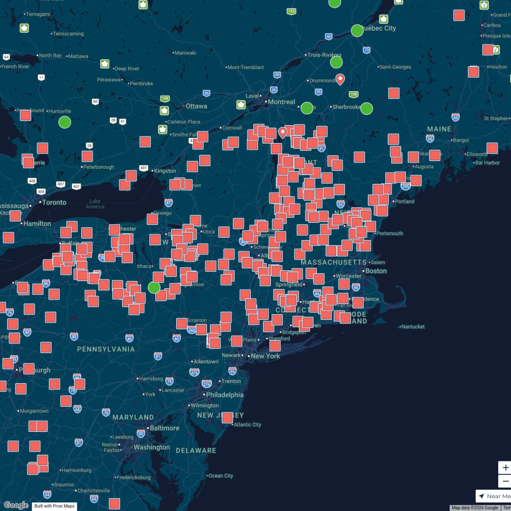
Maple Map / Carte des sucres
441 stops · Albany, NY, USA StoryWorkz Creative's Workspace
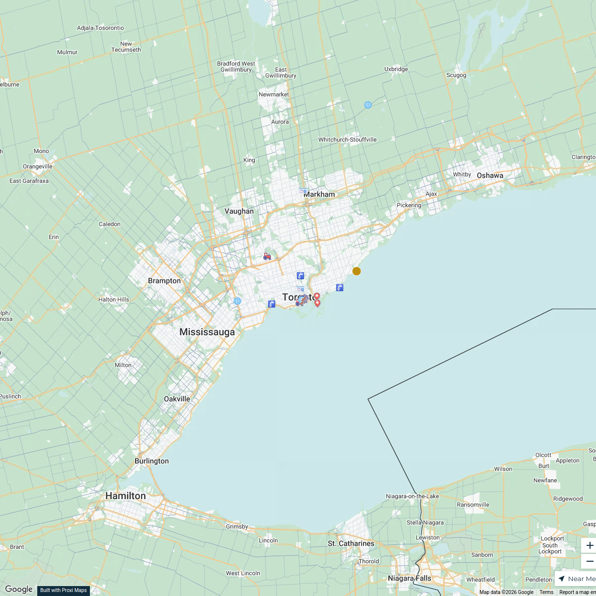
Primary Resources in Canada
38 stops · Toronto, ON, Canada wschw29's Workspace
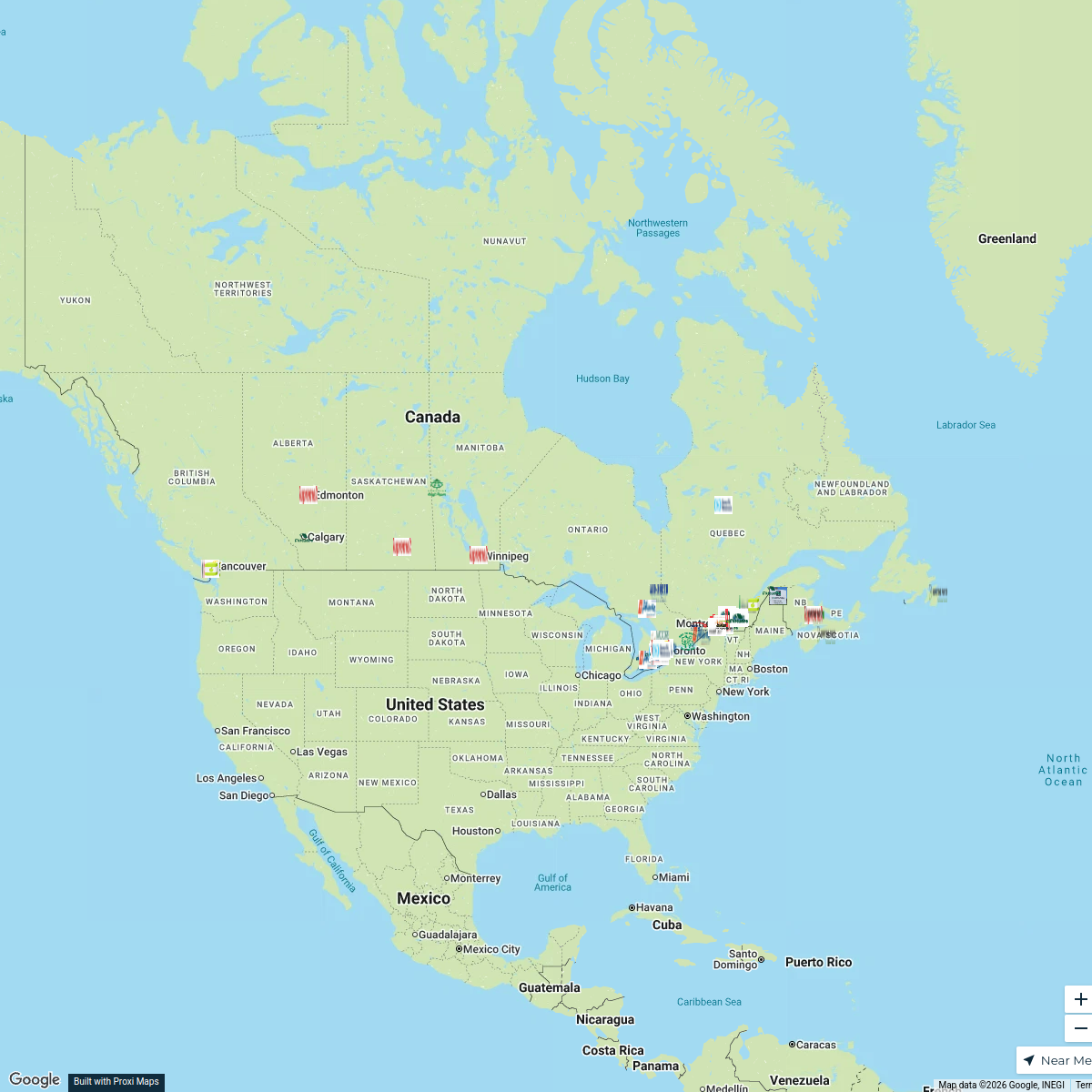
Canadian Corrugated Plants Map
130 stopsBill Buist's WorkspaceS-IMEW 2025 Students
25 stopskmichaud's WorkspacePatriots Fans Around the Globe
622 stopsarielles's Workspace
This map was made with Proxi
Have a main street, a market, or a story worth walking? Make your own map in a few minutes.