
Map · 15 places
District Map of Kozhikode (Calicut)
A detailed district map showcasing the various localities and important landmarks of Kozhikode, Kerala, India, with a focus on enhancing local exploration and navigation.
Made with ProxiUpdated Mar 2025
- Parks 3
- Education Institutions 2
- Healthcare Facilities 2
- Localities 2
- Shopping Areas 2
- Transportation 2
- Cultural Sites 1
- Landmarks 1
Places on This Map
15 places · 8 groupsNearby Maps
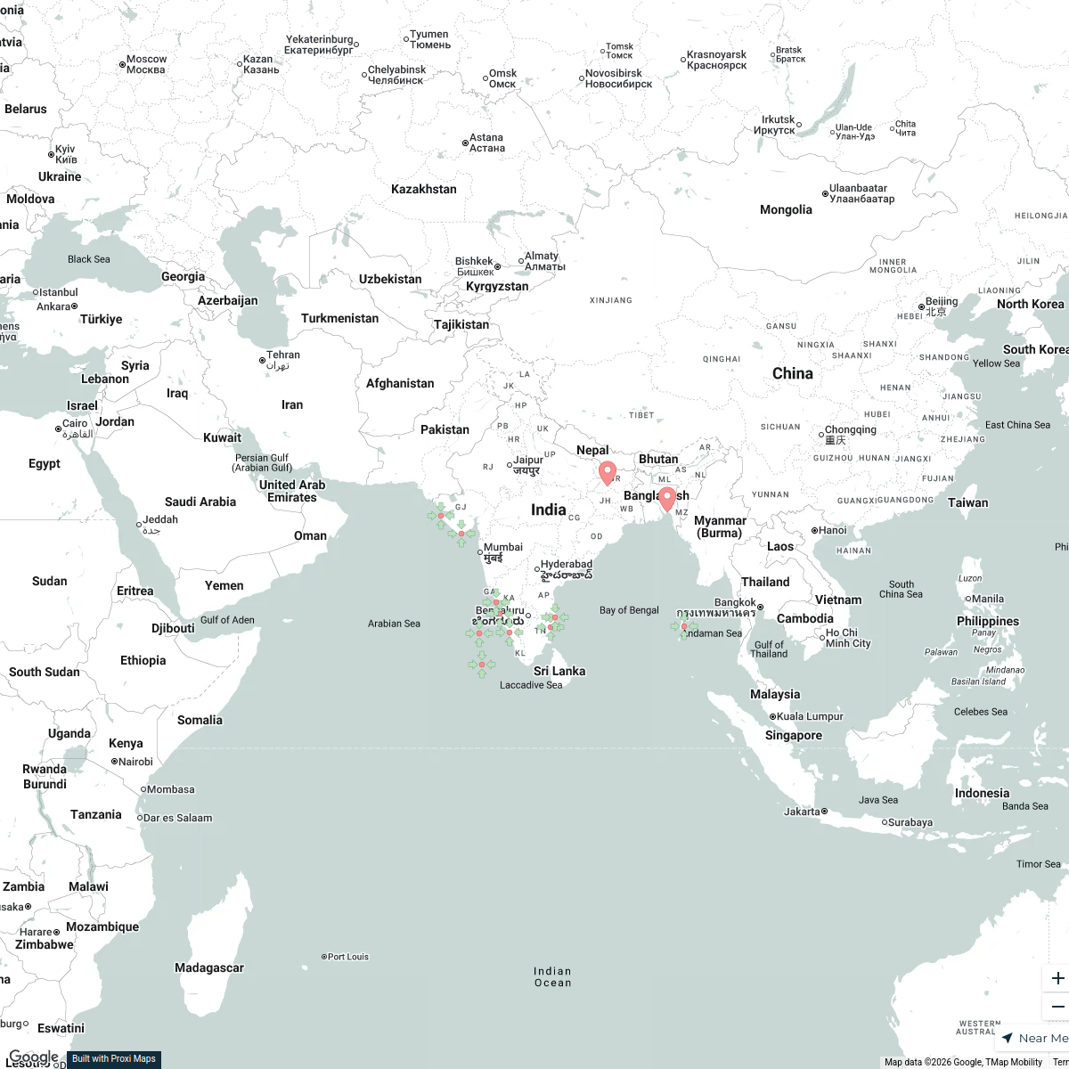
Indian Beaches
12 stops srajangirdonia's Workspace
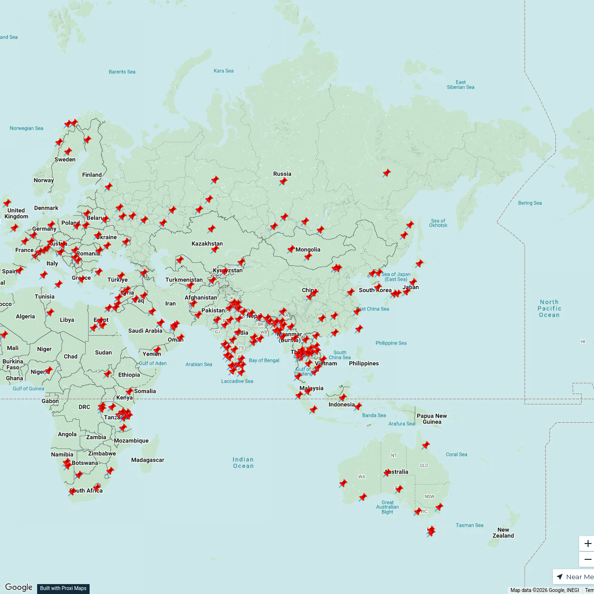
Asia-Centered World Map
211 stops · AsiaCameron's WorkspaceCommunity Map
Peruvannamuzhi Tourist Map
15 stops · Peruvannamuzhi, Kerala 673526, IndiaShared by the Proxi community Community Map
kozhikode near kuttiady
6 stops · Kuttiady, Kerala, IndiaShared by the Proxi community Community Map
photography sites near kattangal, calicut, kerala, india
6 stops · Kattangal, Kerala, IndiaShared by the Proxi communityCommunity Map
Kid-Friendly Adventures in Mukkam
15 stops · Mukkam, Kerala, IndiaShared by the Proxi community
This map was made with Proxi
Have a main street, a market, or a story worth walking? Make your own map in a few minutes.