
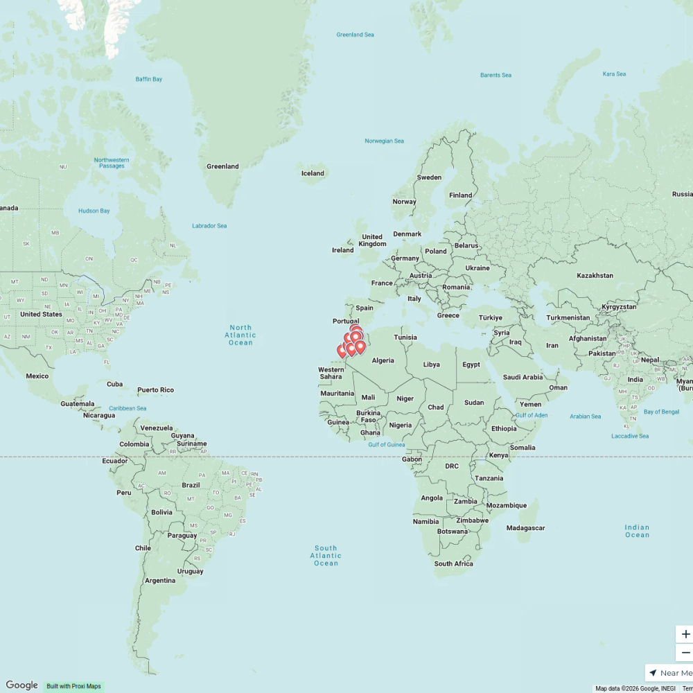
Map · 16 places
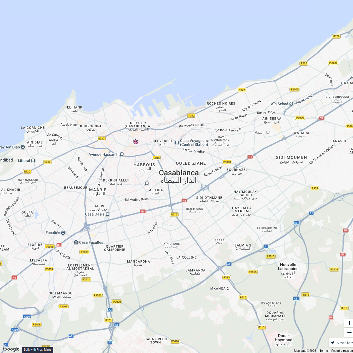
Casablanca Urban Transformation Map
Map highlighting the transformation of the Casablanca region including key sites and infrastructure.
Made with ProxiUpdated Mar 2025
- Transport 3
- Axe routier 2
- Quartier 2
- Ancien site 1
- Espace vert 1
- Établissement éducatif 1
- Géographie 1
- Institution 1
- Parc public 1
- Quartier côtier 1
- Quartier d'affaires 1
- Secteur 1
Places on This Map
16 places · 12 groupsNearby Maps
Mapa de Casablanca
1 stop · Casablanca, Maroc komasolution.contact's Workspace
Citi Guide Morocco
12 stops · Morocco antic.02-zoology's Workspace
history-rich places to visit near morocco
10 stops · Morocco Mel's Workspace
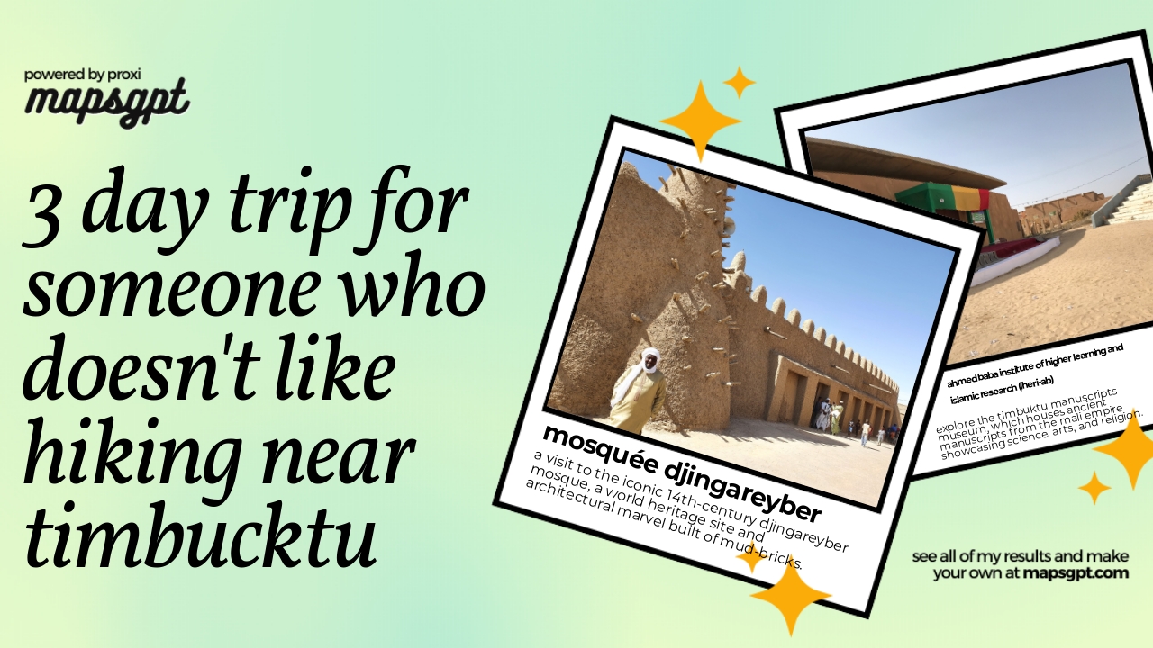
3 day trip for someone who doesn't like hiking near timbucktu
7 stops · Timbuktu, MaliMel's WorkspacePin Your Heart
425 stops · Europe Voluson Performance
European Exploration Map
23 stops · Europesongyu.the.bard's Workspace

This map was made with Proxi
Have a main street, a market, or a story worth walking? Make your own map in a few minutes.