
Map · 2 places
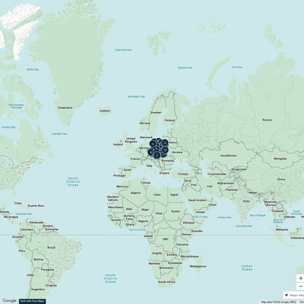
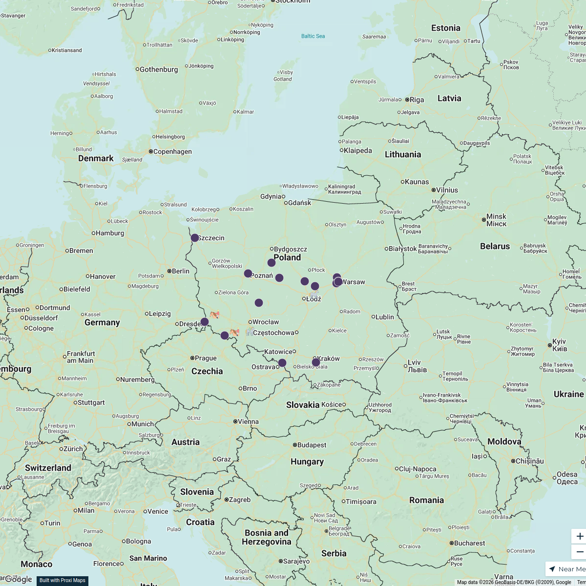
Transportation Routes of Nowa Ruda
A detailed map showcasing the various transportation routes within and around Nowa Ruda, Poland. This map focuses on public transport, road networks, and cycling paths to assist travelers and locals in navigating the area effectively.
Made with ProxiUpdated Mar 2025
- Dirtbike path 1
Places on This Map
2 places · 1 groupNearby Maps
My Proxi Map
87 stops · Czech RepublicJody Dyche-Lock · @Jody Dyche-LockHorse Breeding and Equestrianism in Poland 2024/25
19 stops · Polska jakubprzetocki's Workspace
Community Map
Children's Drawings Attraction Map - Ząbkowice Śląskie
16 stops · Ząbkowice Śląskie, PolskaShared by the Proxi communityCommunity Map
Castles Around Wałbrzych
5 stops · Wałbrzych, PolandShared by the Proxi communityCommunity Map
Places near Wałbrzych
15 stops · Wałbrzych, PolandShared by the Proxi communityCommunity Map
Explore Czarny Bór
14 stops · Wałbrzych, PolandShared by the Proxi community
This map was made with Proxi
Have a main street, a market, or a story worth walking? Make your own map in a few minutes.